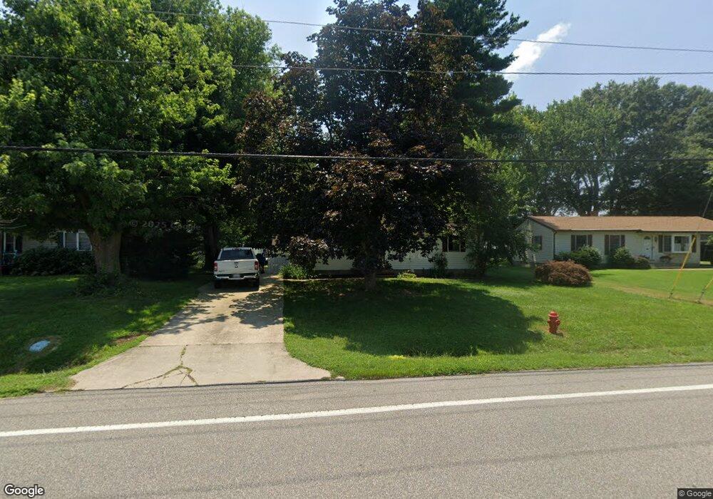
7320 Main St Queenstown, MD 21658
Estimated Value: $296,797 - $381,000
3
Beds
1
Bath
1,080
Sq Ft
$307/Sq Ft
Est. Value
About This Home
This home is located at 7320 Main St, Queenstown, MD 21658 and is currently estimated at $331,449, approximately $306 per square foot. 7320 Main St is a home located in Queen Anne's County with nearby schools including Centreville Elementary School, Kennard Elementary School, and Centreville Middle School.
Ownership History
Date
Name
Owned For
Owner Type
Purchase Details
Closed on
Jun 30, 2009
Sold by
3 B Management Inc
Bought by
Shepard William Thomas
Current Estimated Value
Home Financials for this Owner
Home Financials are based on the most recent Mortgage that was taken out on this home.
Original Mortgage
$220,924
Outstanding Balance
$141,379
Interest Rate
4.93%
Estimated Equity
$190,070
Purchase Details
Closed on
Jun 28, 2002
Sold by
Wildt Khris Edwin
Bought by
3 B Management Inc
Purchase Details
Closed on
Jun 5, 2000
Sold by
Wildt Frederick A
Bought by
Wildt Khris Edwin
Create a Home Valuation Report for This Property
The Home Valuation Report is an in-depth analysis detailing your home's value as well as a comparison with similar homes in the area
Home Values in the Area
Average Home Value in this Area
Purchase History
| Date | Buyer | Sale Price | Title Company |
|---|---|---|---|
| Shepard William Thomas | $225,000 | -- | |
| 3 B Management Inc | $140,000 | -- | |
| Wildt Khris Edwin | $80,000 | -- |
Source: Public Records
Mortgage History
| Date | Status | Borrower | Loan Amount |
|---|---|---|---|
| Open | Shepard William Thomas | $220,924 | |
| Closed | 3 B Management Inc | -- |
Source: Public Records
Tax History
| Year | Tax Paid | Tax Assessment Tax Assessment Total Assessment is a certain percentage of the fair market value that is determined by local assessors to be the total taxable value of land and additions on the property. | Land | Improvement |
|---|---|---|---|---|
| 2025 | $2,675 | $228,033 | $0 | $0 |
| 2024 | $2,563 | $219,800 | $130,600 | $89,200 |
| 2023 | $2,441 | $209,400 | $0 | $0 |
| 2022 | $2,306 | $199,000 | $0 | $0 |
| 2021 | $2,132 | $188,600 | $96,800 | $91,800 |
| 2020 | $2,132 | $186,067 | $0 | $0 |
| 2019 | $2,080 | $183,533 | $0 | $0 |
| 2018 | $2,048 | $181,000 | $96,800 | $84,200 |
| 2017 | $2,047 | $180,100 | $0 | $0 |
| 2016 | -- | $179,200 | $0 | $0 |
| 2015 | $2,251 | $178,300 | $0 | $0 |
| 2014 | $2,251 | $178,300 | $0 | $0 |
Source: Public Records
Map
Nearby Homes
- 100 Wall St
- 0 U S 301
- 248 Harbor Ln
- 252 Harbor Ln
- 325 Greenspring Rd
- 915 Sportsman Neck Rd
- 107 Chestnut Ln
- 201 Sawmill Ln
- 141 Sawmill Ln
- 149 Sawmill Ln
- 155 Sawmill Ln
- 0 Forest Rd
- 105 Port Ct
- 119 Watkins Rd
- 816 Chester River Dr
- 306 Overlook Dr
- 4926 Main St
- 219 Overlook Dr
- 105 Gravel Run Rd
- 0 Vfw Ave Unit MDQA2014970
Your Personal Tour Guide
Ask me questions while you tour the home.