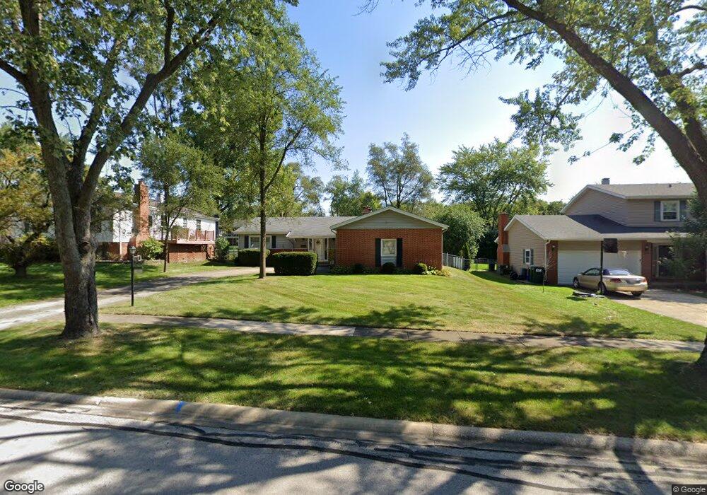
7321 Bunker Rd Darien, IL 60561
Darien AreaEstimated Value: $434,444 - $511,000
About This Home
This home is located at 7321 Bunker Rd, Darien, IL 60561 and is currently estimated at $466,361, approximately $327 per square foot. 7321 Bunker Rd is a home located in DuPage County with nearby schools including Mark Delay School, Lace Elementary School, and Eisenhower Jr High School.
Ownership History
We collect this data history from publicly available records. To have your information removed, we recommend requesting removal directly through your county’s website.
Purchase Details
Purchase Details
Home Values in the Area
Average Home Value in this Area
Purchase History
We collect this data history from publicly available records. To have your information removed, we recommend requesting removal directly through your county’s website.
| Date | Buyer | Sale Price | Title Company |
|---|---|---|---|
| -- | None Listed On Document | ||
| -- | -- |
Tax History
We collect this data history from publicly available records. To have your information removed, we recommend requesting removal directly through your county’s website.
| Year | Tax Paid | Tax Assessment Tax Assessment Total Assessment is a certain percentage of the fair market value that is determined by local assessors to be the total taxable value of land and additions on the property. | Land | Improvement |
|---|---|---|---|---|
| 2024 | $7,143 | $118,864 | $44,959 | $73,905 |
| 2023 | $6,873 | $109,270 | $41,330 | $67,940 |
| 2022 | $6,763 | $107,020 | $40,480 | $66,540 |
| 2021 | $6,505 | $105,800 | $40,020 | $65,780 |
| 2020 | $4,595 | $103,710 | $39,230 | $64,480 |
| 2019 | $4,640 | $99,510 | $37,640 | $61,870 |
| 2018 | $5,441 | $93,710 | $37,370 | $56,340 |
| 2017 | $4,747 | $90,170 | $35,960 | $54,210 |
| 2016 | $4,859 | $86,060 | $34,320 | $51,740 |
| 2015 | $5,112 | $80,970 | $32,290 | $48,680 |
| 2014 | $4,820 | $76,040 | $31,390 | $44,650 |
| 2013 | $4,657 | $75,680 | $31,240 | $44,440 |
Map
- 7422 Brookdale Dr Unit 111
- 7510 Farmingdale Dr Unit 210
- 825 Walnut Dr
- 7706 Hayenga Ln
- 7706 Warwick Ave
- 7810 Del Ct
- 7730 Brookhaven Ave
- 18W088 Claremont Dr
- 7113 Clarendon Hills Rd
- 7829 Nantucket Dr
- 7601 Adams St
- 1121 Lacebark Ct
- 321 Janet Ave
- 709 79th St Unit 408
- 709 79th St Unit 404
- 18W193 Holly Ave
- 1409 Sequoia Ln
- 7806 Regency Grove Dr
- 1120 Ponderosa Ct
- 1430 Sequoia Ln
- Lot 99 Bunker Rd
- 7322 Bunker Rd
- 7325 Bunker Rd
- 7326 Bunker Rd
- 7318 Bunker Rd
- 7317 Bunker Rd
- 7329 Bunker Rd
- 7330 Bunker Rd
- 7314 Bunker Rd
- 7313 Bunker Rd
- 7311 Seminole Ct
- 7333 Bunker Rd
- 7322 Richmond Ave
- 7309 Seminole Ct
- 7336 Bunker Rd
- 7326 Richmond Ave
- 7318 Richmond Ave
- 7310 Bunker Rd
- 7330 Richmond Ave
- 7309 Bunker Rd
Ask me questions while you tour the home.