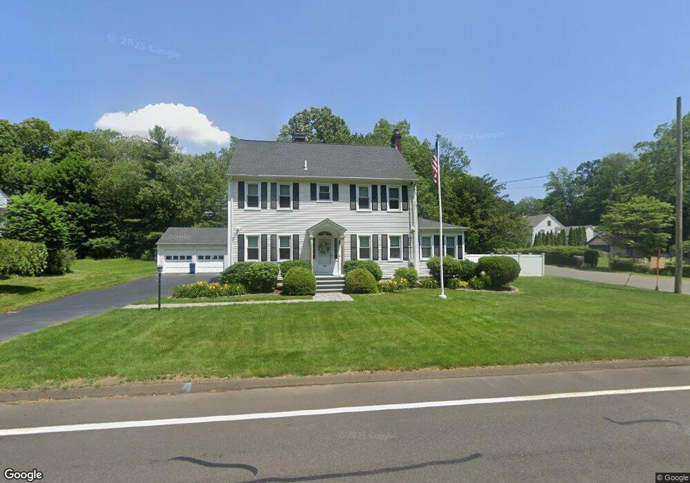
735 Racebrook Rd Orange, CT 06477
Estimated Value: $541,498 - $673,000
4
Beds
3
Baths
2,327
Sq Ft
$263/Sq Ft
Est. Value
About This Home
This home is located at 735 Racebrook Rd, Orange, CT 06477 and is currently estimated at $611,625, approximately $262 per square foot. 735 Racebrook Rd is a home located in New Haven County with nearby schools including Mary L. Tracy School, Race Brook School, and Amity Middle School: Orange.
Ownership History
Date
Name
Owned For
Owner Type
Purchase Details
Closed on
Aug 2, 2002
Sold by
Raymond Elarne C
Bought by
Sandillo Mark and Sandillo Maria
Current Estimated Value
Home Financials for this Owner
Home Financials are based on the most recent Mortgage that was taken out on this home.
Original Mortgage
$264,000
Interest Rate
6.64%
Create a Home Valuation Report for This Property
The Home Valuation Report is an in-depth analysis detailing your home's value as well as a comparison with similar homes in the area
Home Values in the Area
Average Home Value in this Area
Purchase History
| Date | Buyer | Sale Price | Title Company |
|---|---|---|---|
| Sandillo Mark | $330,000 | -- | |
| Sandillo Mark | $330,000 | -- |
Source: Public Records
Mortgage History
| Date | Status | Borrower | Loan Amount |
|---|---|---|---|
| Open | Sandillo Mark | $334,400 | |
| Closed | Sandillo Mark | $348,261 | |
| Closed | Sandillo Mark | $51,830 | |
| Closed | Sandillo Mark | $264,000 |
Source: Public Records
Tax History
| Year | Tax Paid | Tax Assessment Tax Assessment Total Assessment is a certain percentage of the fair market value that is determined by local assessors to be the total taxable value of land and additions on the property. | Land | Improvement |
|---|---|---|---|---|
| 2025 | $8,538 | $293,400 | $117,900 | $175,500 |
| 2024 | $9,095 | $293,400 | $117,900 | $175,500 |
| 2023 | $6,846 | $211,900 | $86,000 | $125,900 |
| 2022 | $6,725 | $205,600 | $86,000 | $119,600 |
| 2021 | $6,836 | $205,600 | $86,000 | $119,600 |
| 2020 | $6,731 | $205,600 | $86,000 | $119,600 |
| 2019 | $6,701 | $205,600 | $86,000 | $119,600 |
| 2018 | $6,579 | $205,600 | $86,000 | $119,600 |
| 2017 | $6,566 | $197,300 | $89,100 | $108,200 |
| 2016 | $6,353 | $197,300 | $89,100 | $108,200 |
| 2015 | $6,195 | $197,300 | $89,100 | $108,200 |
| 2014 | $6,018 | $197,300 | $89,100 | $108,200 |
Source: Public Records
Map
Nearby Homes
- 589 Racebrook Rd
- 11 Williamsburg Dr
- 920 Green Cir
- 1025 Field Dr
- 24 Brierwood Dr
- 148 Kennedy Dr
- 588 Summit Dr
- 17 Bunker Hill Rd
- 884 Grassy Hill Rd
- 830 Bayberry Ln
- 167 Porter Ln
- 424 Racebrook Rd
- 149 Canton St Unit 18
- 7 Ipswich St
- 120 Canton St
- 48 Trescott St
- 127 Rangely St
- 847 Glenbrook Rd
- 50 Maltby Ave
- 45 Swampscott St
- 739 Racebrook Rd
- 727 Racebrook Rd
- 26 Muirfield Dr
- 741 Racebrook Rd
- 11 Muirfield Dr
- 725 Racebrook Rd
- 17 Woodside Dr
- 15 Muirfield Dr
- 23 Muirfield Dr
- 19 Muirfield Dr
- 29 Muirfield Dr
- 747 Racebrook Rd
- 16 Woodside Dr
- 12 Woodside Dr
- 20 Woodside Dr
- 24 Woodside Dr
- 749 Racebrook Rd
- 33 Woodside Dr
- 28 Woodside Dr
- 716 Racebrook Rd
Your Personal Tour Guide
Ask me questions while you tour the home.