Estimated Value: $231,000 - $332,000
Studio
--
Bath
1,601
Sq Ft
$182/Sq Ft
Est. Value
About This Home
This home is located at 73574 V Rd, Funk, NE 68940 and is currently estimated at $291,319, approximately $181 per square foot. 73574 V Rd is a home located in Phelps County with nearby schools including Axtell Elementary School and Axtell High School.
Ownership History
Date
Name
Owned For
Owner Type
Purchase Details
Closed on
Oct 28, 2005
Sold by
Strolberg David R and Strolberg Cheryl
Bought by
Latter Craig L
Current Estimated Value
Home Financials for this Owner
Home Financials are based on the most recent Mortgage that was taken out on this home.
Original Mortgage
$102,900
Interest Rate
5.75%
Mortgage Type
New Conventional
Create a Home Valuation Report for This Property
The Home Valuation Report is an in-depth analysis detailing your home's value as well as a comparison with similar homes in the area
Purchase History
| Date | Buyer | Sale Price | Title Company |
|---|---|---|---|
| Latter Craig L | $135,000 | -- |
Source: Public Records
Mortgage History
| Date | Status | Borrower | Loan Amount |
|---|---|---|---|
| Closed | Latter Craig L | $102,900 |
Source: Public Records
Tax History
| Year | Tax Paid | Tax Assessment Tax Assessment Total Assessment is a certain percentage of the fair market value that is determined by local assessors to be the total taxable value of land and additions on the property. | Land | Improvement |
|---|---|---|---|---|
| 2025 | $1,643 | $240,015 | $38,720 | $201,295 |
| 2024 | $2,088 | $213,660 | $38,720 | $174,940 |
| 2023 | $2,088 | $194,460 | $38,720 | $155,740 |
| 2022 | $2,109 | $186,060 | $38,720 | $147,340 |
| 2021 | $1,783 | $169,130 | $38,720 | $130,410 |
| 2020 | $1,724 | $169,130 | $38,720 | $130,410 |
| 2019 | $1,464 | $154,870 | $38,720 | $116,150 |
| 2018 | $1,292 | $147,725 | $33,720 | $114,005 |
| 2017 | $1,249 | $142,840 | $27,790 | $115,050 |
| 2016 | $1,313 | $141,150 | $27,790 | $113,360 |
| 2015 | $1,333 | $141,150 | $27,790 | $113,360 |
| 2014 | $1,962 | $121,590 | $27,790 | $93,800 |
| 2013 | $1,962 | $121,590 | $27,790 | $93,800 |
Source: Public Records
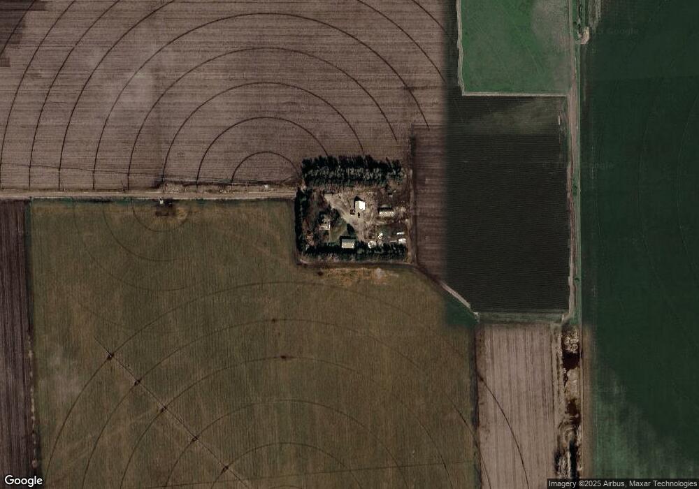
Map
Nearby Homes
- 700 D Ave
- L1B2 Craneview 3rd Subdivison
- 0000 Polyline Rd
- 1313 Pamela Ave
- 915 Sherman St
- 816 Garfield St
- 1010 East Ave
- 1103 East Ave
- 602 11th Ave
- 420 14th Ave
- 102 W Alonzo St
- 1023 Hancock St
- 1019 Hancock St
- 73803 Highway 183
- 815 Tibbals St
- 1306 Maberly St
- Lot 4 Block 3 Quail Run
- Lot 3 Block 3 Quail Run
- Lot 2 Block 3 Quail Run
- 901 Maberly St
Your Personal Tour Guide
Ask me questions while you tour the home.