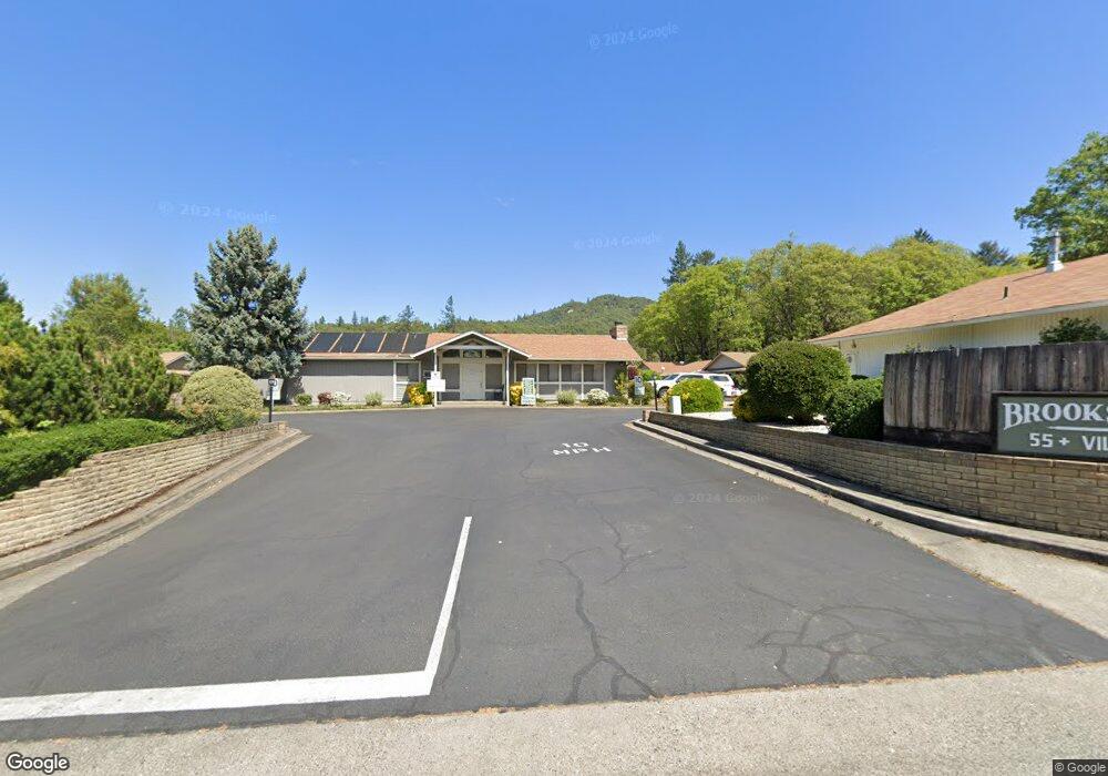
737 Brookside Cir Rogue River, OR 97537
Estimated Value: $272,000 - $317,000
2
Beds
1
Bath
1,008
Sq Ft
$290/Sq Ft
Est. Value
About This Home
This home is located at 737 Brookside Cir, Rogue River, OR 97537 and is currently estimated at $292,047, approximately $289 per square foot. 737 Brookside Cir is a home located in Jackson County with nearby schools including South Valley Academy, Rogue River Elementary School, and Rogue River Junior/Senior High School.
Ownership History
Date
Name
Owned For
Owner Type
Purchase Details
Closed on
May 17, 2010
Sold by
Livin Renfer Linda J and Livin Linda J Renfer Revocable
Bought by
Hatlestad Leif E and Hatlestad Shirley R
Current Estimated Value
Home Financials for this Owner
Home Financials are based on the most recent Mortgage that was taken out on this home.
Original Mortgage
$129,951
Outstanding Balance
$86,049
Interest Rate
5.04%
Mortgage Type
VA
Estimated Equity
$205,998
Purchase Details
Closed on
Mar 16, 2009
Sold by
Renfer Linda J
Bought by
Renfer Linda J and Linda J Renfer Revocable Living Trust
Create a Home Valuation Report for This Property
The Home Valuation Report is an in-depth analysis detailing your home's value as well as a comparison with similar homes in the area
Home Values in the Area
Average Home Value in this Area
Purchase History
| Date | Buyer | Sale Price | Title Company |
|---|---|---|---|
| Hatlestad Leif E | $123,000 | First American | |
| Renfer Linda J | -- | None Available |
Source: Public Records
Mortgage History
| Date | Status | Borrower | Loan Amount |
|---|---|---|---|
| Open | Hatlestad Leif E | $129,951 |
Source: Public Records
Tax History
| Year | Tax Paid | Tax Assessment Tax Assessment Total Assessment is a certain percentage of the fair market value that is determined by local assessors to be the total taxable value of land and additions on the property. | Land | Improvement |
|---|---|---|---|---|
| 2026 | $1,914 | $133,680 | -- | -- |
| 2025 | $1,853 | $129,790 | $61,890 | $67,900 |
| 2024 | $1,853 | $126,010 | $60,090 | $65,920 |
| 2023 | $1,793 | $122,340 | $58,340 | $64,000 |
| 2022 | $1,751 | $122,340 | $58,340 | $64,000 |
| 2021 | $1,702 | $118,780 | $56,650 | $62,130 |
| 2020 | $1,658 | $115,330 | $54,990 | $60,340 |
| 2019 | $1,618 | $108,720 | $51,840 | $56,880 |
| 2018 | $1,576 | $105,560 | $50,330 | $55,230 |
| 2017 | $1,540 | $105,560 | $50,330 | $55,230 |
| 2016 | $1,501 | $99,510 | $47,430 | $52,080 |
| 2015 | $1,460 | $99,510 | $42,160 | $57,350 |
| 2014 | $1,413 | $93,810 | $39,740 | $54,070 |
Source: Public Records
Map
Nearby Homes
- 182 Wards Creek Rd
- 714 Brookside Cir
- 2661 Wards Creek Rd
- 103 Wards Creek Ln
- 107 Marie Cir
- 105 Brolin Ct
- 5525 Red Tail Ln
- 5500 Red Tail Ln
- 304 Wards Creek Rd
- 111 Cedar St
- 101 Cedar Ridge Terrace
- 105 Cedar Ridge Terrace
- 509 Cypress Ave
- 766 N River Rd
- 904 Broadway St Unit 503
- 202 W Main St Unit TL 1303
- 512 Pine St
- 707 Wards Creek Rd
- 5508 Rogue River Hwy
- 8401 Rogue River Hwy
- 735 Brookside Cir
- 702 Brookside Cir
- 704 Brookside Cir
- 736 Brookside Cir
- 738 Brookside Cir
- 734 Brookside Cir
- 740 Brookside Cir
- 732 Brookside Cir
- 707 Brookside Cir
- 733 Brookside Cir
- 709 Brookside Cir
- 705 Brookside Cir
- 744 Brookside Cir
- 708 Brookside Cir
- 730 Brookside Cir
- 711 Brookside Cir
- 731 Brookside Cir
- 703 Brookside Cir
- 710 Brookside Cir
- 715 Brookside Cir
Your Personal Tour Guide
Ask me questions while you tour the home.