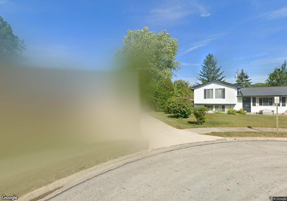
737 County Line Rd Westerville, OH 43081
Estimated Value: $319,000 - $326,000
3
Beds
2
Baths
1,238
Sq Ft
$261/Sq Ft
Est. Value
About This Home
This home is located at 737 County Line Rd, Westerville, OH 43081 and is currently estimated at $322,877, approximately $260 per square foot. 737 County Line Rd is a home located in Franklin County with nearby schools including Robert Frost Elementary School, Heritage Middle School, and Westerville-North High School.
Ownership History
Date
Name
Owned For
Owner Type
Purchase Details
Closed on
Jul 30, 2003
Sold by
Mccomb Gordon J and Mccomb Kim E
Bought by
Miller Toni L
Current Estimated Value
Home Financials for this Owner
Home Financials are based on the most recent Mortgage that was taken out on this home.
Original Mortgage
$126,089
Outstanding Balance
$53,052
Interest Rate
5.47%
Mortgage Type
Purchase Money Mortgage
Estimated Equity
$269,825
Purchase Details
Closed on
Dec 27, 2000
Sold by
Heimann Beckie S and Bice Beckie S
Bought by
Mccomb Gordon J and Mccomb Kim E
Home Financials for this Owner
Home Financials are based on the most recent Mortgage that was taken out on this home.
Original Mortgage
$109,500
Interest Rate
7.69%
Mortgage Type
VA
Purchase Details
Closed on
Jul 2, 1990
Bought by
Bice Harold D and Bice Beckie S
Purchase Details
Closed on
Sep 1, 1987
Create a Home Valuation Report for This Property
The Home Valuation Report is an in-depth analysis detailing your home's value as well as a comparison with similar homes in the area
Home Values in the Area
Average Home Value in this Area
Purchase History
| Date | Buyer | Sale Price | Title Company |
|---|---|---|---|
| Miller Toni L | $127,900 | Gahanna Title | |
| Mccomb Gordon J | $107,400 | Chicago Title West | |
| Bice Harold D | $74,000 | -- | |
| -- | $66,900 | -- |
Source: Public Records
Mortgage History
| Date | Status | Borrower | Loan Amount |
|---|---|---|---|
| Open | Miller Toni L | $126,089 | |
| Previous Owner | Mccomb Gordon J | $109,500 |
Source: Public Records
Tax History
| Year | Tax Paid | Tax Assessment Tax Assessment Total Assessment is a certain percentage of the fair market value that is determined by local assessors to be the total taxable value of land and additions on the property. | Land | Improvement |
|---|---|---|---|---|
| 2025 | $5,110 | $89,920 | $30,560 | $59,360 |
| 2024 | $5,110 | $89,920 | $30,560 | $59,360 |
| 2023 | $5,002 | $89,920 | $30,560 | $59,360 |
| 2022 | $4,437 | $60,900 | $17,570 | $43,330 |
| 2021 | $4,474 | $60,900 | $17,570 | $43,330 |
| 2020 | $4,461 | $60,900 | $17,570 | $43,330 |
| 2019 | $3,898 | $50,230 | $17,570 | $32,660 |
| 2018 | $3,758 | $50,230 | $17,570 | $32,660 |
| 2017 | $3,833 | $50,230 | $17,570 | $32,660 |
| 2016 | $3,815 | $45,500 | $17,500 | $28,000 |
| 2015 | $3,695 | $45,500 | $17,500 | $28,000 |
| 2014 | $3,697 | $45,500 | $17,500 | $28,000 |
| 2013 | $1,758 | $43,330 | $16,660 | $26,670 |
Source: Public Records
Map
Nearby Homes
- 852 Karen Ct
- 570 Susan Ave
- 222 Juniper Ave
- 667 E College Ave
- 478 Burns Dr N
- 192 Sassafras Way
- 62 College Place
- 1075 Carousel Ct
- 192 Buckeye Ct
- 30 Kim Ct W
- 961 E College Ave
- 393 Canterbury Ct
- 262 Crawford Ct
- 329 Hampton Park
- 373 Wyndham Park S
- 339 Aylesbury Dr S
- 1103 Blue Heron Dr
- 328 Myrtle Dr Unit Lot 5
- 348 Myrtle Dr Unit Lot 10
- 337 Myrtle Dr Unit Lot 2
- 729 County Line Rd
- 745 County Line Rd
- 192 Kenmore Ct
- 189 Kenmore Ct
- 721 County Line Rd
- 753 County Line Rd
- 187 Coventry Ct
- 194 Coventry Ct
- 758 Pepper Ct
- 289 Mill Wind Ct S
- 186 Kenmore Ct
- 713 County Line Rd
- 761 Pepper Ct
- 183 Kenmore Ct
- 690 Lakeland Dr
- 718 Lakeland Dr
- 290 Mill Wind Ct S
- 295 Mill Wind Ct S
- 185 Fairlawn Ct
- 769 County Line Rd
Your Personal Tour Guide
Ask me questions while you tour the home.