7375 State Line Rd West Springfield, PA 16443
Estimated Value: $233,000 - $275,000
2
Beds
2
Baths
936
Sq Ft
$274/Sq Ft
Est. Value
About This Home
This home is located at 7375 State Line Rd, West Springfield, PA 16443 and is currently estimated at $256,375, approximately $273 per square foot. 7375 State Line Rd is a home located in Erie County with nearby schools including Northwestern Senior High School.
Ownership History
Date
Name
Owned For
Owner Type
Purchase Details
Closed on
May 3, 2007
Sold by
Cross William J
Bought by
Rhoades Brad A
Current Estimated Value
Home Financials for this Owner
Home Financials are based on the most recent Mortgage that was taken out on this home.
Original Mortgage
$118,400
Outstanding Balance
$16,374
Interest Rate
6.23%
Mortgage Type
Purchase Money Mortgage
Estimated Equity
$240,001
Purchase Details
Closed on
Apr 3, 2007
Sold by
Estate Of Helen M Carr
Bought by
Cross William J and Mcmahon Florence E
Home Financials for this Owner
Home Financials are based on the most recent Mortgage that was taken out on this home.
Original Mortgage
$118,400
Outstanding Balance
$16,374
Interest Rate
6.23%
Mortgage Type
Purchase Money Mortgage
Estimated Equity
$240,001
Create a Home Valuation Report for This Property
The Home Valuation Report is an in-depth analysis detailing your home's value as well as a comparison with similar homes in the area
Purchase History
| Date | Buyer | Sale Price | Title Company |
|---|---|---|---|
| Rhoades Brad A | $148,000 | None Available | |
| Cross William J | $98,900 | None Available |
Source: Public Records
Mortgage History
| Date | Status | Borrower | Loan Amount |
|---|---|---|---|
| Open | Rhoades Brad A | $118,400 | |
| Closed | Cross William J | $98,900 |
Source: Public Records
Tax History
| Year | Tax Paid | Tax Assessment Tax Assessment Total Assessment is a certain percentage of the fair market value that is determined by local assessors to be the total taxable value of land and additions on the property. | Land | Improvement |
|---|---|---|---|---|
| 2025 | $2,905 | $143,060 | $36,500 | $106,560 |
| 2024 | $2,840 | $143,060 | $36,500 | $106,560 |
| 2023 | $2,598 | $143,060 | $36,500 | $106,560 |
| 2022 | $2,487 | $143,060 | $36,500 | $106,560 |
| 2021 | $2,454 | $143,060 | $36,500 | $106,560 |
| 2020 | $2,418 | $143,060 | $36,500 | $106,560 |
| 2019 | $2,368 | $143,060 | $36,500 | $106,560 |
| 2018 | $2,254 | $143,060 | $36,500 | $106,560 |
| 2017 | $2,254 | $143,060 | $36,500 | $106,560 |
| 2016 | $2,873 | $143,060 | $36,500 | $106,560 |
| 2015 | $2,837 | $143,060 | $36,500 | $106,560 |
| 2014 | $1,461 | $143,060 | $36,500 | $106,560 |
Source: Public Records
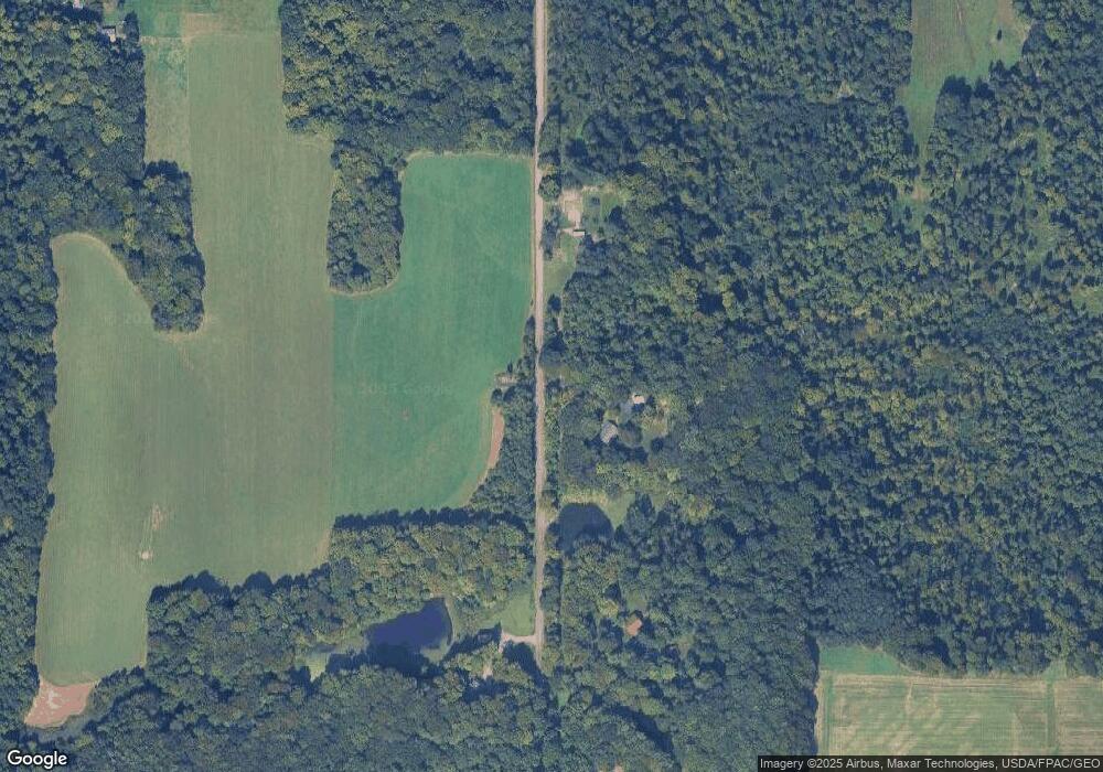
Map
Nearby Homes
- 370 E Underridge Rd
- 352 S Ridge Rd E
- 434 E Main Rd
- 630 Dorman Rd
- 0 Dorman Rd
- 366 Old Main Rd
- 14603 Ridge Rd
- 146 Nickle Plate Ave
- 0 Griffey Rd
- VL Center Rd
- 18 Hillcrest Ct
- 386 Washington St
- 13853 Ridge Rd
- 276 Orange St
- 450 Buffalo St
- 475 State St
- 297 Depot St
- 536 Madison St
- 375 Bliss Ave
- 9573 State Line Rd
- 7449 State Line Rd
- 7293 State Line Rd
- 711 State Line Rd
- 7457 State Line Rd
- 599 State Line Rd
- 537 E Under Ridge Rd
- 14803 Underridge Rd
- 246 John Ave
- 779 State Line Rd
- 250 John Ave
- 348 Tony Dr
- 260 John Ave
- 345 Tony Dr
- 346 Pryately Blvd
- 338 Tony Dr
- 339 Tony Dr
- 333 Tony Dr
- 339 Pryately Blvd
- 336 Pryately Blvd
- 702 Furnace Rd
Your Personal Tour Guide
Ask me questions while you tour the home.