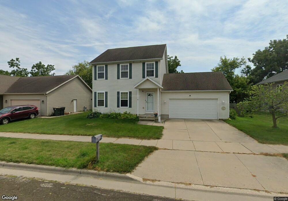
739 Robin Dr Sun Prairie, WI 53590
Eastern Sun Prairie NeighborhoodEstimated Value: $413,000 - $427,000
About This Home
This home is located at 739 Robin Dr, Sun Prairie, WI 53590 and is currently estimated at $419,808, approximately $278 per square foot. 739 Robin Dr is a home located in Dane County with nearby schools including Northside Elementary School, Sun Prairie East High School, and Sacred Hearts School.
Ownership History
We collect this data history from publicly available records. To have your information removed, we recommend requesting removal directly through your county’s website.
Purchase Details
Home Financials for this Owner
Home Financials are based on the most recent Mortgage that was taken out on this home.Purchase Details
Home Financials for this Owner
Home Financials are based on the most recent Mortgage that was taken out on this home.Purchase Details
Home Financials for this Owner
Home Financials are based on the most recent Mortgage that was taken out on this home.Home Values in the Area
Average Home Value in this Area
Purchase History
We collect this data history from publicly available records. To have your information removed, we recommend requesting removal directly through your county’s website.
| Date | Buyer | Sale Price | Title Company |
|---|---|---|---|
| $199,900 | None Available | ||
| $190,000 | None Available | ||
| $48,900 | None Available |
Mortgage History
We collect this data history from publicly available records. To have your information removed, we recommend requesting removal directly through your county’s website.
| Date | Status | Borrower | Loan Amount |
|---|---|---|---|
| Open | $149,900 | ||
| Previous Owner | $190,000 | ||
| Previous Owner | $32,830 |
Tax History
We collect this data history from publicly available records. To have your information removed, we recommend requesting removal directly through your county’s website.
| Year | Tax Paid | Tax Assessment Tax Assessment Total Assessment is a certain percentage of the fair market value that is determined by local assessors to be the total taxable value of land and additions on the property. | Land | Improvement |
|---|---|---|---|---|
| 2025 | $6,397 | $325,000 | $60,100 | $264,900 |
| 2024 | $6,096 | $325,000 | $60,100 | $264,900 |
| 2023 | $5,521 | $325,000 | $60,100 | $264,900 |
| 2022 | $5,361 | $253,500 | $48,900 | $204,600 |
| 2021 | $5,247 | $253,500 | $48,900 | $204,600 |
| 2020 | $5,389 | $253,500 | $48,900 | $204,600 |
| 2019 | $5,002 | $209,800 | $38,200 | $171,600 |
| 2018 | $4,640 | $209,800 | $38,200 | $171,600 |
| 2017 | $4,468 | $209,800 | $38,200 | $171,600 |
| 2016 | $4,344 | $185,100 | $35,300 | $149,800 |
| 2015 | $4,224 | $185,100 | $35,300 | $149,800 |
| 2014 | $4,101 | $178,700 | $35,300 | $143,400 |
| 2013 | $4,700 | $178,700 | $35,300 | $143,400 |
Map
- 699 Robin Dr
- 230 White Tail Dr
- 268 Sweet Grass Dr
- 876 Remington Way
- 672 Clardell Dr Unit 672
- 734 Alder Way
- 236 Westend Cir
- 809 S Musket Ridge Dr
- 716 Thomas Dr
- 1013 Westridge Dr
- 1061 Kamperschroer Way
- 542 Woodview Dr
- 1133 Kamperschroer Way
- 209 Oak St
- 927 Camp Fire Dr
- 5833 Town Hall Dr
- 1271 Gas Light Dr
- 190 Hillcrest Cir
- 122 Gary Ct
- Phase 2 Lots Town Hall Dr
- 727 Robin Dr
- 715 Robin Dr
- 718 Cypress Ct
- 712 Cypress Ct
- 751 Robin Dr
- 716 Bluestem Ct
- 721 Cypress Ct
- 748 Bluestem Ct
- 303 White Tail Dr
- 313 White Tail Dr
- 720 Bluestem Ct
- 744 Bluestem Ct
- 261 White Tail Dr
- 702 Cypress Ct
- 715 Cypress Ct
- 715 Cypress Cir
- 95 Whitetail Dr
- 724 Bluestem Ct
- L88 White Tail Dr
- L101 White Tail Dr
Ask me questions while you tour the home.