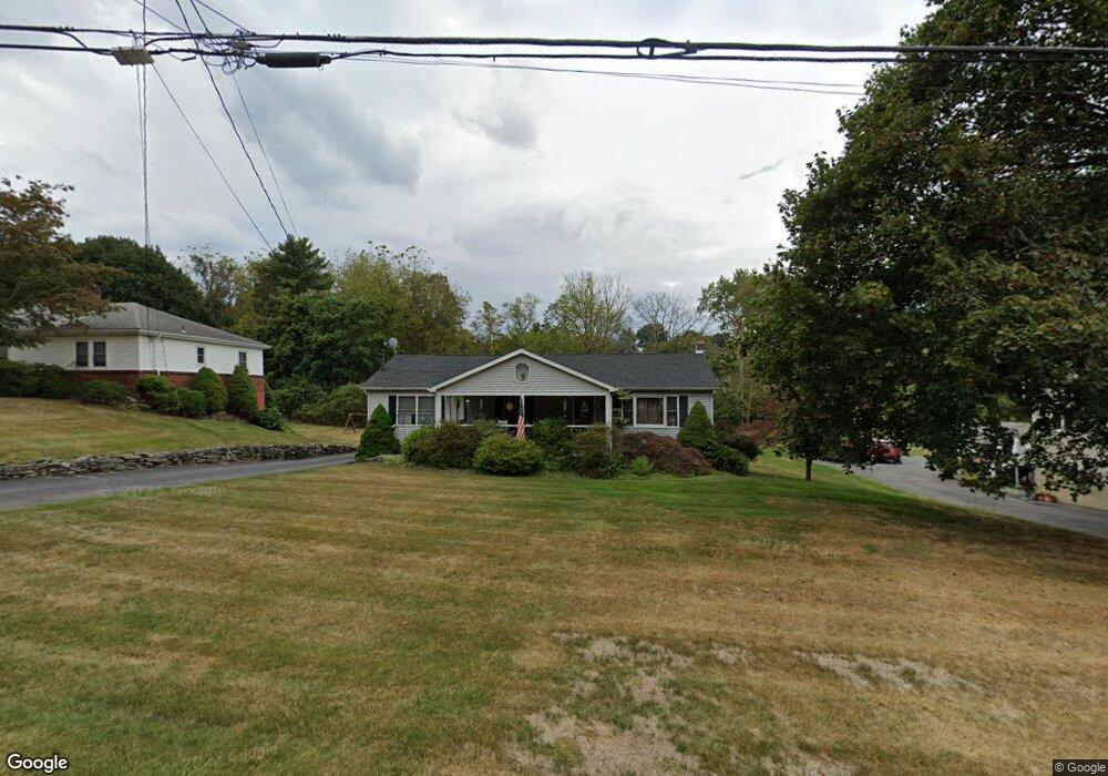
74 Dalfonso Rd Newburgh, NY 12550
Estimated Value: $423,249 - $492,000
About This Home
This home is located at 74 Dalfonso Rd, Newburgh, NY 12550 and is currently estimated at $445,812, approximately $329 per square foot. 74 Dalfonso Rd is a home located in Orange County with nearby schools including Newburgh Free Academy Main Campus and San Miguel Academy Of Newburgh.
Ownership History
We collect this data history from publicly available records. To have your information removed, we recommend requesting removal directly through your county’s website.
Purchase Details
Home Financials for this Owner
Home Financials are based on the most recent Mortgage that was taken out on this home.Home Values in the Area
Average Home Value in this Area
Purchase History
We collect this data history from publicly available records. To have your information removed, we recommend requesting removal directly through your county’s website.
| Date | Buyer | Sale Price | Title Company |
|---|---|---|---|
| $400,000 | None Available | ||
| $400,000 | None Available |
Mortgage History
We collect this data history from publicly available records. To have your information removed, we recommend requesting removal directly through your county’s website.
| Date | Status | Borrower | Loan Amount |
|---|---|---|---|
| Open | $320,000 | ||
| Closed | $320,000 |
Tax History
We collect this data history from publicly available records. To have your information removed, we recommend requesting removal directly through your county’s website.
| Year | Tax Paid | Tax Assessment Tax Assessment Total Assessment is a certain percentage of the fair market value that is determined by local assessors to be the total taxable value of land and additions on the property. | Land | Improvement |
|---|---|---|---|---|
| 2025 | $7,488 | $67,100 | $8,700 | $58,400 |
| 2024 | $7,361 | $67,100 | $8,700 | $58,400 |
| 2023 | $7,361 | $67,100 | $8,700 | $58,400 |
| 2022 | $7,551 | $67,100 | $8,700 | $58,400 |
| 2021 | $7,579 | $67,100 | $8,700 | $58,400 |
| 2020 | $6,728 | $67,100 | $8,700 | $58,400 |
| 2019 | $2,423 | $67,100 | $8,700 | $58,400 |
| 2018 | $2,423 | $67,100 | $8,700 | $58,400 |
| 2017 | $10,321 | $67,100 | $8,700 | $58,400 |
| 2016 | $6,683 | $67,100 | $8,700 | $58,400 |
| 2015 | -- | $67,100 | $8,700 | $58,400 |
| 2014 | -- | $67,100 | $8,700 | $58,400 |
Map
- 23 Stori Rd
- 470 Little Britain Rd
- 47 Westbrook Rd Unit 47
- 14 Bellevue Rd
- 97 Maple St
- 788 Broadway
- 524 MacNary Rd
- 88 Maple St
- 12 Bruce St
- 5 Poplar St
- 72 Wisner Ave
- 48 Thompson St
- 121 Little Britain Rd
- 169 Dupont Ave
- 28 Ellis Ave
- 809 South St
- 95 Dupont Ave
- 7 San Giacomo Dr
- 166 Brookside Farms Rd
- 0 Brookside Farms Rd
Ask me questions while you tour the home.