74 High Fields Rd Boothbay, ME 04537
Estimated Value: $426,092 - $671,000
3
Beds
2
Baths
2,485
Sq Ft
$230/Sq Ft
Est. Value
About This Home
This home is located at 74 High Fields Rd, Boothbay, ME 04537 and is currently estimated at $571,523, approximately $229 per square foot. 74 High Fields Rd is a home located in Lincoln County with nearby schools including Boothbay Region Elementary School, Boothbay Region High School, and The Deck House School.
Ownership History
Date
Name
Owned For
Owner Type
Purchase Details
Closed on
Nov 2, 2005
Sold by
Lacertosa Anthony
Bought by
Iannicelli Anthony and Iannicelli Constance A
Current Estimated Value
Home Financials for this Owner
Home Financials are based on the most recent Mortgage that was taken out on this home.
Original Mortgage
$278,100
Outstanding Balance
$148,347
Interest Rate
6%
Mortgage Type
Adjustable Rate Mortgage/ARM
Estimated Equity
$423,176
Create a Home Valuation Report for This Property
The Home Valuation Report is an in-depth analysis detailing your home's value as well as a comparison with similar homes in the area
Home Values in the Area
Average Home Value in this Area
Purchase History
| Date | Buyer | Sale Price | Title Company |
|---|---|---|---|
| Iannicelli Anthony | -- | -- |
Source: Public Records
Mortgage History
| Date | Status | Borrower | Loan Amount |
|---|---|---|---|
| Open | Iannicelli Anthony | $278,100 |
Source: Public Records
Tax History
| Year | Tax Paid | Tax Assessment Tax Assessment Total Assessment is a certain percentage of the fair market value that is determined by local assessors to be the total taxable value of land and additions on the property. | Land | Improvement |
|---|---|---|---|---|
| 2025 | $3,322 | $274,578 | $78,524 | $196,054 |
| 2024 | $3,116 | $274,578 | $78,524 | $196,054 |
| 2023 | $2,760 | $274,578 | $78,524 | $196,054 |
| 2022 | $2,554 | $274,578 | $78,524 | $196,054 |
| 2021 | $2,622 | $274,578 | $78,524 | $196,054 |
| 2020 | $2,636 | $274,578 | $78,524 | $196,054 |
| 2019 | $2,595 | $274,578 | $78,524 | $196,054 |
| 2018 | $2,554 | $274,578 | $78,524 | $196,054 |
| 2017 | $2,289 | $248,800 | $30,100 | $218,700 |
| 2016 | $2,189 | $248,800 | $30,100 | $218,700 |
| 2015 | $2,177 | $248,800 | $30,100 | $218,700 |
| 2014 | $2,115 | $248,800 | $30,100 | $218,700 |
Source: Public Records
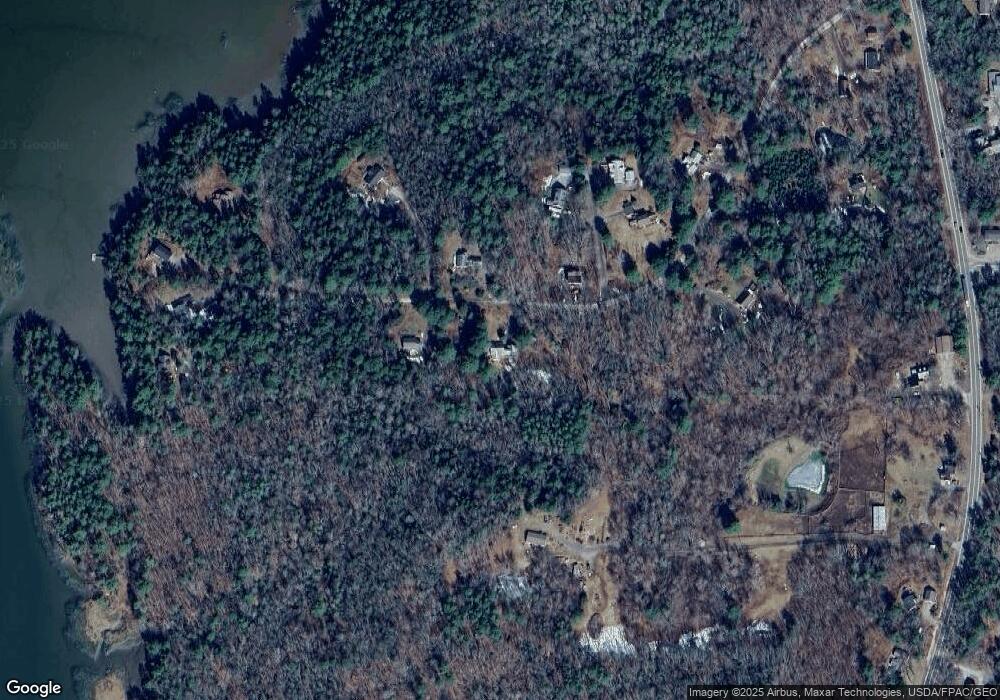
Map
Nearby Homes
- 24 Jason Cir
- 5 Hillside Place Unit 2
- 29 Wiscasset Rd
- 62 Murphy Rd
- 22-E Peaceful Acres
- 576 Back River Rd
- 23 Sunny Acres Ln
- 8 Wawenock Rd
- 8 Country Club Rd
- 50 Bunchberry Ln
- 13 Porcupine Ln
- 664 Boothbay Rd
- 15 Lewis Rd
- 30 Taylor Rd
- P/O Lot 38 River Rd
- 210 Ocean Point Rd
- 239 Ocean Point Rd
- 42 Wawenock Trail
- 0 Boothbay Rd
- 44-4 Windrush Ln
- 74 High Fields
- 75 High Fields Rd
- 0 High Fields
- 86 High Fields Rd
- Lot 30 Wiscasset Rd
- Lot 67-9 Pine Tree Ln
- 67-9 Pine Tree Ln
- 12 Oakwood Ln
- 9 Oakwood Ln
- 41 Donnas Way
- 14 Pine Tree Ln
- 42 High Fields Rd
- 00 Waterfront Rd N
- 17 Oakwood Ln
- 4 Waterfront Rd N
- 2 Waterfront Ln N
- 16 Waterfront Ln N
- 24 Waterfront Ln S
- 0 Donna's Way Unit 1451366
- 25 High Fields Rd
Your Personal Tour Guide
Ask me questions while you tour the home.