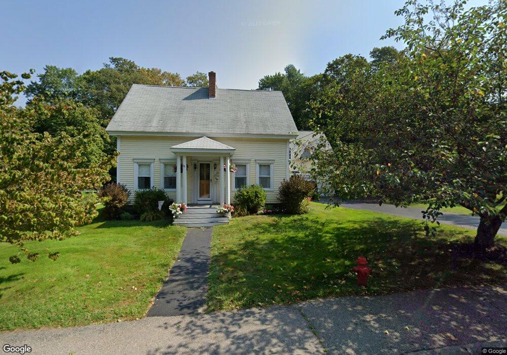
74 Maple St Bellingham, MA 02019
Estimated Value: $581,000 - $675,000
4
Beds
2
Baths
2,435
Sq Ft
$255/Sq Ft
Est. Value
About This Home
This home is located at 74 Maple St, Bellingham, MA 02019 and is currently estimated at $622,067, approximately $255 per square foot. 74 Maple St is a home located in Norfolk County with nearby schools including Stall Brook Elementary School, Bellingham High School, and Bethany Christian Academy.
Ownership History
Date
Name
Owned For
Owner Type
Purchase Details
Closed on
Dec 1, 1993
Sold by
Clancy Barbara
Bought by
Partington Donald E and Partington Kathleen M
Current Estimated Value
Create a Home Valuation Report for This Property
The Home Valuation Report is an in-depth analysis detailing your home's value as well as a comparison with similar homes in the area
Home Values in the Area
Average Home Value in this Area
Purchase History
We collect this data history from publicly available records. To have your information removed, we recommend requesting removal directly through your county’s website.
| Date | Buyer | Sale Price | Title Company |
|---|---|---|---|
| Partington Donald E | $82,000 | -- | |
| Partington Donald E | $82,000 | -- |
Source: Public Records
Mortgage History
We collect this data history from publicly available records. To have your information removed, we recommend requesting removal directly through your county’s website.
| Date | Status | Borrower | Loan Amount |
|---|---|---|---|
| Open | Partington Donald E | $272,000 | |
| Closed | Partington Donald E | $156,000 |
Source: Public Records
Tax History
| Year | Tax Paid | Tax Assessment Tax Assessment Total Assessment is a certain percentage of the fair market value that is determined by local assessors to be the total taxable value of land and additions on the property. | Land | Improvement |
|---|---|---|---|---|
| 2025 | $6,354 | $505,900 | $135,200 | $370,700 |
| 2024 | $6,094 | $473,900 | $123,500 | $350,400 |
| 2023 | $5,870 | $449,800 | $117,600 | $332,200 |
| 2022 | $5,812 | $412,800 | $98,100 | $314,700 |
| 2021 | $5,577 | $387,000 | $98,100 | $288,900 |
| 2020 | $5,418 | $381,000 | $98,100 | $282,900 |
| 2019 | $5,290 | $372,300 | $98,100 | $274,200 |
| 2018 | $5,097 | $353,700 | $98,900 | $254,800 |
| 2017 | $4,934 | $344,100 | $98,900 | $245,200 |
| 2016 | $4,714 | $329,900 | $102,900 | $227,000 |
| 2015 | $4,519 | $317,100 | $98,900 | $218,200 |
| 2014 | $4,512 | $307,800 | $95,500 | $212,300 |
Source: Public Records
Map
Nearby Homes
- 359 Hartford Ave
- 8 Thomas Dr
- 0 Hixon St Unit 73477486
- 394 Village St
- 7 Holbrook St
- 64 Monique Dr
- 354 Maple St
- 201 Caroline Dr
- 95 Lisa Ann Dr
- 7 Maple Brook Ln
- 60 Wethersfield Rd
- 3 Harmony Way Unit 3
- 25 Brookview Rd
- 834-836 W Central St
- 3 Dino Way Unit 3
- 2 Dino Way Unit 52
- 41 Kimberlee Ave
- 44 Black Bear Cir Unit 44
- 42 Black Bear Cir Unit 40
- 40 Black Bear Cir Unit 40
Your Personal Tour Guide
Ask me questions while you tour the home.