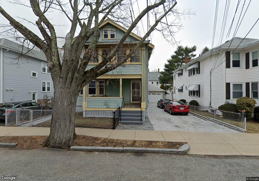
74 Rawson Rd Unit 76 Arlington, MA 02474
East Arlington NeighborhoodEstimated Value: $1,126,000 - $1,262,000
4
Beds
2
Baths
2,592
Sq Ft
$464/Sq Ft
Est. Value
About This Home
This home is located at 74 Rawson Rd Unit 76, Arlington, MA 02474 and is currently estimated at $1,202,213, approximately $463 per square foot. 74 Rawson Rd Unit 76 is a home located in Middlesex County with nearby schools including Thompson School, Ottoson Middle School, and Arlington High School.
Ownership History
Date
Name
Owned For
Owner Type
Purchase Details
Closed on
Nov 3, 2009
Sold by
Harrison Pearline and Scarlett Michael O
Bought by
Scarlett Michael O and Donovan-Scarlett Carol
Current Estimated Value
Purchase Details
Closed on
Sep 2, 1992
Sold by
Capano Gloria and Morine Dorothy
Bought by
Harrison Pearline and Scarlett Michael D
Home Financials for this Owner
Home Financials are based on the most recent Mortgage that was taken out on this home.
Original Mortgage
$155,200
Interest Rate
8.09%
Mortgage Type
Purchase Money Mortgage
Create a Home Valuation Report for This Property
The Home Valuation Report is an in-depth analysis detailing your home's value as well as a comparison with similar homes in the area
Home Values in the Area
Average Home Value in this Area
Purchase History
We collect this data history from publicly available records. To have your information removed, we recommend requesting removal directly through your county’s website.
| Date | Buyer | Sale Price | Title Company |
|---|---|---|---|
| Scarlett Michael O | -- | -- | |
| Harrison Pearline | $194,000 | -- | |
| Harrison Pearline | $194,000 | -- |
Source: Public Records
Mortgage History
We collect this data history from publicly available records. To have your information removed, we recommend requesting removal directly through your county’s website.
| Date | Status | Borrower | Loan Amount |
|---|---|---|---|
| Previous Owner | Harrison Pearline | $155,200 |
Source: Public Records
Tax History
| Year | Tax Paid | Tax Assessment Tax Assessment Total Assessment is a certain percentage of the fair market value that is determined by local assessors to be the total taxable value of land and additions on the property. | Land | Improvement |
|---|---|---|---|---|
| 2025 | $10,599 | $984,100 | $568,800 | $415,300 |
| 2024 | $9,807 | $926,100 | $541,400 | $384,700 |
| 2023 | $9,720 | $867,100 | $453,900 | $413,200 |
| 2022 | $9,673 | $847,000 | $437,500 | $409,500 |
| 2021 | $9,396 | $828,600 | $437,500 | $391,100 |
| 2020 | $9,170 | $829,100 | $437,500 | $391,600 |
| 2019 | $8,679 | $770,800 | $464,900 | $305,900 |
| 2018 | $7,824 | $645,000 | $339,100 | $305,900 |
| 2017 | $7,316 | $582,500 | $295,300 | $287,200 |
| 2016 | $6,897 | $538,800 | $251,600 | $287,200 |
| 2015 | $6,809 | $502,500 | $246,100 | $256,400 |
Source: Public Records
Map
Nearby Homes
- 29 Dartmouth St Unit 29
- 142-144 Mystic Valley Pkwy
- 75 Tufts St
- 48 Palmer St
- 22 Patrick St Unit 22
- 27 Lewis Ave
- 167 Franklin St Unit 167
- 40 Harlow St Unit 42
- 374 Massachusetts Ave Unit 3
- 31 Sharon St
- 17 Sharon St
- 13 Belknap St Unit 13
- 16 Arizona Terrace Unit 2
- 89 Cleveland St Unit 89
- 47 Mystic St Unit 3A
- 122 Sharon St Unit 203
- 71 Mystic St
- 1530 Mystic Valley Pkwy Unit 1
- 16 Mystic Lake Dr
- 78 Webcowet Rd
- 74 Rawson Rd Unit 1
- 78 Rawson Rd Unit 80
- 72 Rawson Rd
- 72 Rawson Rd Unit 1
- 80 Rawson Rd Unit 2
- 80 Rawson Rd
- 80 Rawson Rd Unit 80
- 66 Rawson Rd Unit 68
- 41 Cornell St Unit 2
- 41 Cornell St Unit 1
- 39 Cornell St Unit 41
- 39 Cornell St Unit 1
- 84 Rawson Rd
- 31 Park St
- 40-42 Dartmouth St Unit 40
- 40 Dartmouth St Unit 42
- 47 Park St
- 62 Rawson Rd
- 60 Rawson Rd
- 62 Rawson Rd Unit 2
Your Personal Tour Guide
Ask me questions while you tour the home.