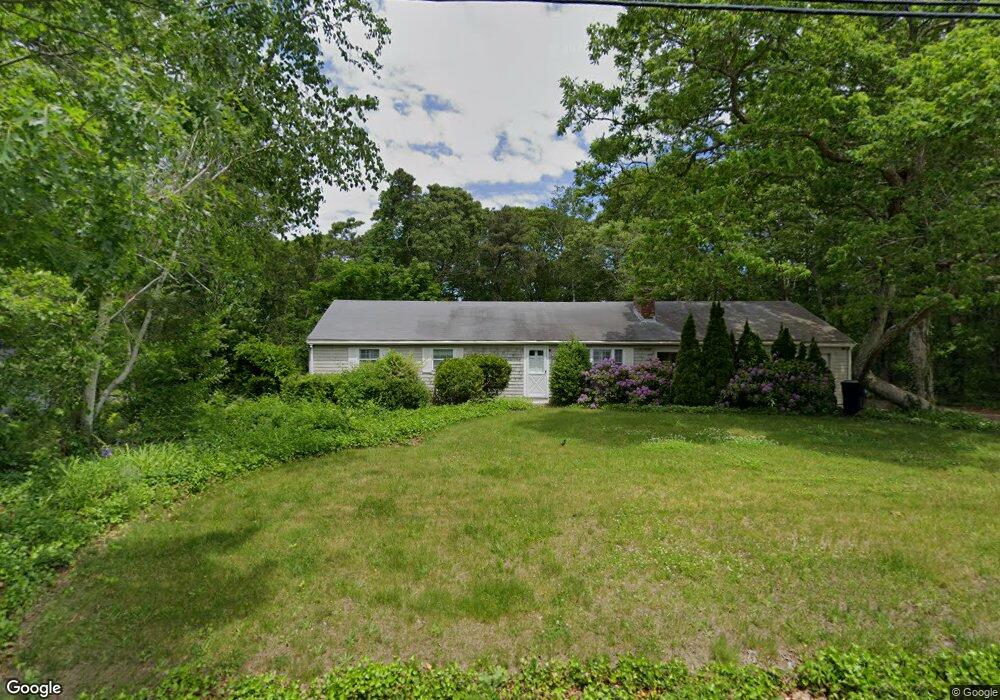
74 Salt Rock Rd Barnstable, MA 02630
Barnstable Village NeighborhoodEstimated Value: $662,403 - $761,000
3
Beds
2
Baths
1,356
Sq Ft
$531/Sq Ft
Est. Value
About This Home
This home is located at 74 Salt Rock Rd, Barnstable, MA 02630 and is currently estimated at $720,101, approximately $531 per square foot. 74 Salt Rock Rd is a home located in Barnstable County with nearby schools including West Barnstable Elementary School, Barnstable United Elementary School, and Barnstable Intermediate School.
Create a Home Valuation Report for This Property
The Home Valuation Report is an in-depth analysis detailing your home's value as well as a comparison with similar homes in the area
Home Values in the Area
Average Home Value in this Area
Tax History
We collect this data history from publicly available records. To have your information removed, we recommend requesting removal directly through your county’s website.
| Year | Tax Paid | Tax Assessment Tax Assessment Total Assessment is a certain percentage of the fair market value that is determined by local assessors to be the total taxable value of land and additions on the property. | Land | Improvement |
|---|---|---|---|---|
| 2025 | $4,918 | $532,200 | $185,400 | $346,800 |
| 2024 | $4,635 | $529,100 | $185,400 | $343,700 |
| 2023 | $4,303 | $479,200 | $183,200 | $296,000 |
| 2022 | $4,343 | $389,200 | $130,300 | $258,900 |
| 2021 | $3,992 | $340,900 | $130,300 | $210,600 |
| 2020 | $4,116 | $335,700 | $130,300 | $205,400 |
| 2019 | $3,794 | $310,500 | $130,300 | $180,200 |
| 2018 | $3,707 | $294,700 | $142,900 | $151,800 |
| 2017 | $3,594 | $287,500 | $142,900 | $144,600 |
| 2016 | $3,536 | $286,800 | $142,200 | $144,600 |
| 2015 | $3,082 | $254,500 | $113,200 | $141,300 |
Source: Public Records
Map
Nearby Homes
- 121 Salt Rock Rd
- 122 Salt Rock Rd
- 284 Braggs Ln
- 417 Commerce Rd
- 88 Acre Hill Rd
- 0 Indian Trail
- 40 Cape Cod Ln
- 30 Indian Trail
- 50 & 0 Indian Trail
- 79 Bayberry Ln
- 55 Tonela Ln
- 170 Althea Dr
- 44 Iris Ln
- 79 Sturgis Ln
- 61 Old Phinneys Ln
- 22 Kent Rd
- 45 Old Phinney's Ln
- 153 Oakmont Dr
- 153 Oakmont Dr
- 2849 Main St
- 62 Salt Rock Rd
- 92 Salt Rock Rd
- 75 Salt Rock Rd
- 50 Salt Rock Rd
- 137 Stonehedge Rd
- 55 Salt Rock Rd
- 97 Salt Rock Rd
- 38 Slate Ln
- 36 Salt Rock Rd
- 39 Salt Rock Rd
- 125 Stonehedge Rd
- 11 White Moor Way
- 106 Cindy Ln
- 110 Salt Rock Rd
- 17 White Moor Way
- 105 Cindy Ln
- 26 Salt Rock Rd
- 25 Salt Rock Rd
- 111 Stonehedge Rd
- 18 Flintrock Rd
Your Personal Tour Guide
Ask me questions while you tour the home.