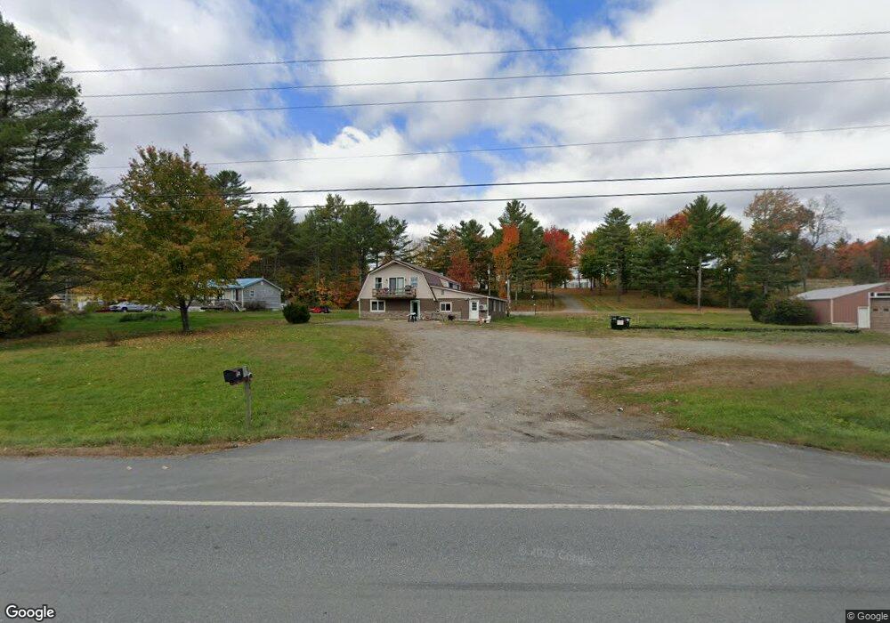
740 Mohawk Rd Lincoln, ME 04457
Estimated Value: $142,000 - $288,000
Studio
--
Bath
--
Sq Ft
195,584
Sq Ft Lot
About This Home
This home is located at 740 Mohawk Rd, Lincoln, ME 04457 and is currently estimated at $237,582. 740 Mohawk Rd is a home with nearby schools including Ella P. Burr School, Mattanawcook Junior High School, and Mattanawcook Academy.
Ownership History
Date
Name
Owned For
Owner Type
Purchase Details
Closed on
Nov 10, 2025
Sold by
St Pierre Fernand and St Pierre Therese
Bought by
Donath Thomas E
Current Estimated Value
Home Financials for this Owner
Home Financials are based on the most recent Mortgage that was taken out on this home.
Original Mortgage
$135,000
Outstanding Balance
$134,617
Interest Rate
6.3%
Mortgage Type
New Conventional
Estimated Equity
$102,965
Purchase Details
Closed on
Feb 9, 2006
Sold by
Mckain Joseph P
Bought by
St Pierre Fernand and St Pierre Therese
Create a Home Valuation Report for This Property
The Home Valuation Report is an in-depth analysis detailing your home's value as well as a comparison with similar homes in the area
Home Values in the Area
Average Home Value in this Area
Purchase History
| Date | Buyer | Sale Price | Title Company |
|---|---|---|---|
| Donath Thomas E | -- | -- | |
| St Pierre Fernand | -- | -- | |
| St Pierre Fernand | -- | -- |
Source: Public Records
Mortgage History
| Date | Status | Borrower | Loan Amount |
|---|---|---|---|
| Open | Donath Thomas E | $135,000 |
Source: Public Records
Tax History
| Year | Tax Paid | Tax Assessment Tax Assessment Total Assessment is a certain percentage of the fair market value that is determined by local assessors to be the total taxable value of land and additions on the property. | Land | Improvement |
|---|---|---|---|---|
| 2025 | $4,218 | $242,400 | $43,000 | $199,400 |
| 2024 | $3,846 | $186,700 | $33,300 | $153,400 |
| 2023 | $3,634 | $141,300 | $23,300 | $118,000 |
| 2022 | $3,109 | $141,300 | $23,300 | $118,000 |
| 2021 | $2,642 | $141,300 | $23,300 | $118,000 |
| 2020 | $2,616 | $121,100 | $22,800 | $98,300 |
| 2019 | $2,797 | $121,100 | $22,800 | $98,300 |
| 2018 | $2,393 | $103,600 | $17,700 | $85,900 |
| 2017 | $2,336 | $103,600 | $17,700 | $85,900 |
| 2016 | $2,314 | $103,600 | $17,700 | $85,900 |
| 2015 | $2,300 | $103,600 | $17,700 | $85,900 |
| 2014 | $2,321 | $103,600 | $17,700 | $85,900 |
| 2013 | $2,264 | $98,600 | $17,700 | $80,900 |
Source: Public Records
Map
Nearby Homes
- Lot #6 Mohawk Rd
- Lot #5 Mohawk Rd
- 1880 Mattamiscontis Rd
- 474 W Broadway
- 442 W Broadway
- 557 Enfield Rd
- 535 Enfield Rd
- 331 Enfield Rd
- 299 Davis Rd
- 296 Millett Mallett Rd
- 186 Transalpine Rd
- 190 Transalpine Rd
- 26 Hale St
- 68 W West Broadway
- Lot 2 Fox Run
- 19 Perry St
- 31 Edwards St
- 49 W Broadway
- 311 Phinney Farm Rd
- 6 Mattanawcook St
Your Personal Tour Guide
Ask me questions while you tour the home.