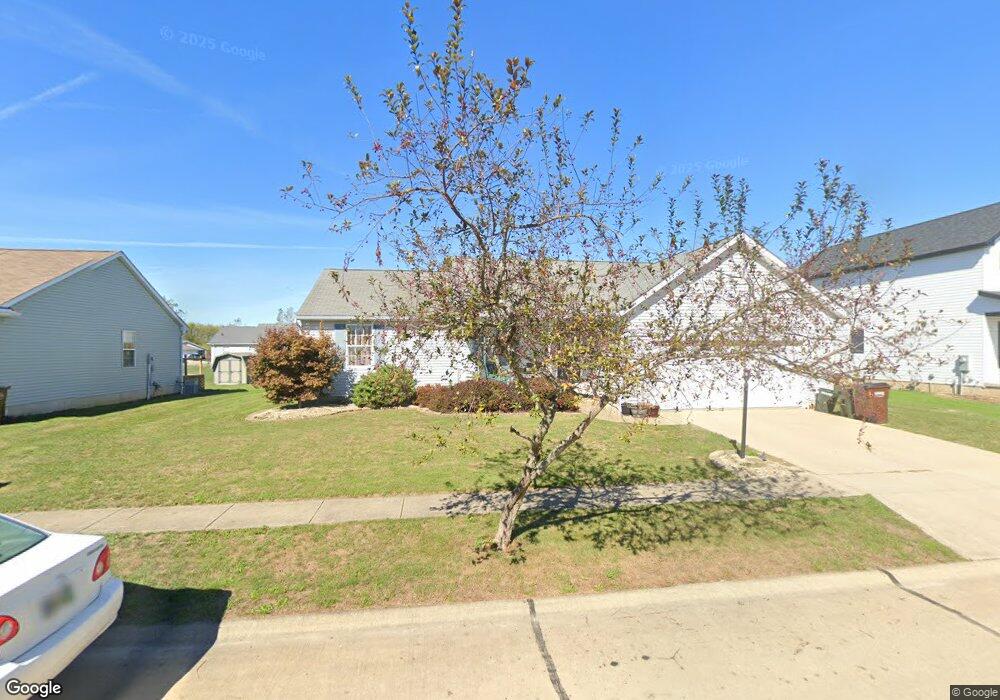
742 Bobcat Dr Lagrange, OH 44050
Estimated Value: $231,201 - $293,000
3
Beds
2
Baths
1,392
Sq Ft
$190/Sq Ft
Est. Value
About This Home
This home is located at 742 Bobcat Dr, Lagrange, OH 44050 and is currently estimated at $264,800, approximately $190 per square foot. 742 Bobcat Dr is a home located in Lorain County with nearby schools including Keystone Elementary School, Keystone Middle School, and Keystone High School.
Ownership History
Date
Name
Owned For
Owner Type
Purchase Details
Closed on
Nov 14, 2025
Sold by
Walker Geoffry
Bought by
Walker Erika J
Current Estimated Value
Purchase Details
Closed on
Mar 7, 2005
Sold by
David Development Inc
Bought by
Walker Geoffrey and Walker Erika J
Home Financials for this Owner
Home Financials are based on the most recent Mortgage that was taken out on this home.
Original Mortgage
$151,501
Interest Rate
5.71%
Mortgage Type
Construction
Create a Home Valuation Report for This Property
The Home Valuation Report is an in-depth analysis detailing your home's value as well as a comparison with similar homes in the area
Home Values in the Area
Average Home Value in this Area
Purchase History
| Date | Buyer | Sale Price | Title Company |
|---|---|---|---|
| Walker Erika J | -- | None Listed On Document | |
| Walker Geoffrey | $31,900 | Landamerica Lawyers Title |
Source: Public Records
Mortgage History
| Date | Status | Borrower | Loan Amount |
|---|---|---|---|
| Previous Owner | Walker Geoffrey | $151,501 |
Source: Public Records
Tax History
| Year | Tax Paid | Tax Assessment Tax Assessment Total Assessment is a certain percentage of the fair market value that is determined by local assessors to be the total taxable value of land and additions on the property. | Land | Improvement |
|---|---|---|---|---|
| 2024 | $3,232 | $71,180 | $12,425 | $58,755 |
| 2023 | $2,979 | $54,383 | $12,012 | $42,371 |
| 2022 | $2,959 | $54,383 | $12,012 | $42,371 |
| 2021 | $2,959 | $54,383 | $12,012 | $42,371 |
| 2020 | $2,905 | $47,540 | $10,500 | $37,040 |
| 2019 | $2,889 | $47,540 | $10,500 | $37,040 |
| 2018 | $2,436 | $47,540 | $10,500 | $37,040 |
| 2017 | $2,350 | $41,470 | $7,810 | $33,660 |
| 2016 | $2,333 | $41,470 | $7,810 | $33,660 |
| 2015 | $2,329 | $41,470 | $7,810 | $33,660 |
| 2014 | $1,820 | $37,190 | $7,000 | $30,190 |
| 2013 | $1,763 | $37,190 | $7,000 | $30,190 |
Source: Public Records
Map
Nearby Homes
- 704 Black Bear Run
- 46 Perch Ct
- 42113 Meadow Ln
- 479 Stallion Ct
- 476 Stallion Ct
- 468 Stallion Ct
- 510 Arabian Ct
- 0 West Rd Unit 5125531
- 43311 Peck Wadsworth Rd
- 0 Whitehead Rd
- 20630 State Route 301
- 43902 State Route 303
- 305 W Main St
- 110 Railroad St
- 40260 Whitney Rd
- 516 Appomattox Ct
- 548 William St
- 0 Ohio 301
- 19720 Ohio 58 Unit 24
- 19720 Ohio 58 Unit 11
- 741 Bobcat Dr
- 753 Timber Wolf Ln
- 0 Bobcat Dr Unit 4011839
- 0 Bobcat Dr Unit 4011838
- 0 Bobcat Dr Unit 4011753
- 0 Bobcat Dr Unit 4011750
- 0 Bobcat Dr Unit 4011837
- 754 Timber Wolf Ln
- 752 Timber Wolf Ln
- 744 Bobcat Dr
- 737 Bobcat Dr
- 738 Bobcat Dr
- 751 Timber Wolf Ln
- 755 Timber Wolf Ln
- 745 Bobcat Dr
- 735 Bobcat Dr
- VL Bobcat Dr
- V/L Bobcat Dr
- 657 Timber Wolf Ln
- 750 Timber Wolf Ln
Your Personal Tour Guide
Ask me questions while you tour the home.