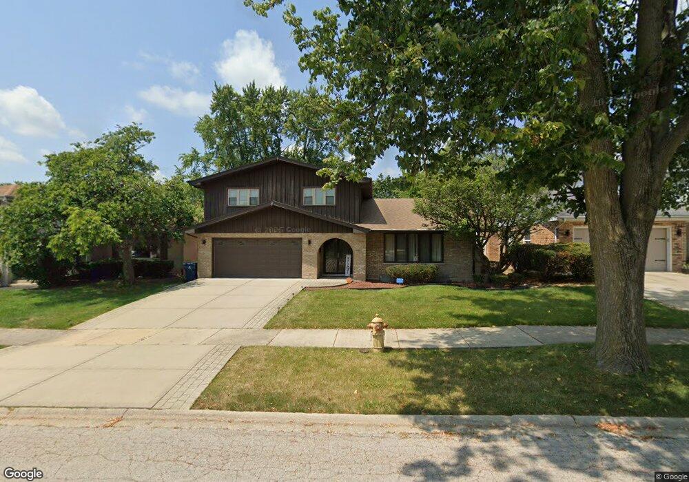
742 Violet Ln Matteson, IL 60443
Old Matteson NeighborhoodEstimated Value: $265,000 - $306,000
4
Beds
2
Baths
1,728
Sq Ft
$162/Sq Ft
Est. Value
About This Home
This home is located at 742 Violet Ln, Matteson, IL 60443 and is currently estimated at $279,306, approximately $161 per square foot. 742 Violet Ln is a home located in Cook County with nearby schools including Illinois School, Arcadia Elementary School, and Indiana Elementary School.
Ownership History
Date
Name
Owned For
Owner Type
Purchase Details
Closed on
Jul 31, 2006
Sold by
Billingsley William and Billingsley Lela J
Bought by
Satchell Andre and Satchell Trina
Current Estimated Value
Create a Home Valuation Report for This Property
The Home Valuation Report is an in-depth analysis detailing your home's value as well as a comparison with similar homes in the area
Home Values in the Area
Average Home Value in this Area
Purchase History
We collect this data history from publicly available records. To have your information removed, we recommend requesting removal directly through your county’s website.
| Date | Buyer | Sale Price | Title Company |
|---|---|---|---|
| Satchell Andre | $235,000 | None Available |
Source: Public Records
Tax History
| Year | Tax Paid | Tax Assessment Tax Assessment Total Assessment is a certain percentage of the fair market value that is determined by local assessors to be the total taxable value of land and additions on the property. | Land | Improvement |
|---|---|---|---|---|
| 2025 | $8,136 | $23,000 | $3,000 | $20,000 |
| 2024 | $8,136 | $23,000 | $3,000 | $20,000 |
| 2023 | $5,474 | $23,000 | $3,000 | $20,000 |
| 2022 | $5,474 | $13,512 | $2,625 | $10,887 |
| 2021 | $5,599 | $13,511 | $2,625 | $10,886 |
| 2020 | $5,301 | $13,511 | $2,625 | $10,886 |
| 2019 | $5,747 | $14,533 | $2,437 | $12,096 |
| 2018 | $6,224 | $15,463 | $2,437 | $13,026 |
| 2017 | $6,005 | $15,463 | $2,437 | $13,026 |
| 2016 | $6,536 | $13,292 | $2,250 | $11,042 |
| 2015 | $6,479 | $13,292 | $2,250 | $11,042 |
| 2014 | $6,276 | $13,292 | $2,250 | $11,042 |
| 2013 | $6,006 | $13,914 | $2,250 | $11,664 |
Source: Public Records
Map
Nearby Homes
- 831 Violet Ln
- 4110 Applewood Ln
- 4242 Pinewood Ln
- 20520 Crawford Ave
- 888 Woodstock Rd
- 20920 Governors Hwy
- 4325 Oakwood Ln
- 739 Kostner Ave
- 30 Strauss Ln
- 722 Kostner Ave
- 4012 204th St
- 847 College Ave
- 20535 Marathon Ct
- 21142 Locust St
- 20436 Arcadian Dr
- 3802 213th Place
- 4613 Lindenwood Ct
- 21406 S Jean Ave
- 4500 203rd St
- 154 Sundance Rd
- 736 Violet Ln
- 746 Violet Ln
- 741 Carnation Ln
- 730 Violet Ln
- 800 Violet Ln
- 745 Carnation Ln
- 4025 Violet Ln
- 739 Carnation Ln
- 805 Carnation Ln
- 739 Violet Ln Unit 2
- 745 Violet Ln
- 735 Violet Ln
- 809 Carnation Ln
- 749 Violet Ln
- 4031 Violet Ln
- 808 Violet Ln
- 731 Violet Ln
- 803 Violet Ln
- 737 Carnation Ln
- 4037 Violet Ln
Your Personal Tour Guide
Ask me questions while you tour the home.