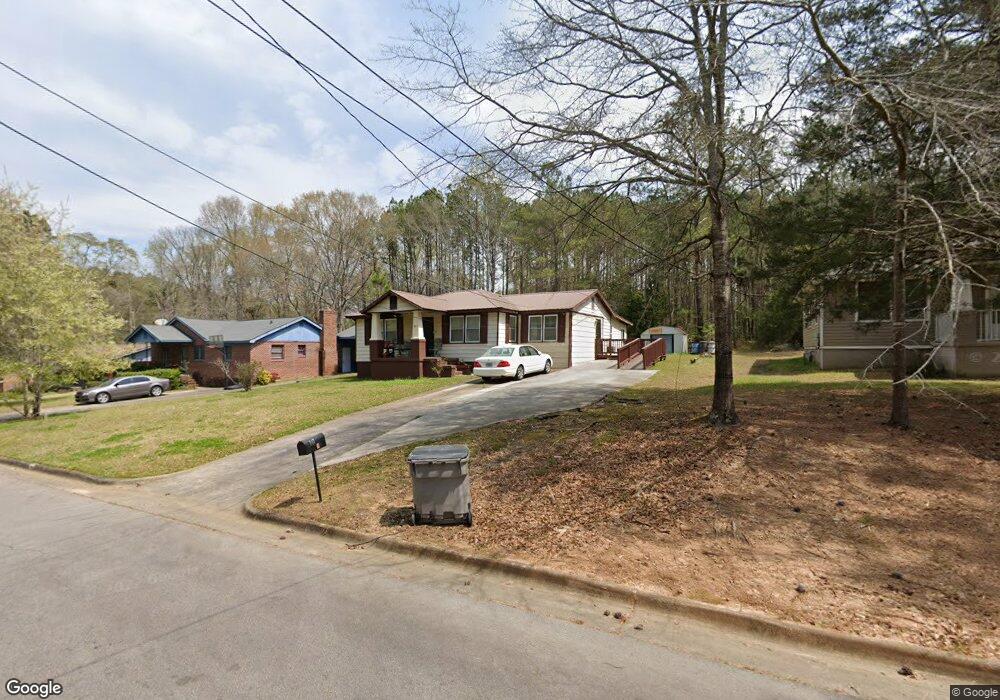
743 Matthews St Lagrange, GA 30241
Estimated Value: $150,000 - $185,000
3
Beds
2
Baths
1,888
Sq Ft
$91/Sq Ft
Est. Value
About This Home
This home is located at 743 Matthews St, Lagrange, GA 30241 and is currently estimated at $171,203, approximately $90 per square foot. 743 Matthews St is a home located in Troup County with nearby schools including Callaway Elementary School, Hogansville Elementary School, and Callaway Middle School.
Ownership History
Date
Name
Owned For
Owner Type
Purchase Details
Closed on
Aug 12, 2024
Sold by
Dowell Leroy
Bought by
Persons Rufus
Current Estimated Value
Purchase Details
Closed on
Apr 26, 2002
Sold by
Leroy Dowell
Bought by
Dowell Leroy and Dowell Martha
Purchase Details
Closed on
Nov 4, 1997
Sold by
Martha Dowell
Bought by
Leroy Dowell
Purchase Details
Closed on
Dec 19, 1972
Sold by
Matthews Florence
Bought by
Martha Dowell
Purchase Details
Closed on
Feb 1, 1959
Bought by
Matthews Florence
Create a Home Valuation Report for This Property
The Home Valuation Report is an in-depth analysis detailing your home's value as well as a comparison with similar homes in the area
Purchase History
| Date | Buyer | Sale Price | Title Company |
|---|---|---|---|
| Persons Rufus | -- | -- | |
| Dowell Leroy | -- | -- | |
| Leroy Dowell | -- | -- | |
| Martha Dowell | $9,500 | -- | |
| Matthews Florence | -- | -- |
Source: Public Records
Tax History
| Year | Tax Paid | Tax Assessment Tax Assessment Total Assessment is a certain percentage of the fair market value that is determined by local assessors to be the total taxable value of land and additions on the property. | Land | Improvement |
|---|---|---|---|---|
| 2025 | $777 | $39,012 | $4,200 | $34,812 |
| 2024 | $747 | $37,340 | $4,200 | $33,140 |
| 2023 | $662 | $34,224 | $4,200 | $30,024 |
| 2022 | $597 | $31,344 | $4,200 | $27,144 |
| 2021 | $492 | $26,252 | $4,200 | $22,052 |
| 2020 | $492 | $26,252 | $4,200 | $22,052 |
| 2019 | $459 | $25,156 | $4,500 | $20,656 |
| 2018 | $459 | $25,156 | $4,500 | $20,656 |
| 2017 | $459 | $25,156 | $4,500 | $20,656 |
| 2016 | $450 | $24,830 | $4,500 | $20,330 |
| 2015 | $444 | $24,566 | $4,236 | $20,330 |
| 2014 | $412 | $23,496 | $4,236 | $19,260 |
| 2013 | -- | $24,240 | $4,236 | $20,004 |
Source: Public Records
Map
Nearby Homes
- 0 Kelley St Unit 10550311
- 957 Kelley St
- 1017 Mason St
- 0 Mason St Unit E102667
- 626 Smoot St
- 510 Smoot St
- 428 Macon St
- 0 Brown St Unit 10550761
- 0 Brown St Unit 10550754
- 137 Edgewood Ave
- LOT 15 Edgewood Ave
- 114 Edgewood Ave
- 459 Merrywood Dr
- 200 Mccall St
- 0 E Fendig St
- 113 E Fendig St
- 203 Revis St
- 205 Revis St
- 901 Whiteline St
- 0 Burr St
- 739 Matthews St
- 745 Matthews St
- 737 Matthews St
- 730 Matthews St
- 749 Matthews St
- 735 Matthews St
- 736 Matthews St
- 736 Matthews St Unit A
- 748 Matthews St
- 738 Matthews St
- 751 Matthews St
- 752 Matthews St
- 753 Matthews St
- 709 Colquitt St
- 747 Glenn Robertson Dr
- 715 Colquitt St
- 717 Colquitt St
- 713 Colquitt St
- 113 Dora St
- 719 Colquitt St
Your Personal Tour Guide
Ask me questions while you tour the home.