743 Redding Rd Redding, CT 06896
Estimated Value: $924,022 - $1,106,000
About This Home
This home is located at 743 Redding Rd, Redding, CT 06896 and is currently estimated at $1,049,006, approximately $343 per square foot. 743 Redding Rd is a home located in Fairfield County with nearby schools including Redding Elementary School, John Read Middle School, and Joel Barlow High School.
Ownership History
We collect this data history from publicly available records. To have your information removed, we recommend requesting removal directly through your county’s website.
Purchase Details
Purchase Details
Home Financials for this Owner
Home Financials are based on the most recent Mortgage that was taken out on this home.Purchase Details
Home Financials for this Owner
Home Financials are based on the most recent Mortgage that was taken out on this home.Home Values in the Area
Average Home Value in this Area
Purchase History
We collect this data history from publicly available records. To have your information removed, we recommend requesting removal directly through your county’s website.
| Date | Buyer | Sale Price | Title Company |
|---|---|---|---|
| -- | None Available | ||
| $330,000 | -- | ||
| $189,000 | -- |
Mortgage History
We collect this data history from publicly available records. To have your information removed, we recommend requesting removal directly through your county’s website.
| Date | Status | Borrower | Loan Amount |
|---|---|---|---|
| Previous Owner | $45,000 | ||
| Previous Owner | $115,000 | ||
| Previous Owner | $115,000 | ||
| Previous Owner | $151,200 |
Tax History
We collect this data history from publicly available records. To have your information removed, we recommend requesting removal directly through your county’s website.
| Year | Tax Paid | Tax Assessment Tax Assessment Total Assessment is a certain percentage of the fair market value that is determined by local assessors to be the total taxable value of land and additions on the property. | Land | Improvement |
|---|---|---|---|---|
| 2025 | $13,984 | $473,400 | $144,800 | $328,600 |
| 2024 | $13,596 | $473,400 | $144,800 | $328,600 |
| 2023 | $13,108 | $473,400 | $144,800 | $328,600 |
| 2022 | $13,156 | $394,600 | $156,000 | $238,600 |
| 2021 | $12,959 | $394,600 | $156,000 | $238,600 |
| 2020 | $7,763 | $394,600 | $156,000 | $238,600 |
| 2019 | $7,816 | $394,600 | $156,000 | $238,600 |
| 2018 | $12,517 | $394,600 | $156,000 | $238,600 |
| 2017 | $11,054 | $373,200 | $156,400 | $216,800 |
| 2016 | $10,912 | $373,200 | $156,400 | $216,800 |
| 2015 | $10,789 | $373,200 | $156,400 | $216,800 |
| 2014 | $10,789 | $373,200 | $156,400 | $216,800 |
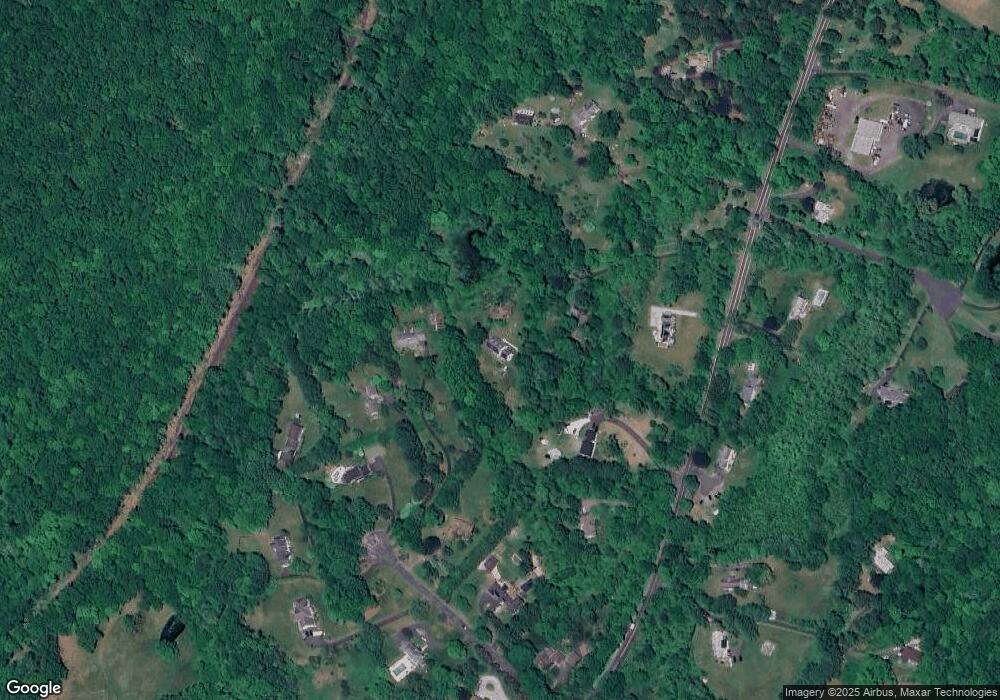
Map
- 10 Chapman Place
- 37 Lamppost Dr
- 35 Deer Spring Rd
- 4 Long Ridge Rd
- 24 Costa Ln
- 313 Umpawaug Rd
- 172 Gallows Hill Rd
- 127 Limekiln Rd
- 134 Nashville Rd
- 74 George Hull Hill Rd
- 155 Long Ridge Rd
- 15 Wicks Manor Dr
- 8 Church Camp Ground
- 65 Nashville Road Extension
- 268 Umpawaug Rd
- 27 Nashville Road Extension
- 5 Musket Ln
- 121 Picketts Ridge Rd
- 97 Nashville Rd
- 9 Pleasant Rise
- 741 Redding Rd
- 11 Chapman Place
- 727 Redding Rd
- 739 Redding Rd
- 97 Turkey Plain Rd
- 13 Chapman Place
- 729 Redding Rd
- 9 Chapman Place
- 732 Redding Rd
- 95 Turkey Plain Rd
- 15 Chapman Place
- 5 Chapman Place
- 724 Redding Rd
- 736 Redding Rd
- 14 Chapman Place
- 1 Chapman Place
- 742 Redding Rd
- 722 Redding Rd
- 91 Turkey Plain Rd
- 2 Bald Rock Rd
Ask me questions while you tour the home.