7436 Harrison Rd Battle Ground, IN 47920
Estimated Value: $450,000 - $526,830
Studio
--
Bath
3,576
Sq Ft
$134/Sq Ft
Est. Value
About This Home
This home is located at 7436 Harrison Rd, Battle Ground, IN 47920 and is currently estimated at $478,208, approximately $133 per square foot. 7436 Harrison Rd is a home located in Tippecanoe County with nearby schools including Battle Ground Elementary School, Battle Ground Middle School, and William Henry Harrison High School.
Ownership History
Date
Name
Owned For
Owner Type
Purchase Details
Closed on
Apr 3, 2014
Sold by
Peterson Family Trust
Bought by
Peterson Dennis C
Current Estimated Value
Purchase Details
Closed on
Feb 13, 2014
Sold by
Peterson Family Trust
Bought by
Peterson Dennis C
Purchase Details
Closed on
Oct 7, 2013
Sold by
Peterson Trust
Bought by
Peterson Dennis C
Purchase Details
Closed on
Jun 15, 2011
Sold by
Peterson David R
Bought by
Peterson Dennis C
Purchase Details
Closed on
Nov 13, 2009
Sold by
Peterson David R
Bought by
Peterson David R and The Peterson Family Revocable Trust
Purchase Details
Closed on
Jun 3, 2008
Sold by
Thor Valley Farms Llc
Bought by
Peterson David R and The Peterson Family Revocable Trust
Purchase Details
Closed on
Apr 18, 2001
Sold by
Peterson Pauline L
Bought by
Thor Valley Farms Llc
Create a Home Valuation Report for This Property
The Home Valuation Report is an in-depth analysis detailing your home's value as well as a comparison with similar homes in the area
Purchase History
| Date | Buyer | Sale Price | Title Company |
|---|---|---|---|
| Peterson Dennis C | -- | -- | |
| Peterson Dennis C | -- | -- | |
| Peterson Dennis C | -- | -- | |
| Peterson Dennis C | -- | None Available | |
| Peterson David R | -- | None Available | |
| Peterson David R | -- | None Available | |
| Thor Valley Farms Llc | -- | -- |
Source: Public Records
Tax History
| Year | Tax Paid | Tax Assessment Tax Assessment Total Assessment is a certain percentage of the fair market value that is determined by local assessors to be the total taxable value of land and additions on the property. | Land | Improvement |
|---|---|---|---|---|
| 2025 | $2,772 | $447,100 | $108,800 | $338,300 |
| 2024 | $2,772 | $392,800 | $33,800 | $359,000 |
| 2023 | $2,554 | $369,200 | $33,800 | $335,400 |
| 2022 | $2,493 | $326,500 | $33,800 | $292,700 |
| 2021 | $2,477 | $322,800 | $33,800 | $289,000 |
| 2020 | $2,145 | $297,000 | $33,800 | $263,200 |
| 2019 | $2,049 | $287,200 | $33,800 | $253,400 |
| 2018 | $1,924 | $277,100 | $33,800 | $243,300 |
| 2017 | $1,873 | $267,800 | $33,800 | $234,000 |
| 2016 | $1,812 | $262,900 | $33,800 | $229,100 |
| 2014 | $1,545 | $227,600 | $52,000 | $175,600 |
| 2013 | $1,595 | $224,200 | $52,000 | $172,200 |
Source: Public Records
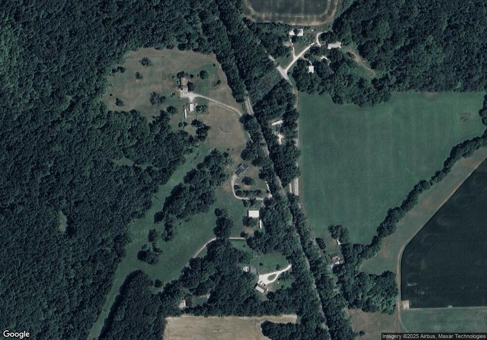
Map
Nearby Homes
- 7319 N 300 E
- 215 Jefferson St
- 102 High School Ave
- 1578 W Herring Way Rd
- 206 S Railroad St
- 2506 Indiana 225
- 2506 State Road 225 E
- 3931 Antioch Ln
- 6269 Munsee Dr
- 6203 Munsee Dr
- 2499 Taino Dr
- 6260 Musket Way
- 2501 Musket Way
- 5144 Greenview Ct
- 6124 Naschette Pkwy
- 9120 Herring Ln
- 9170 Herring Ln
- 5335 Stair Rd
- 7201 Indian Mound Trail
- 7311 Abby Marle W
Your Personal Tour Guide
Ask me questions while you tour the home.