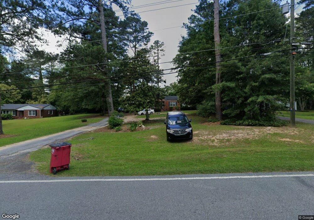
744 Wimbish Rd Macon, GA 31210
Estimated Value: $151,000 - $176,523
3
Beds
2
Baths
1,490
Sq Ft
$113/Sq Ft
Est. Value
About This Home
This home is located at 744 Wimbish Rd, Macon, GA 31210 and is currently estimated at $168,881, approximately $113 per square foot. 744 Wimbish Rd is a home located in Bibb County with nearby schools including Lane Elementary School, Howard Middle School, and Howard High School.
Ownership History
Date
Name
Owned For
Owner Type
Purchase Details
Closed on
May 12, 2006
Sold by
Walker Metomi and Walker Shawn
Bought by
Grant Linda
Current Estimated Value
Home Financials for this Owner
Home Financials are based on the most recent Mortgage that was taken out on this home.
Original Mortgage
$81,700
Outstanding Balance
$47,069
Interest Rate
6.5%
Mortgage Type
Adjustable Rate Mortgage/ARM
Estimated Equity
$121,812
Purchase Details
Closed on
Apr 28, 2000
Purchase Details
Closed on
Feb 24, 1999
Create a Home Valuation Report for This Property
The Home Valuation Report is an in-depth analysis detailing your home's value as well as a comparison with similar homes in the area
Purchase History
| Date | Buyer | Sale Price | Title Company |
|---|---|---|---|
| Grant Linda | $86,000 | None Available | |
| -- | $79,100 | -- | |
| -- | $72,000 | -- |
Source: Public Records
Mortgage History
| Date | Status | Borrower | Loan Amount |
|---|---|---|---|
| Open | Grant Linda | $81,700 |
Source: Public Records
Tax History
| Year | Tax Paid | Tax Assessment Tax Assessment Total Assessment is a certain percentage of the fair market value that is determined by local assessors to be the total taxable value of land and additions on the property. | Land | Improvement |
|---|---|---|---|---|
| 2025 | $911 | $50,041 | $14,040 | $36,001 |
| 2024 | $1,070 | $49,134 | $14,040 | $35,094 |
| 2023 | $498 | $44,598 | $14,040 | $30,558 |
| 2022 | $1,125 | $39,497 | $7,143 | $32,354 |
| 2021 | $1,031 | $34,125 | $6,593 | $27,532 |
| 2020 | $1,053 | $34,125 | $6,593 | $27,532 |
| 2019 | $1,062 | $34,125 | $6,593 | $27,532 |
| 2018 | $1,806 | $34,125 | $6,593 | $27,532 |
| 2017 | $1,016 | $34,125 | $6,593 | $27,532 |
| 2016 | $938 | $34,125 | $6,593 | $27,532 |
| 2015 | $1,329 | $34,125 | $6,593 | $27,532 |
| 2014 | $1,579 | $34,125 | $6,593 | $27,532 |
Source: Public Records
Map
Nearby Homes
- 770 Windsor Rd
- 790 Wimbish Rd
- 610 Chastain Place
- 715 Gay Dr
- 810 Willow Creek Dr Unit 810
- 805 Dogwood Cir
- 726 Willow Creek Dr
- 654 Willow Creek Dr
- 2969 Victoria Cir
- 567 Glencove Dr
- 615 Willow Creek Dr
- 603 Willow Creek Dr
- 2945 Crestline Dr
- 829 Edward Place
- 835 Old Lundy Rd
- 840 Balim Ct
- 125 N Laura Ann Ct
- 623 Walton Way
- 122 Lundy Ct
- 2927 Thornwood Dr
- 740 Wimbish Rd
- 748 Wimbish Rd
- 749 Blanton Blvd
- 745 Blanton Blvd
- 736 Wimbish Rd
- 752 Wimbish Rd
- 741 Blanton Blvd
- 745 Wimbish Rd
- 751 Wimbish Rd
- 737 Wimbish Rd
- 757 Blanton Blvd
- 732 Wimbish Rd
- 737 Blanton Blvd
- 758 Wimbish Rd
- 757 Wimbish Rd
- 748 Blanton Blvd
- 733 Wimbish Rd
- 744 Blanton Blvd
- 728 Wimbish Rd
- 754 Blanton Blvd
Your Personal Tour Guide
Ask me questions while you tour the home.