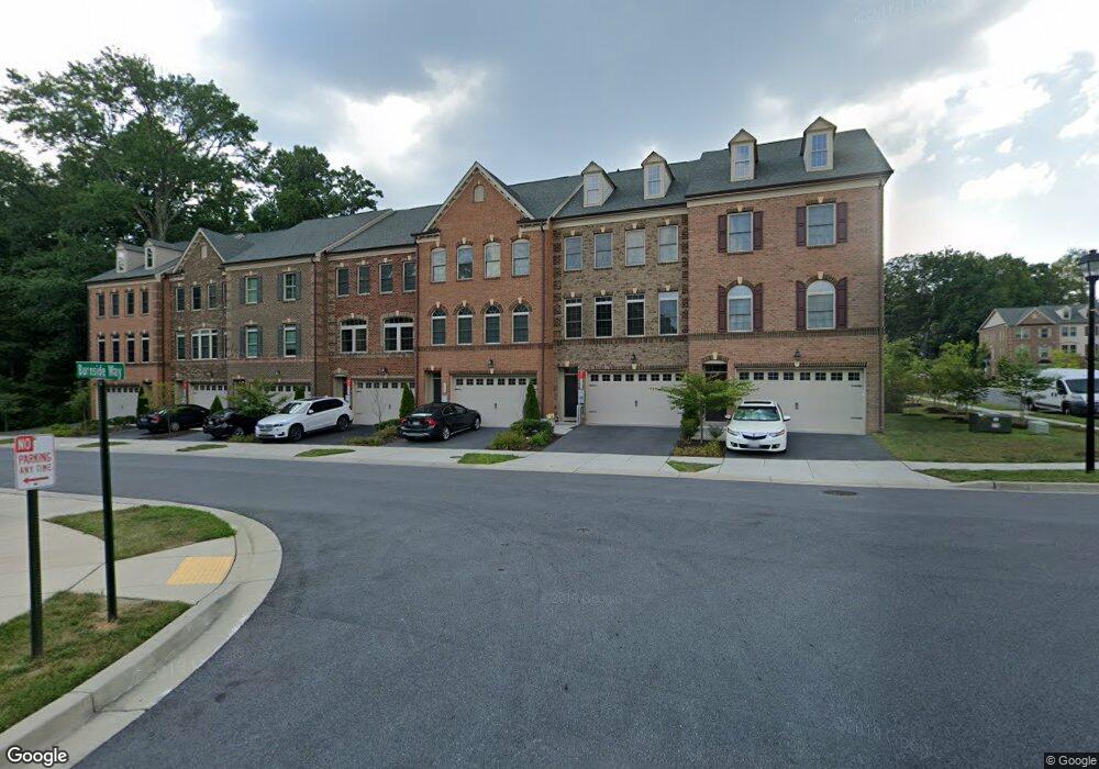
7446 Burnside Way Hanover, MD 21076
Estimated Value: $601,000 - $655,000
Studio
2
Baths
2,940
Sq Ft
$213/Sq Ft
Est. Value
About This Home
This home is located at 7446 Burnside Way, Hanover, MD 21076 and is currently estimated at $626,932, approximately $213 per square foot. 7446 Burnside Way is a home located in Anne Arundel County with nearby schools including Meade Heights Elementary School, MacArthur Middle School, and Meade High School.
Ownership History
Date
Name
Owned For
Owner Type
Purchase Details
Closed on
Apr 23, 2015
Sold by
Nvr Inc
Bought by
Wilson Shelby V and Bell Wilson Leakie
Current Estimated Value
Home Financials for this Owner
Home Financials are based on the most recent Mortgage that was taken out on this home.
Original Mortgage
$485,959
Outstanding Balance
$369,001
Interest Rate
3.37%
Mortgage Type
VA
Estimated Equity
$257,931
Purchase Details
Closed on
Dec 11, 2014
Sold by
B & S Eggerl Llc
Bought by
Nvr Inc
Create a Home Valuation Report for This Property
The Home Valuation Report is an in-depth analysis detailing your home's value as well as a comparison with similar homes in the area
Home Values in the Area
Average Home Value in this Area
Purchase History
| Date | Buyer | Sale Price | Title Company |
|---|---|---|---|
| Wilson Shelby V | $470,435 | Stewart Title Guaranty Co | |
| Nvr Inc | $1,039,163 | North American Title Company |
Source: Public Records
Mortgage History
| Date | Status | Borrower | Loan Amount |
|---|---|---|---|
| Open | Wilson Shelby V | $485,959 |
Source: Public Records
Tax History
| Year | Tax Paid | Tax Assessment Tax Assessment Total Assessment is a certain percentage of the fair market value that is determined by local assessors to be the total taxable value of land and additions on the property. | Land | Improvement |
|---|---|---|---|---|
| 2025 | $5,459 | $547,600 | $155,000 | $392,600 |
| 2024 | $5,459 | $514,767 | $0 | $0 |
| 2023 | $4,867 | $481,933 | $0 | $0 |
| 2022 | $4,929 | $449,100 | $135,000 | $314,100 |
| 2020 | $4,732 | $449,100 | $135,000 | $314,100 |
| 2019 | $4,677 | $463,600 | $140,000 | $323,600 |
| 2018 | $4,464 | $440,233 | $0 | $0 |
| 2017 | $567 | $416,867 | $0 | $0 |
| 2016 | -- | $393,500 | $0 | $0 |
| 2015 | -- | $32,667 | $0 | $0 |
| 2014 | -- | $26,833 | $0 | $0 |
Source: Public Records
Map
Nearby Homes
- 2606 Fiat Dr
- 2784 Fredericksburg Rd
- 7839 Patterson Way
- 2910 Glendale Ave
- 2932 Hebron Ln
- 2816 Brewers Crossing Way
- 2914 Middleham Ct
- 3006 Frayser Farm Rd
- 2854 Brewers Crossing Way Unit 1
- 3462 Jacobs Ford Way
- 2007 Twisted Oak Place
- 2005 Twisted Oak Place
- 2003 Twisted Oak Place
- 7838 Mine Run Rd
- 7904 Brandy Station Rd
- 3724 Valley Ford Way
- 7911 Mine Run Rd
- 8221 Meadowood Dr
- 8058 Big Roundtop Rd
- 3927 Small Roundtop Rd
- 7444 Burnside Way
- 7450 Burnside Way
- 7442 Burnside Way
- 7448 Burnside Way
- 7454 Burnside Way
- 7452 Burnside Way
- 7429 Skirmish Dr
- 7433 Skirmish Dr
- 7449 Burnside Way
- 2534 Rolling Forest Dr
- 7445 Burnside Way
- 7447 Burnside Way
- 2536 Rolling Forest Dr
- 7537 Pelham Way
- 2527 Rolling Forest Dr
- 7451 Burnside Way
- 7453 Burnside Way
- 7533 Pelham Way
- 7531 Pelham Way
- 7541 Pelham Way
Your Personal Tour Guide
Ask me questions while you tour the home.