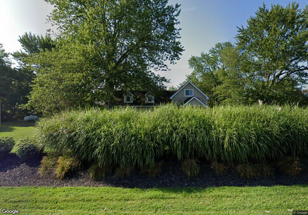
7491 Calhoun Rd Ostrander, OH 43061
Concord NeighborhoodEstimated Value: $420,000 - $597,000
About This Home
This home is located at 7491 Calhoun Rd, Ostrander, OH 43061 and is currently estimated at $517,276, approximately $376 per square foot. 7491 Calhoun Rd is a home located in Delaware County with nearby schools including Buckeye Valley High School.
Ownership History
We collect this data history from publicly available records. To have your information removed, we recommend requesting removal directly through your county’s website.
Purchase Details
Home Financials for this Owner
Home Financials are based on the most recent Mortgage that was taken out on this home.Purchase Details
Home Financials for this Owner
Home Financials are based on the most recent Mortgage that was taken out on this home.Purchase Details
Home Financials for this Owner
Home Financials are based on the most recent Mortgage that was taken out on this home.Purchase Details
Home Values in the Area
Average Home Value in this Area
Purchase History
We collect this data history from publicly available records. To have your information removed, we recommend requesting removal directly through your county’s website.
| Date | Buyer | Sale Price | Title Company |
|---|---|---|---|
| $109,900 | Chicago Title | ||
| -- | None Available | ||
| $105,000 | Crown Title | ||
| $36,000 | -- |
Mortgage History
We collect this data history from publicly available records. To have your information removed, we recommend requesting removal directly through your county’s website.
| Date | Status | Borrower | Loan Amount |
|---|---|---|---|
| Open | $220,000 | ||
| Previous Owner | $95,000 |
Tax History
We collect this data history from publicly available records. To have your information removed, we recommend requesting removal directly through your county’s website.
| Year | Tax Paid | Tax Assessment Tax Assessment Total Assessment is a certain percentage of the fair market value that is determined by local assessors to be the total taxable value of land and additions on the property. | Land | Improvement |
|---|---|---|---|---|
| 2025 | $4,662 | $137,870 | $27,580 | $110,290 |
| 2024 | $4,578 | $137,870 | $27,580 | $110,290 |
| 2023 | $4,577 | $137,870 | $27,580 | $110,290 |
| 2022 | $3,504 | $93,910 | $19,390 | $74,520 |
| 2021 | $3,410 | $93,910 | $19,390 | $74,520 |
| 2020 | $3,430 | $93,910 | $19,390 | $74,520 |
| 2019 | $3,262 | $81,450 | $14,910 | $66,540 |
| 2018 | $3,322 | $81,450 | $14,910 | $66,540 |
| 2017 | $3,077 | $76,270 | $12,530 | $63,740 |
| 2016 | $2,928 | $76,270 | $12,530 | $63,740 |
| 2015 | $3,091 | $76,270 | $12,530 | $63,740 |
| 2014 | $2,905 | $76,270 | $12,530 | $63,740 |
| 2013 | $2,757 | $69,650 | $12,530 | $57,120 |
Map
- 0 E High St Unit Tract 1 225034753
- 0 E High St Unit Tract 4 225034758
- 303 Ben Curtis Dr
- 325 Long Trail
- 8960 Mills Rd
- 112 Highview Ct
- 3480 Ostrander Rd
- 4910 State Route 257 S
- 0 Brown Rd Unit 226018803
- 0 Brown Rd Unit 226018806
- 0 Ohio 257 Unit Lot 1
- 0 Us-42 Tract 4
- 0 Us-42 Tract 3
- 534 Brayshaw Dr
- 3700 Burnt Pond Rd
- 9639 Stults Farm Dr
- 8761 Watkins Rd
- 5050 Clark Shaw Rd
- 15319 Fish Rd
- 3516 US Highway 42 S
- 7501 Calhoun Rd
- 7545 Calhoun Rd
- 7485 Calhoun Rd
- 7471 Calhoun Rd
- 7575 Calhoun Rd
- 7618 Calhoun Rd
- 7465 Calhoun Rd
- 7460 Calhoun Rd
- 4360 Newhouse Rd
- 7249 Calhoun Rd
- 7555 Calhoun Rd
- 7563 Calhoun Rd
- 4320 Newhouse Rd
- 7479 Calhoun Rd
- 7310 Calhoun Rd
- 7270 Calhoun Rd
- 4381 Newhouse Rd
- 4353 Newhouse Rd
- 7201 Calhoun Rd
- 7190 Calhoun Rd
Ask me questions while you tour the home.