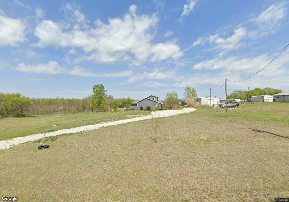
7498 Michael Rd Sanger, TX 76266
Estimated Value: $305,000 - $445,000
About This Home
This home is located at 7498 Michael Rd, Sanger, TX 76266 and is currently estimated at $408,924, approximately $274 per square foot. 7498 Michael Rd is a home located in Denton County with nearby schools including Chisholm Trail Elementary School, Clear Creek Intermediate School, and Sanger Sixth Grade Campus.
Ownership History
We collect this data history from publicly available records. To have your information removed, we recommend requesting removal directly through your county’s website.
Purchase Details
Home Financials for this Owner
Home Financials are based on the most recent Mortgage that was taken out on this home.Purchase Details
Purchase Details
Home Financials for this Owner
Home Financials are based on the most recent Mortgage that was taken out on this home.Purchase Details
Home Values in the Area
Average Home Value in this Area
Purchase History
We collect this data history from publicly available records. To have your information removed, we recommend requesting removal directly through your county’s website.
| Date | Buyer | Sale Price | Title Company |
|---|---|---|---|
| -- | Stewart Title North Texas In | ||
| $105,508 | None Available | ||
| -- | Fnt | ||
| -- | None Available |
Mortgage History
We collect this data history from publicly available records. To have your information removed, we recommend requesting removal directly through your county’s website.
| Date | Status | Borrower | Loan Amount |
|---|---|---|---|
| Open | $87,979 | ||
| Previous Owner | $124,000 |
Tax History
We collect this data history from publicly available records. To have your information removed, we recommend requesting removal directly through your county’s website.
| Year | Tax Paid | Tax Assessment Tax Assessment Total Assessment is a certain percentage of the fair market value that is determined by local assessors to be the total taxable value of land and additions on the property. | Land | Improvement |
|---|---|---|---|---|
| 2025 | $2,722 | $240,000 | $115,074 | $124,926 |
| 2024 | $2,722 | $200,520 | $179,218 | $21,302 |
| 2023 | $2,634 | $312,453 | $179,218 | $133,235 |
| 2022 | $2,239 | $135,000 | $80,500 | $54,500 |
| 2021 | $2,588 | $177,338 | $74,000 | $103,338 |
| 2020 | $2,695 | $171,526 | $74,000 | $99,934 |
| 2019 | $2,552 | $155,933 | $74,000 | $105,331 |
| 2018 | $2,337 | $141,757 | $59,500 | $82,257 |
| 2017 | $2,149 | $129,417 | $59,500 | $88,178 |
| 2016 | $1,954 | $117,652 | $38,500 | $81,661 |
| 2015 | $1,524 | $106,956 | $38,500 | $68,456 |
| 2013 | -- | $93,390 | $38,500 | $80,223 |
Map
- 9517 Indian Trail
- 7140 Davidson Rd
- 6568 Michael Rd
- 7509 Stonehenge Dr
- 7429 Stonehenge Dr
- 8875 Fm 2450
- 7425 Stonehenge Dr
- 7421 Stonehenge Dr
- 6501 Indian Trail
- 7417 Stonehenge Dr
- 7413 Stonehenge Dr
- 7405 Stonehenge Dr
- 6044 Mango Dr
- 7404 Stonehenge Dr
- TBD Michael Rd
- 6037 Amber Dr
- 6033 Mango Dr
- 6552 Private Rd 6601
- 6025 Mango Dr
- 8803 Kassandra Dr
- 7504 Michael Rd
- 7470 Michael Rd
- 7610 Michael Rd
- 7493 Michael Rd
- 7483 Michael Rd
- 7424 Michael Rd
- 7674 Michael Rd
- 7423 Michael Rd
- 7675 Michael Rd
- 7368 Michael Rd
- 7720 Michael Rd
- 9090 Indian Trail
- 7701 Michael Rd
- 7373 Michael Rd
- 7747 Michael Rd
- 8867 Lamar St
- 7308 Michael Rd
- 7319 Michael Rd
- 9024 Indian Trail
- 7166 Michael Rd
Ask me questions while you tour the home.