75 N Main St Strong, ME 04983
Estimated Value: $130,224 - $242,000
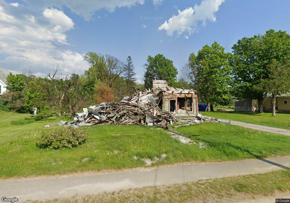
About This Home
This home is located at 75 N Main St, Strong, ME 04983 and is currently estimated at $186,556, approximately $172 per square foot. 75 N Main St is a home with nearby schools including Mt. Abram Regional High School.
Ownership History
We collect this data history from publicly available records. To have your information removed, we recommend requesting removal directly through your county’s website.
Purchase Details
Home Financials for this Owner
Home Financials are based on the most recent Mortgage that was taken out on this home.Purchase History
We collect this data history from publicly available records. To have your information removed, we recommend requesting removal directly through your county’s website.
| Date | Buyer | Sale Price | Title Company |
|---|---|---|---|
| -- | -- |
Mortgage History
We collect this data history from publicly available records. To have your information removed, we recommend requesting removal directly through your county’s website.
| Date | Status | Borrower | Loan Amount |
|---|---|---|---|
| Closed | $84,980 |
Tax History
We collect this data history from publicly available records. To have your information removed, we recommend requesting removal directly through your county’s website.
| Year | Tax Paid | Tax Assessment Tax Assessment Total Assessment is a certain percentage of the fair market value that is determined by local assessors to be the total taxable value of land and additions on the property. | Land | Improvement |
|---|---|---|---|---|
| 2025 | $1,774 | $92,880 | $18,370 | $74,510 |
| 2024 | $1,635 | $92,880 | $18,370 | $74,510 |
| 2023 | $1,486 | $92,880 | $18,370 | $74,510 |
| 2022 | $1,468 | $92,880 | $18,370 | $74,510 |
| 2021 | $1,533 | $92,880 | $18,370 | $74,510 |
| 2020 | $1,588 | $92,880 | $18,370 | $74,510 |
| 2019 | $1,653 | $92,880 | $18,370 | $74,510 |
| 2018 | $1,440 | $92,880 | $18,370 | $74,510 |
| 2017 | $1,337 | $92,880 | $18,370 | $74,510 |
| 2016 | $1,319 | $92,880 | $18,370 | $74,510 |
| 2015 | $1,365 | $92,880 | $18,370 | $74,510 |
| 2013 | $1,189 | $92,880 | $18,370 | $74,510 |
Map
- 7 Mill St
- 12 Shady Ln
- 29 River St
- 66 Farmington Rd
- 106 Montfort Dr
- R-5 13-A Norton Hill Rd
- 469 Norton Hill Rd
- MR11 L35 Burbank Hill Rd
- 288 Cross Rd
- 0 Mile Square Rd
- 414 Taylor Hill Rd
- 4 Cousineaus Tory Hill Heights
- 866 S Strong Rd
- MR7 L31&37 Taylor Hill Rd
- Lot 12 Barker Rd
- 488 Cook Hill Rd
- R6L38B New Vineyard Rd
- 32 Lake St
- 33 Lake St
- 212 Mile Square Rd
Ask me questions while you tour the home.