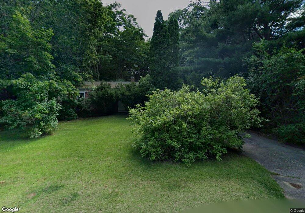
75 Prince Cir Marshfield, MA 02050
Estimated Value: $547,000 - $774,000
3
Beds
1
Bath
1,212
Sq Ft
$515/Sq Ft
Est. Value
About This Home
This home is located at 75 Prince Cir, Marshfield, MA 02050 and is currently estimated at $624,392, approximately $515 per square foot. 75 Prince Cir is a home located in Plymouth County with nearby schools including Governor Edward Winslow School, Furnace Brook Middle School, and Marshfield High School.
Ownership History
Date
Name
Owned For
Owner Type
Purchase Details
Closed on
Feb 1, 1989
Sold by
Fletcher Wm H
Bought by
Bannon James B
Current Estimated Value
Home Financials for this Owner
Home Financials are based on the most recent Mortgage that was taken out on this home.
Original Mortgage
$118,800
Interest Rate
10.62%
Mortgage Type
Purchase Money Mortgage
Create a Home Valuation Report for This Property
The Home Valuation Report is an in-depth analysis detailing your home's value as well as a comparison with similar homes in the area
Home Values in the Area
Average Home Value in this Area
Purchase History
| Date | Buyer | Sale Price | Title Company |
|---|---|---|---|
| Bannon James B | $148,500 | -- |
Source: Public Records
Mortgage History
| Date | Status | Borrower | Loan Amount |
|---|---|---|---|
| Closed | Bannon James B | $118,800 | |
| Previous Owner | Bannon James B | $163,000 |
Source: Public Records
Tax History
| Year | Tax Paid | Tax Assessment Tax Assessment Total Assessment is a certain percentage of the fair market value that is determined by local assessors to be the total taxable value of land and additions on the property. | Land | Improvement |
|---|---|---|---|---|
| 2025 | $4,770 | $481,800 | $303,700 | $178,100 |
| 2024 | $4,672 | $449,700 | $289,200 | $160,500 |
| 2023 | $4,408 | $406,600 | $258,200 | $148,400 |
| 2022 | $4,408 | $340,400 | $216,900 | $123,500 |
| 2021 | $4,346 | $329,500 | $216,900 | $112,600 |
| 2020 | $4,084 | $306,400 | $196,200 | $110,200 |
| 2019 | $3,912 | $292,400 | $196,200 | $96,200 |
| 2018 | $3,861 | $288,800 | $196,200 | $92,600 |
| 2017 | $3,858 | $281,200 | $196,200 | $85,000 |
| 2016 | $3,770 | $271,600 | $196,200 | $75,400 |
| 2015 | $3,513 | $264,300 | $196,200 | $68,100 |
| 2014 | $3,475 | $261,500 | $196,200 | $65,300 |
Source: Public Records
Map
Nearby Homes
- 118 Enterprise St
- 66 Simmons Dr
- 11 Simmons Dr
- 4 Rachael's Ln
- 45 Red Gold Farm Rd
- 585 Careswell St
- 116 Outlook Rd
- Two Railroad Ave Unit 9
- Two Railroad Ave Unit 10
- Two Railroad Ave Unit 1
- Two Railroad Ave Unit 8
- Two Railroad Ave Unit 2
- 95 Blackmount Dr
- 315 Church St
- 1141 Tremont St
- 184 King Phillips Pathe
- 26 Bowsprit Ln
- 74 Teakettle Ln
- 39 Bay Pond Rd
- 412 Moraine St
Your Personal Tour Guide
Ask me questions while you tour the home.