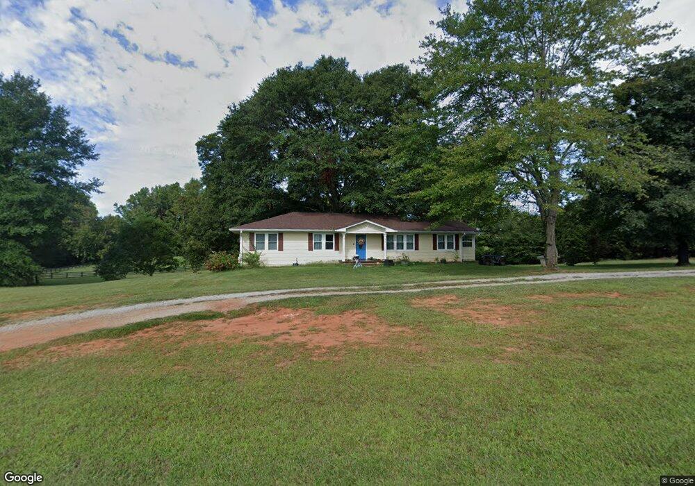
75 Skelton Rd Cleveland, GA 30528
Estimated Value: $328,000 - $409,000
3
Beds
2
Baths
2,080
Sq Ft
$177/Sq Ft
Est. Value
About This Home
This home is located at 75 Skelton Rd, Cleveland, GA 30528 and is currently estimated at $367,235, approximately $176 per square foot. 75 Skelton Rd is a home located in White County with nearby schools including White County 9th Grade Academy, Mount Yonah Elementary School, and White County Middle School.
Ownership History
Date
Name
Owned For
Owner Type
Purchase Details
Closed on
Apr 20, 2020
Sold by
Beauchamp Andrew Keith
Bought by
Foster John David and Foster Eugenia L
Current Estimated Value
Purchase Details
Closed on
Jan 25, 2018
Sold by
Gerzlik Mariola
Bought by
Beauchamp Andrew Keith
Home Financials for this Owner
Home Financials are based on the most recent Mortgage that was taken out on this home.
Original Mortgage
$175,366
Interest Rate
4.25%
Mortgage Type
FHA
Purchase Details
Closed on
Aug 3, 2017
Sold by
Blackburn Shannon Matthew
Bought by
Grezlik Stanley J and Gerzlik Mariola
Purchase Details
Closed on
May 1, 2012
Sold by
Satterfield Rachel Viola
Bought by
Blackburn Shannon
Create a Home Valuation Report for This Property
The Home Valuation Report is an in-depth analysis detailing your home's value as well as a comparison with similar homes in the area
Home Values in the Area
Average Home Value in this Area
Purchase History
| Date | Buyer | Sale Price | Title Company |
|---|---|---|---|
| Foster John David | $195,000 | -- | |
| Beauchamp Andrew Keith | $182,000 | -- | |
| Grezlik Stanley J | $85,000 | -- | |
| Blackburn Shannon | $20,507 | -- |
Source: Public Records
Mortgage History
| Date | Status | Borrower | Loan Amount |
|---|---|---|---|
| Previous Owner | Beauchamp Andrew Keith | $175,366 |
Source: Public Records
Tax History
| Year | Tax Paid | Tax Assessment Tax Assessment Total Assessment is a certain percentage of the fair market value that is determined by local assessors to be the total taxable value of land and additions on the property. | Land | Improvement |
|---|---|---|---|---|
| 2025 | $2,699 | $131,248 | $18,300 | $112,948 |
| 2024 | $2,696 | $129,420 | $16,472 | $112,948 |
| 2023 | $2,414 | $106,436 | $14,640 | $91,796 |
| 2022 | $2,188 | $92,232 | $12,812 | $79,420 |
| 2021 | $1,990 | $74,220 | $10,308 | $63,912 |
| 2020 | $1,854 | $67,868 | $9,572 | $58,296 |
| 2019 | $1,860 | $67,868 | $9,572 | $58,296 |
| 2018 | $960 | $34,000 | $6,120 | $27,880 |
| 2017 | $1,173 | $41,928 | $10,016 | $31,912 |
| 2016 | $1,173 | $41,928 | $10,016 | $31,912 |
| 2015 | $1,119 | $104,820 | $10,016 | $31,912 |
| 2014 | $1,055 | $98,590 | $0 | $0 |
Source: Public Records
Map
Nearby Homes
- 79 Hampton Hills Ln
- 322 Ash Wood Ln
- 330 Davidson Rd
- 255 Leatherford Rd
- 149 Chickasaw Trail
- 1021 Black Rd
- 0 Holiness Campground Rd Unit 10715615
- 830 Holiness Campground Rd
- 0 Highway 115 E Unit 7681529
- 0 Highway 115 E Unit 10713117
- 22 Laurel Park Dr
- 672 Cooley Woods Rd
- 00 Freeman Rd
- 0 Freeman Rd Unit LOT 3 10539998
- 0 Freeman Rd Unit LOT 4
- 0 Freeman Rd Unit LOT 2 10539989
- 0 Highland Forest Rd Unit TRACT "2" 10559371
- 15 Mountain Meadows Dr
- 0 Shenandoah Dr Unit 10728347
- 338 Black Rd
- 2174 Black Rd
- 123 Skelton Rd
- 246 Skelton Rd
- 1085 Leatherford Rd
- 1085 Leatherford Rd
- 1042 Lothridge Rd
- 2449 Black Rd
- 998 Lothridge Rd
- 966 Lothridge Rd
- 1044 Lothridge Rd Unit 5
- 1044 Lothridge Rd
- 2444 Black Rd
- 2410 Black Rd
- 2451 Black Rd
- 345 Skelton Rd
- 2499 Black Rd
- 2501 Black Rd
- 2506 Black Rd
- 1261 Leatherford Rd
- 1068 Leatherford Rd
Your Personal Tour Guide
Ask me questions while you tour the home.