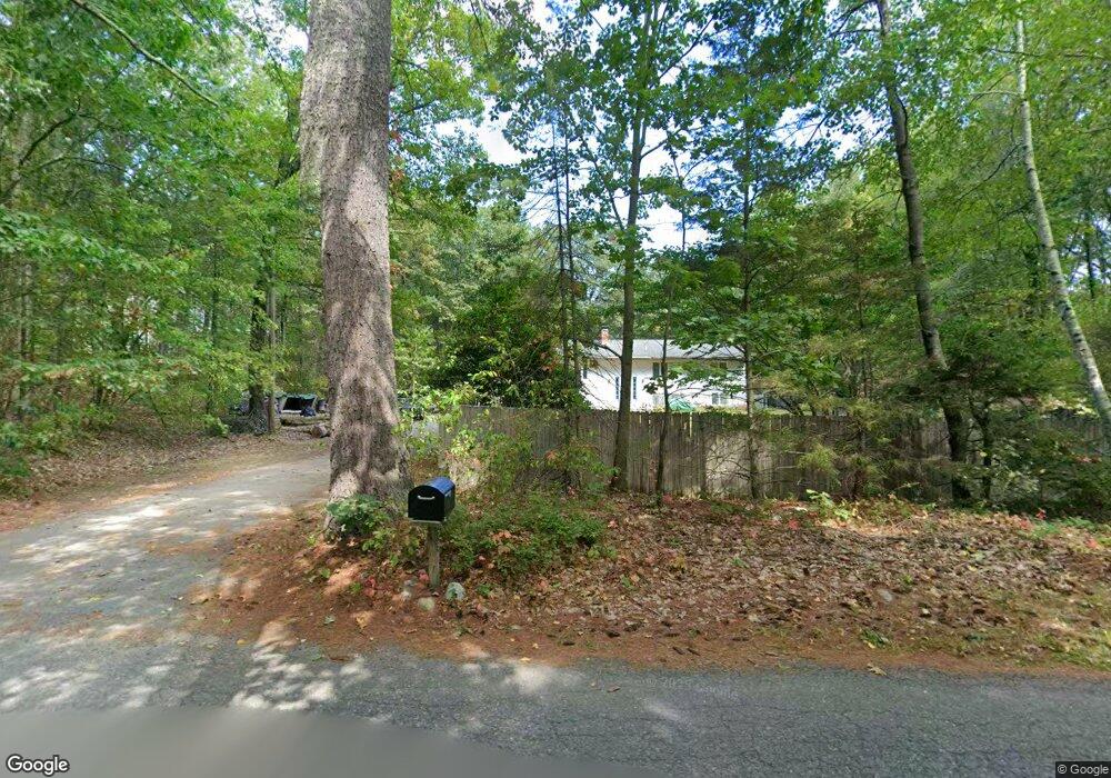
75 Whitney Rd Shirley, MA 01464
Estimated Value: $609,000 - $758,000
3
Beds
3
Baths
2,970
Sq Ft
$227/Sq Ft
Est. Value
About This Home
This home is located at 75 Whitney Rd, Shirley, MA 01464 and is currently estimated at $675,093, approximately $227 per square foot. 75 Whitney Rd is a home located in Middlesex County with nearby schools including Page Hilltop School, Lura A. White Elementary School, and Ayer Shirley Regional Middle School.
Ownership History
Date
Name
Owned For
Owner Type
Purchase Details
Closed on
Mar 13, 2014
Sold by
Norelli William J
Bought by
Norelli Kathy A and Norelli William J
Current Estimated Value
Purchase Details
Closed on
Apr 24, 1998
Sold by
Perigny Joann
Bought by
Norelli William J
Home Financials for this Owner
Home Financials are based on the most recent Mortgage that was taken out on this home.
Original Mortgage
$145,600
Interest Rate
7.11%
Mortgage Type
Purchase Money Mortgage
Create a Home Valuation Report for This Property
The Home Valuation Report is an in-depth analysis detailing your home's value as well as a comparison with similar homes in the area
Home Values in the Area
Average Home Value in this Area
Purchase History
We collect this data history from publicly available records. To have your information removed, we recommend requesting removal directly through your county’s website.
| Date | Buyer | Sale Price | Title Company |
|---|---|---|---|
| Norelli Kathy A | -- | -- | |
| Norelli William J | $182,000 | -- |
Source: Public Records
Mortgage History
We collect this data history from publicly available records. To have your information removed, we recommend requesting removal directly through your county’s website.
| Date | Status | Borrower | Loan Amount |
|---|---|---|---|
| Previous Owner | Norelli William J | $145,600 |
Source: Public Records
Tax History
| Year | Tax Paid | Tax Assessment Tax Assessment Total Assessment is a certain percentage of the fair market value that is determined by local assessors to be the total taxable value of land and additions on the property. | Land | Improvement |
|---|---|---|---|---|
| 2025 | $72 | $554,300 | $146,700 | $407,600 |
| 2024 | $6,765 | $498,500 | $134,000 | $364,500 |
| 2023 | $6,137 | $432,800 | $134,000 | $298,800 |
| 2022 | $6,468 | $417,800 | $130,000 | $287,800 |
| 2021 | $6,670 | $403,500 | $118,000 | $285,500 |
| 2020 | $6,388 | $396,500 | $118,000 | $278,500 |
| 2019 | $6,263 | $389,500 | $118,000 | $271,500 |
| 2018 | $5,929 | $361,100 | $113,200 | $247,900 |
| 2017 | $5,792 | $350,600 | $110,000 | $240,600 |
| 2016 | $5,691 | $344,700 | $110,000 | $234,700 |
| 2015 | $5,212 | $301,100 | $108,400 | $192,700 |
Source: Public Records
Map
Nearby Homes
- 40 Longwood Dr
- 11 Longwood Dr
- 65 Little Turnpike Rd
- 315 Burrage St
- 312 Burrage St
- 1 Whitney Rd
- 12 Alder Way
- 22 Townsend Rd
- 24 Townsend Rd
- 31 Spring St
- 32 Spring St
- 51 Spring St
- 1790 Massachusetts Ave Unit 25
- 1790 Massachusetts Ave Unit Lot V
- 21 Ambrose Way Unit 21
- 14 Ambrose Way Unit 14
- 4 Ambrose Way Unit 4
- 90 Arbor St
- 411 Goodrich St
- 1373 Massachusetts Ave
Your Personal Tour Guide
Ask me questions while you tour the home.