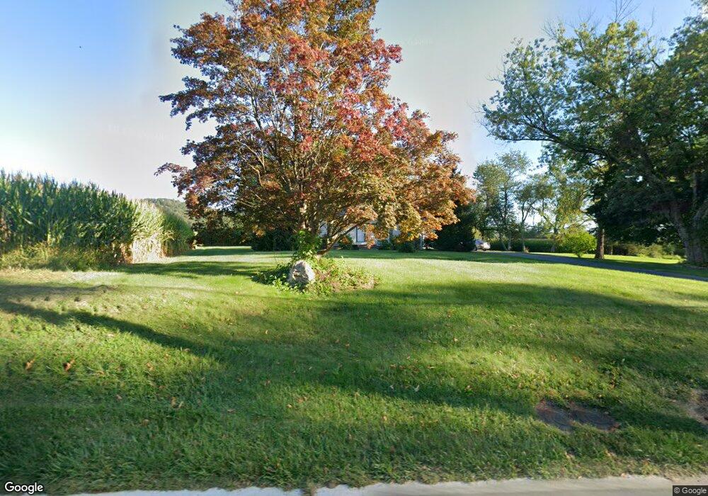
750 State Route 57 Port Murray, NJ 07865
Estimated Value: $397,379 - $516,000
3
Beds
2
Baths
1,971
Sq Ft
$231/Sq Ft
Est. Value
About This Home
This home is located at 750 State Route 57, Port Murray, NJ 07865 and is currently estimated at $454,345, approximately $230 per square foot. 750 State Route 57 is a home located in Warren County with nearby schools including Mansfield Twp Elementary School, Warren Hills Regional Middle School, and Warren Hills Reg High School.
Ownership History
Date
Name
Owned For
Owner Type
Purchase Details
Closed on
Mar 28, 2016
Sold by
Zack Barbara
Bought by
Donaldson Gary L
Current Estimated Value
Home Financials for this Owner
Home Financials are based on the most recent Mortgage that was taken out on this home.
Interest Rate
3.71%
Purchase Details
Closed on
Jan 12, 2006
Sold by
Zack James
Bought by
Zack James and Zack Barbara
Create a Home Valuation Report for This Property
The Home Valuation Report is an in-depth analysis detailing your home's value as well as a comparison with similar homes in the area
Home Values in the Area
Average Home Value in this Area
Purchase History
| Date | Buyer | Sale Price | Title Company |
|---|---|---|---|
| Donaldson Gary L | $220,000 | -- | |
| Zack James | -- | None Available |
Source: Public Records
Mortgage History
| Date | Status | Borrower | Loan Amount |
|---|---|---|---|
| Closed | Donaldson Gary L | -- |
Source: Public Records
Tax History
| Year | Tax Paid | Tax Assessment Tax Assessment Total Assessment is a certain percentage of the fair market value that is determined by local assessors to be the total taxable value of land and additions on the property. | Land | Improvement |
|---|---|---|---|---|
| 2025 | $7,389 | $208,900 | $34,400 | $174,500 |
| 2024 | $7,420 | $208,900 | $34,400 | $174,500 |
Source: Public Records
Map
Nearby Homes
- 0 Port Murray Rd Unit 3950462
- 0 Port Murray Rd Unit 3951792
- 58 Redwood Run
- 0 Harrison Ave
- 0 Adams St
- 92 Clinton Ave
- 0 Anderson Rd
- 0 Frome St Unit 3951790
- 21 Gulick St
- 237 Musconetcong River Rd
- 14 Butler Park Rd
- 46 48cherry Tree Bend Rd
- 150 Karrville Rd
- 210 Musconetcong River Rd
- 394 Hoffman Rd
- 106 Mountain Top Rd
- 8 Roseberry Rd
- 5 Settlers Ridge Ct
- 7 Settlers Ridge Ct
- 107 Mc Cullough Rd
- 759 New Jersey 57
- 746 State Route 57
- 759 State Route 57
- 735 State Route 57
- 746 New Jersey 57
- 767 State Route 57
- 735 New Jersey 57
- 0 Route 57 Unit 3828580
- 0 Route 57 Unit 3828576
- 0 Route 57 Unit 3765250
- 0 Route 57 Unit 3764542
- 731 Rt 57
- 771 State Route 57
- 731 State Route 57
- 731 New Jersey 57
- 60 Elizabeth Ave
- 725 State Route 57
- 720 New Jersey 57
- 720 New Jersey 57 Unit 720
- 781 State Route 57
Your Personal Tour Guide
Ask me questions while you tour the home.