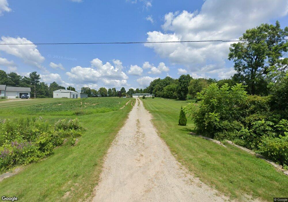
7500 Card Rd Reading, MI 49274
Estimated Value: $192,000 - $349,000
Studio
2
Baths
1,344
Sq Ft
$191/Sq Ft
Est. Value
About This Home
This home is located at 7500 Card Rd, Reading, MI 49274 and is currently estimated at $256,422, approximately $190 per square foot. 7500 Card Rd is a home located in Hillsdale County with nearby schools including Reynolds Elementary School, Reading High School, and Cooper Amish School.
Ownership History
Date
Name
Owned For
Owner Type
Purchase Details
Closed on
Jun 30, 2006
Sold by
The Estate Of Lloyd K Bowman and Newell Sandra L
Bought by
Bowman Ii Randy D
Current Estimated Value
Home Financials for this Owner
Home Financials are based on the most recent Mortgage that was taken out on this home.
Original Mortgage
$72,000
Outstanding Balance
$42,910
Interest Rate
6.72%
Mortgage Type
Purchase Money Mortgage
Estimated Equity
$213,512
Create a Home Valuation Report for This Property
The Home Valuation Report is an in-depth analysis detailing your home's value as well as a comparison with similar homes in the area
Purchase History
We collect this data history from publicly available records. To have your information removed, we recommend requesting removal directly through your county’s website.
| Date | Buyer | Sale Price | Title Company |
|---|---|---|---|
| Bowman Ii Randy D | $90,000 | None Available |
Source: Public Records
Mortgage History
We collect this data history from publicly available records. To have your information removed, we recommend requesting removal directly through your county’s website.
| Date | Status | Borrower | Loan Amount |
|---|---|---|---|
| Open | Bowman Ii Randy D | $72,000 |
Source: Public Records
Tax History
| Year | Tax Paid | Tax Assessment Tax Assessment Total Assessment is a certain percentage of the fair market value that is determined by local assessors to be the total taxable value of land and additions on the property. | Land | Improvement |
|---|---|---|---|---|
| 2025 | $651 | $101,700 | $0 | $0 |
| 2024 | $6 | $91,000 | $0 | $0 |
| 2023 | $604 | $86,900 | $0 | $0 |
| 2022 | $1,355 | $75,600 | $0 | $0 |
| 2021 | $1,317 | $66,200 | $0 | $0 |
| 2020 | $1,307 | $64,900 | $0 | $0 |
| 2019 | $1,258 | $54,600 | $0 | $0 |
| 2018 | $1,199 | $48,000 | $0 | $0 |
| 2017 | $1,196 | $48,700 | $0 | $0 |
| 2016 | $1,186 | $50,700 | $0 | $0 |
| 2015 | $526 | $50,700 | $0 | $0 |
| 2013 | $509 | $46,500 | $0 | $0 |
| 2012 | $501 | $45,710 | $0 | $0 |
Source: Public Records
Map
Nearby Homes
- 121 W State St
- 107 N Union St
- 226 Strong St
- 6019 Abbott Rd
- 3700 Abbott Rd
- 5211 Long Lake Rd
- 407 Chestnut St
- 105 W Elm St
- 5100 Long Lake Rd
- 5482 Circle Dr
- 5350 Eze St
- 4205 Carol Dr
- 0 Long Lake Rd Unit 26017518
- 3127 Tepee Dr
- 3185 Totem Trail
- 3070 Lake Dr
- 4111 Blair Rd
- 9055 Kellogg Dr
- 7940 Shaffer Rd
- 2831 Hemlock Rd
Your Personal Tour Guide
Ask me questions while you tour the home.