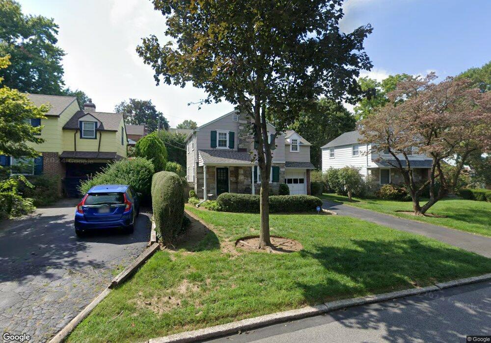
752 Argyle Rd Glenside, PA 19038
Estimated Value: $399,834 - $500,000
About This Home
This home is located at 752 Argyle Rd, Glenside, PA 19038 and is currently estimated at $446,709, approximately $385 per square foot. 752 Argyle Rd is a home located in Montgomery County with nearby schools including Enfield Elementary School, Erdenheim Elementary School, and Springfield Township Middle School.
Ownership History
We collect this data history from publicly available records. To have your information removed, we recommend requesting removal directly through your county’s website.
Purchase Details
Home Financials for this Owner
Home Financials are based on the most recent Mortgage that was taken out on this home.Purchase Details
Purchase Details
Home Values in the Area
Average Home Value in this Area
Purchase History
We collect this data history from publicly available records. To have your information removed, we recommend requesting removal directly through your county’s website.
| Date | Buyer | Sale Price | Title Company |
|---|---|---|---|
| $234,000 | -- | ||
| $175,900 | -- | ||
| $138,000 | -- |
Mortgage History
We collect this data history from publicly available records. To have your information removed, we recommend requesting removal directly through your county’s website.
| Date | Status | Borrower | Loan Amount |
|---|---|---|---|
| Previous Owner | $95,000 |
Tax History
We collect this data history from publicly available records. To have your information removed, we recommend requesting removal directly through your county’s website.
| Year | Tax Paid | Tax Assessment Tax Assessment Total Assessment is a certain percentage of the fair market value that is determined by local assessors to be the total taxable value of land and additions on the property. | Land | Improvement |
|---|---|---|---|---|
| 2026 | $5,965 | $116,360 | -- | -- |
| 2025 | $5,480 | $116,360 | $44,270 | $72,090 |
| 2024 | $5,480 | $116,360 | $44,270 | $72,090 |
| 2023 | $5,289 | $116,360 | $44,270 | $72,090 |
| 2022 | $5,138 | $116,360 | $44,270 | $72,090 |
| 2021 | $5,004 | $116,360 | $44,270 | $72,090 |
| 2020 | $4,887 | $116,360 | $44,270 | $72,090 |
| 2019 | $4,812 | $116,360 | $44,270 | $72,090 |
| 2018 | $4,811 | $116,360 | $44,270 | $72,090 |
| 2017 | $4,594 | $116,360 | $44,270 | $72,090 |
| 2016 | $4,547 | $116,360 | $44,270 | $72,090 |
| 2015 | $4,323 | $116,360 | $44,270 | $72,090 |
| 2014 | $4,323 | $116,360 | $44,270 | $72,090 |
Map
- 2810 Limekiln Pike
- 650 Brooke Rd Unit B11
- 121 Elm Ave
- 100 Logan Ave
- 339 Maple Ave
- 528 526-528 East Ave
- 250 Logan Ave
- 511 East Ave
- 138 Houston Ave
- 523 W Glenside Ave
- 257 Girard Ave
- 552 Custis Rd
- 331 Logan Ave
- 21 Red Oak Rd
- 105 Paper Mill Rd
- 510 Lindley Rd
- 436 Penn Ave
- 337 Edge Hill Rd
- 239 Limekiln Pike
- 625 Willow Grove Ave
Ask me questions while you tour the home.