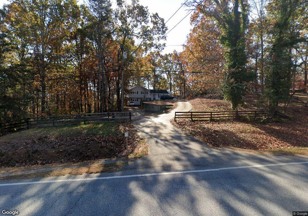
754 Price Rd Dawsonville, GA 30534
Estimated Value: $318,000 - $367,000
About This Home
This home is located at 754 Price Rd, Dawsonville, GA 30534 and is currently estimated at $347,132, approximately $277 per square foot. 754 Price Rd is a home located in Dawson County with nearby schools including Kilough Elementary School, Dawson County Middle School, and Dawson County Junior High School.
Ownership History
We collect this data history from publicly available records. To have your information removed, we recommend requesting removal directly through your county’s website.
Purchase Details
Purchase Details
Purchase Details
Home Values in the Area
Average Home Value in this Area
Purchase History
We collect this data history from publicly available records. To have your information removed, we recommend requesting removal directly through your county’s website.
| Date | Buyer | Sale Price | Title Company |
|---|---|---|---|
| -- | None Listed On Document | ||
| -- | -- | ||
| $59,000 | -- |
Tax History
We collect this data history from publicly available records. To have your information removed, we recommend requesting removal directly through your county’s website.
| Year | Tax Paid | Tax Assessment Tax Assessment Total Assessment is a certain percentage of the fair market value that is determined by local assessors to be the total taxable value of land and additions on the property. | Land | Improvement |
|---|---|---|---|---|
| 2025 | $2,109 | $129,680 | $20,000 | $109,680 |
| 2024 | $2,109 | $127,760 | $20,000 | $107,760 |
| 2023 | $2,078 | $134,560 | $20,000 | $114,560 |
| 2022 | $426 | $86,880 | $16,000 | $70,880 |
| 2021 | $173 | $74,640 | $16,000 | $58,640 |
| 2020 | $164 | $73,920 | $16,000 | $57,920 |
| 2019 | $41 | $63,800 | $16,000 | $47,800 |
| 2018 | $41 | $63,800 | $16,000 | $47,800 |
| 2017 | $6 | $52,480 | $10,000 | $42,480 |
| 2016 | $6 | $52,769 | $10,000 | $42,769 |
| 2015 | $9 | $52,769 | $10,000 | $42,769 |
| 2014 | $4 | $37,864 | $10,000 | $27,864 |
| 2013 | -- | $31,622 | $8,000 | $23,622 |
Map
- 5064 Silver Fox Trail
- 261 Silver Fox Dr
- 127 Mountainside Dr E
- 188 Foxhill Dr
- 284 Moss Rd
- 131 Moss Rd
- 56 Knollwood Ct
- 10 Knollwood Ct
- 195 Stoneridge Ct
- 18 Stoneridge Ct
- 145 Dogwood Way
- 95 Oak Creek Way
- 118 Stonehaven Dr
- 9 Fieldstone Ct E
- 6311 Sparrow Ct
- 62 Tumbling Waters Trail
- 107 Emmette Dr
- 147 Blue Heron Bluff
- 0 Nix Bridge Rd Unit 7782025
- 0 Nix Bridge Rd Unit 10778031
- 221 Grant Trail
- 722 Price Rd
- 808 Price Rd
- 209 Grant Trail
- 236 Grant Trail
- 236 Grant Trail
- 167 Grant Trail Unit 5
- 167 Grant Trail
- 706 Price Rd
- 771 Price Rd
- 807 Price Rd
- 39 Juniper Ln
- 131 Grant Trail
- 850 Price Rd
- 721 Price Rd
- 680 Price Rd
- 66 Juniper Ln
- 66 Juniper Ln Unit 9
- 176 Grant Trail
- 121 Grant Trail
Ask me questions while you tour the home.