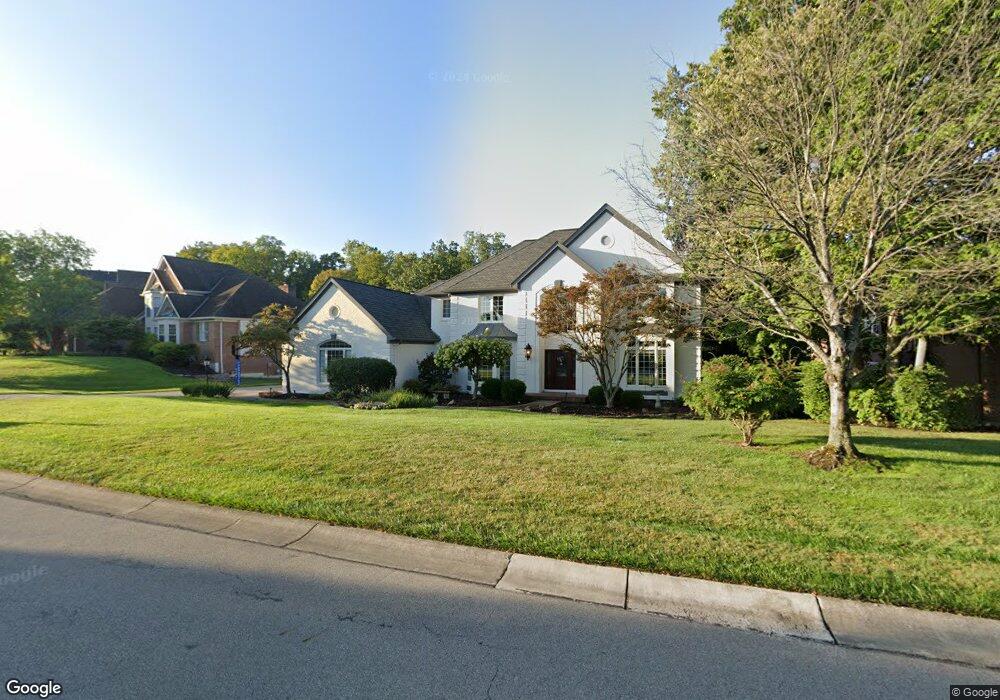
7545 Pinehurst Dr Cincinnati, OH 45244
Estimated Value: $883,631 - $1,277,000
About This Home
This home is located at 7545 Pinehurst Dr, Cincinnati, OH 45244 and is currently estimated at $1,025,908, approximately $304 per square foot. 7545 Pinehurst Dr is a home located in Hamilton County with nearby schools including Mercer Elementary School, Nagel Middle School, and Turpin High School.
Ownership History
We collect this data history from publicly available records. To have your information removed, we recommend requesting removal directly through your county’s website.
Purchase Details
Purchase Details
Home Financials for this Owner
Home Financials are based on the most recent Mortgage that was taken out on this home.Purchase Details
Home Financials for this Owner
Home Financials are based on the most recent Mortgage that was taken out on this home.Home Values in the Area
Average Home Value in this Area
Purchase History
We collect this data history from publicly available records. To have your information removed, we recommend requesting removal directly through your county’s website.
| Date | Buyer | Sale Price | Title Company |
|---|---|---|---|
| -- | Attorney | ||
| $590,000 | -- | ||
| -- | -- |
Mortgage History
We collect this data history from publicly available records. To have your information removed, we recommend requesting removal directly through your county’s website.
| Date | Status | Borrower | Loan Amount |
|---|---|---|---|
| Previous Owner | $450,000 | ||
| Previous Owner | $399,600 |
Tax History
We collect this data history from publicly available records. To have your information removed, we recommend requesting removal directly through your county’s website.
| Year | Tax Paid | Tax Assessment Tax Assessment Total Assessment is a certain percentage of the fair market value that is determined by local assessors to be the total taxable value of land and additions on the property. | Land | Improvement |
|---|---|---|---|---|
| 2025 | $12,712 | $224,340 | $45,500 | $178,840 |
| 2024 | $12,466 | $224,340 | $45,500 | $178,840 |
| 2023 | $12,528 | $224,340 | $45,500 | $178,840 |
| 2022 | $10,909 | $174,286 | $44,135 | $130,151 |
| 2021 | $10,621 | $174,286 | $44,135 | $130,151 |
| 2020 | $10,759 | $174,286 | $44,135 | $130,151 |
| 2019 | $11,888 | $175,914 | $45,500 | $130,414 |
| 2018 | $11,101 | $175,914 | $45,500 | $130,414 |
| 2017 | $10,532 | $175,914 | $45,500 | $130,414 |
| 2016 | $10,759 | $175,459 | $47,723 | $127,736 |
| 2015 | $11,104 | $175,459 | $47,723 | $127,736 |
| 2014 | $11,115 | $175,459 | $47,723 | $127,736 |
| 2013 | $10,355 | $173,723 | $47,250 | $126,473 |
Map
- 3154 Hawkslanding Dr
- 7260 English Dr Unit 8303
- 7207 Ivy Way
- 7154 English Dr Unit 2202
- 3490 Miljoie Dr
- 8105 Wycliffe Dr
- 8096 Wycliffe Dr
- 3308 Suwanee Ct
- 7890 Blairhouse Dr
- 3130 Wolf Run Ct
- 6975 Perthview Dr
- 7926 Blairhouse Dr
- 2434 Concordgreen Dr
- 3441 Drake St
- 2559 Concordgreen Dr
- 2574 Little Dry Run Rd
- 8009 Blairhouse Dr
- 7495 Hunley Rd
- 2362 Burklin Dr
- 3226 Church St
- 7533 Pinehurst Dr
- 7553 Pinehurst Dr
- 7567 Pinehurst Dr
- 7546 Pinehurst Dr
- 7534 Pinehurst Dr
- 7554 Pinehurst Dr
- 7524 Pinehurst Dr
- 7513 Pinehurst Dr
- 7575 Pinehurst Dr
- 7566 Pinehurst Dr
- 7510 Pinehurst Dr
- 7574 Pinehurst Dr
- 7507 Pinehurst Dr
- 7500 Pinehurst Dr
- 3115 Hawkslanding Dr
- 3127 Hawkslanding Dr
- 3133 Hawkslanding Dr
- 7490 Pinehurst Dr
- 3111 Hawkslanding Dr
- 3139 Hawkslanding Dr
Ask me questions while you tour the home.