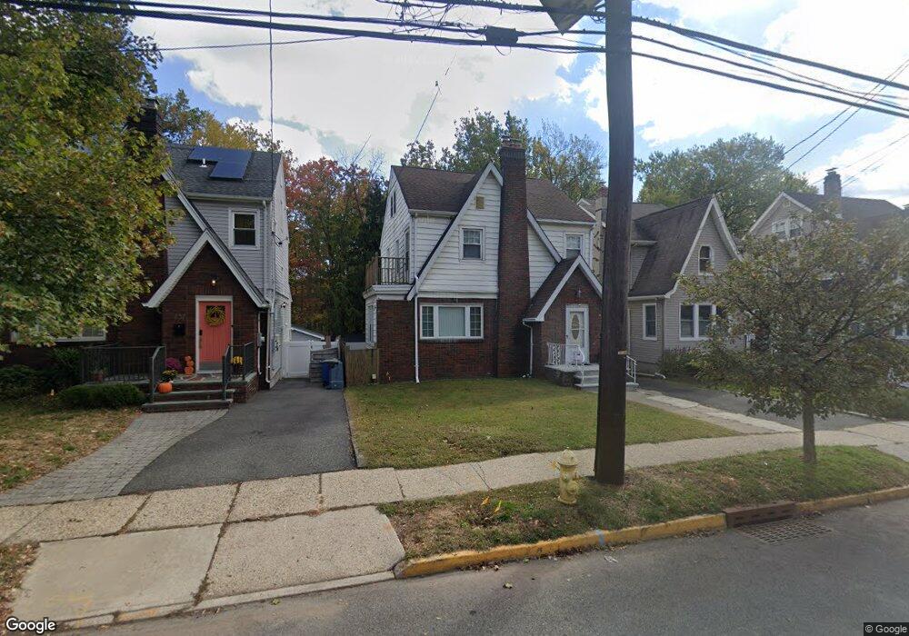
755 Broad St Bloomfield, NJ 07003
Estimated Value: $593,362 - $666,000
Studio
--
Bath
1,438
Sq Ft
$445/Sq Ft
Est. Value
About This Home
This home is located at 755 Broad St, Bloomfield, NJ 07003 and is currently estimated at $640,091, approximately $445 per square foot. 755 Broad St is a home located in Essex County with nearby schools including Brookdale School, Bloomfield Middle School, and Bloomfield High School.
Ownership History
Date
Name
Owned For
Owner Type
Purchase Details
Closed on
Dec 2, 2005
Sold by
Owens Derrick
Bought by
Barabasi Istvan and Csalavari Rita
Current Estimated Value
Purchase Details
Closed on
May 10, 2001
Sold by
Estate Of Anne Bukowski
Bought by
Owens Derrick
Home Financials for this Owner
Home Financials are based on the most recent Mortgage that was taken out on this home.
Original Mortgage
$179,000
Interest Rate
7.08%
Create a Home Valuation Report for This Property
The Home Valuation Report is an in-depth analysis detailing your home's value as well as a comparison with similar homes in the area
Home Values in the Area
Average Home Value in this Area
Purchase History
We collect this data history from publicly available records. To have your information removed, we recommend requesting removal directly through your county’s website.
| Date | Buyer | Sale Price | Title Company |
|---|---|---|---|
| Barabasi Istvan | $363,000 | -- | |
| Owens Derrick | $207,000 | -- |
Source: Public Records
Mortgage History
We collect this data history from publicly available records. To have your information removed, we recommend requesting removal directly through your county’s website.
| Date | Status | Borrower | Loan Amount |
|---|---|---|---|
| Previous Owner | Owens Derrick | $179,000 |
Source: Public Records
Tax History
| Year | Tax Paid | Tax Assessment Tax Assessment Total Assessment is a certain percentage of the fair market value that is determined by local assessors to be the total taxable value of land and additions on the property. | Land | Improvement |
|---|---|---|---|---|
| 2025 | $13,171 | $388,300 | $152,700 | $235,600 |
| 2024 | $12,690 | $388,300 | $152,700 | $235,600 |
| 2022 | $12,433 | $388,300 | $152,700 | $235,600 |
| 2021 | $12,204 | $388,300 | $152,700 | $235,600 |
| 2020 | $12,018 | $388,300 | $152,700 | $235,600 |
| 2019 | $12,106 | $304,100 | $151,000 | $153,100 |
| 2018 | $12,055 | $304,100 | $151,000 | $153,100 |
| 2017 | $11,872 | $304,100 | $151,000 | $153,100 |
| 2016 | $11,738 | $304,100 | $151,000 | $153,100 |
| 2015 | $11,632 | $304,100 | $151,000 | $153,100 |
| 2014 | $11,419 | $304,100 | $151,000 | $153,100 |
Source: Public Records
Map
Nearby Homes
- 734 Broad St
- 384 Essex Ave
- 55 Greenbrook Dr Unit 7C
- 52 Greenbrook Dr
- 90 Stonehouse Rd
- 264 Forest Ave
- 282 Forest Ave
- 199 Stonehouse Rd
- 106 Broughton Ave
- 5 Ardsley Rd
- 51 Sunset Ave
- 13 Ferncliff Terrace
- 2 Columbus Ave
- 430 Ridgewood Ave
- 20 Columbus Ave
- 935 Broad St Unit 35B
- 330 Hoover Ave
- 263 Hoover Ave
- 367 Hoover Ave
- 398 Hoover Ave Unit 185
Your Personal Tour Guide
Ask me questions while you tour the home.