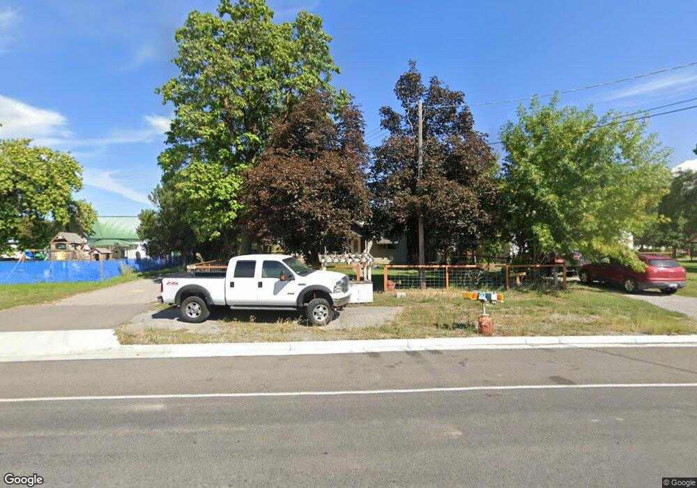
755 E 400 N Wellsville, UT 84339
Estimated Value: $380,907 - $452,000
4
Beds
2
Baths
2,009
Sq Ft
$207/Sq Ft
Est. Value
About This Home
This home is located at 755 E 400 N, Wellsville, UT 84339 and is currently estimated at $415,727, approximately $206 per square foot. 755 E 400 N is a home located in Cache County with nearby schools including Wellsville School, South Cache Middle School, and Mountain Crest High School.
Ownership History
Date
Name
Owned For
Owner Type
Purchase Details
Closed on
Oct 1, 2019
Sold by
Wyatt Barbara
Bought by
Wyatt Dale L
Current Estimated Value
Purchase Details
Closed on
Dec 12, 2018
Sold by
Leishman Scott L
Bought by
Spilman Tanner
Home Financials for this Owner
Home Financials are based on the most recent Mortgage that was taken out on this home.
Original Mortgage
$215,000
Outstanding Balance
$189,420
Interest Rate
4.8%
Mortgage Type
New Conventional
Estimated Equity
$226,307
Purchase Details
Closed on
Nov 8, 2001
Sold by
Leishman Arvin J and Leishman Carolann K
Bought by
Leishman Arvin J and Leishman Carolann K
Create a Home Valuation Report for This Property
The Home Valuation Report is an in-depth analysis detailing your home's value as well as a comparison with similar homes in the area
Home Values in the Area
Average Home Value in this Area
Purchase History
| Date | Buyer | Sale Price | Title Company |
|---|---|---|---|
| Wyatt Dale L | -- | Cache Title Company Inc | |
| Spilman Tanner | -- | Hickman Land Title Company | |
| Leishman Arvin J | -- | -- |
Source: Public Records
Mortgage History
| Date | Status | Borrower | Loan Amount |
|---|---|---|---|
| Open | Spilman Tanner | $215,000 |
Source: Public Records
Tax History
| Year | Tax Paid | Tax Assessment Tax Assessment Total Assessment is a certain percentage of the fair market value that is determined by local assessors to be the total taxable value of land and additions on the property. | Land | Improvement |
|---|---|---|---|---|
| 2025 | $1,350 | $195,155 | $0 | $0 |
| 2024 | $1,445 | $194,735 | $0 | $0 |
| 2023 | $1,390 | $176,425 | $0 | $0 |
| 2022 | $1,415 | $174,180 | $0 | $0 |
| 2021 | $1,073 | $201,738 | $54,100 | $147,638 |
| 2020 | $940 | $167,668 | $54,100 | $113,568 |
| 2019 | $989 | $167,668 | $54,100 | $113,568 |
| 2018 | $938 | $155,200 | $53,800 | $101,400 |
| 2017 | $859 | $74,635 | $0 | $0 |
| 2016 | $877 | $69,685 | $0 | $0 |
| 2015 | $818 | $69,685 | $0 | $0 |
| 2014 | $797 | $69,685 | $0 | $0 |
| 2013 | -- | $69,685 | $0 | $0 |
Source: Public Records
Map
Nearby Homes
- 4633 S Highway 89
- 575 N 850 E
- 5307 S 3100 W Unit 3
- 5212 S 3100 W Unit 5
- 5346 S 3100 W Unit 7
- 5355 S 3100 W Unit 2
- 5302 S 3100 W Unit 6
- 873 E 675 N
- 550 N 200 E
- 570 N 200 E
- 76 N Center St
- 83 W 300 N Unit 4
- 42 E 200 S
- 2815 W 5700 S Unit 2
- 2815 W 5700 S Unit 1
- 338 N 1090 W
- 3798 W 6100 S
- 507 S 200 W
- 614 300 W
- 643 300 W
Your Personal Tour Guide
Ask me questions while you tour the home.