757 Highway D Hawk Point, MO 63349
About This Home
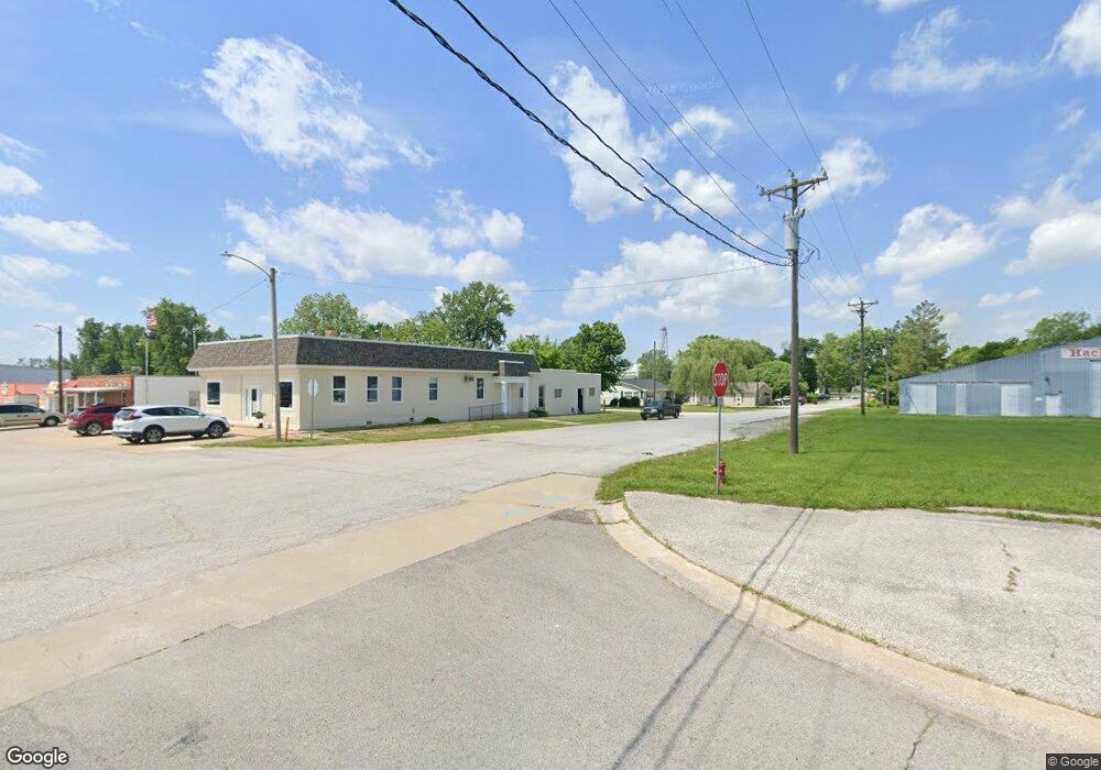
This home is located at 757 Highway D, Hawk Point, MO 63349. 757 Highway D is a home located in Lincoln County with nearby schools including Hawk Point Elementary School, Troy Middle School, and Troy Buchanan High School.
Ownership History
We collect this data history from publicly available records. To have your information removed, we recommend requesting removal directly through your county’s website.
Purchase Details
Home Financials for this Owner
Home Financials are based on the most recent Mortgage that was taken out on this home.Purchase History
We collect this data history from publicly available records. To have your information removed, we recommend requesting removal directly through your county’s website.
| Date | Buyer | Sale Price | Title Company |
|---|---|---|---|
| -- | Select Title Group |
Mortgage History
We collect this data history from publicly available records. To have your information removed, we recommend requesting removal directly through your county’s website.
| Date | Status | Borrower | Loan Amount |
|---|---|---|---|
| Open | $25,400 |
Tax History
We collect this data history from publicly available records. To have your information removed, we recommend requesting removal directly through your county’s website.
| Year | Tax Paid | Tax Assessment Tax Assessment Total Assessment is a certain percentage of the fair market value that is determined by local assessors to be the total taxable value of land and additions on the property. | Land | Improvement |
|---|---|---|---|---|
| 2025 | $554 | $24,403 | $598 | $23,805 |
| 2024 | $537 | $8,701 | $224 | $8,477 |
| 2023 | $534 | $23,203 | $598 | $22,605 |
| 2022 | $1,716 | $27,520 | $4,602 | $22,918 |
| 2021 | $1,725 | $27,520 | $0 | $0 |
| 2020 | $183 | $3,040 | $0 | $0 |
| 2019 | $183 | $3,040 | $0 | $0 |
| 2018 | $211 | $3,455 | $0 | $0 |
| 2017 | $225 | $3,668 | $0 | $0 |
| 2016 | $205 | $3,278 | $0 | $0 |
| 2015 | $1,548 | $13,328 | $0 | $0 |
| 2014 | $1,614 | $25,123 | $0 | $0 |
| 2013 | -- | $25,123 | $0 | $0 |
Map
- 975 Turkey Creek Rd
- 965 Turkey Creek Rd
- 995 Turkey Creek Rd
- 935 Turkey Creek Rd
- 939 Turkey Creek Rd
- 929 Turkey Creek Rd
- 755 Highway D
- 719 Highway D
- 919 Turkey Creek Rd
- 960 Turkey Creek Rd
- 695 Highway D
- 689 Highway D
- 678 Highway D
- 668 Highway D
- 891 Highway D
- 665 Highway D
- 871 Turkey Creek Rd
- 751 Highway D
- 607 Highway D
- 748 Highway D
Ask me questions while you tour the home.