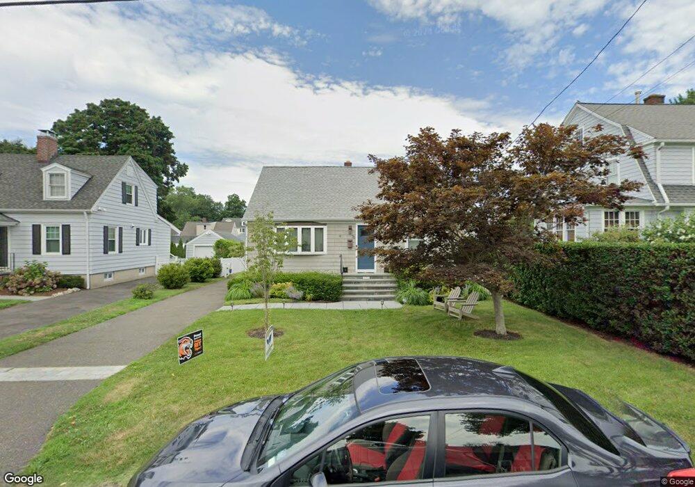
76 Clinton St Fairfield, CT 06824
Fairfield Beach NeighborhoodEstimated Value: $959,000 - $1,081,000
About This Home
This home is located at 76 Clinton St, Fairfield, CT 06824 and is currently estimated at $1,006,855, approximately $936 per square foot. 76 Clinton St is a home located in Fairfield County with nearby schools including Roger Sherman Elementary School, Roger Ludlowe Middle School, and Fairfield Ludlowe High School.
Ownership History
We collect this data history from publicly available records. To have your information removed, we recommend requesting removal directly through your county’s website.
Purchase Details
Home Values in the Area
Average Home Value in this Area
Purchase History
We collect this data history from publicly available records. To have your information removed, we recommend requesting removal directly through your county’s website.
| Date | Buyer | Sale Price | Title Company |
|---|---|---|---|
| $462,500 | -- |
Tax History
We collect this data history from publicly available records. To have your information removed, we recommend requesting removal directly through your county’s website.
| Year | Tax Paid | Tax Assessment Tax Assessment Total Assessment is a certain percentage of the fair market value that is determined by local assessors to be the total taxable value of land and additions on the property. | Land | Improvement |
|---|---|---|---|---|
| 2025 | $10,157 | $357,770 | $292,040 | $65,730 |
| 2024 | $9,982 | $357,770 | $292,040 | $65,730 |
| 2023 | $9,842 | $357,770 | $292,040 | $65,730 |
| 2022 | $9,746 | $357,770 | $292,040 | $65,730 |
| 2021 | $9,653 | $357,770 | $292,040 | $65,730 |
| 2020 | $8,821 | $329,280 | $258,860 | $70,420 |
| 2019 | $8,821 | $329,280 | $258,860 | $70,420 |
| 2018 | $8,680 | $329,280 | $258,860 | $70,420 |
| 2017 | $8,502 | $329,280 | $258,860 | $70,420 |
| 2016 | $8,380 | $329,280 | $258,860 | $70,420 |
| 2015 | $8,439 | $340,410 | $279,300 | $61,110 |
| 2014 | $8,306 | $340,410 | $279,300 | $61,110 |
Map
- 96 Clinton St
- 896 Riverside Dr
- 298 S Benson Rd
- 10 Horace Ct
- 313 Old Post Rd
- 598 S Benson Rd
- 35 S Benson Commons
- 173 Puritan Rd
- 920 Old Post Rd
- 153 Birch Rd
- 69 Birch Rd
- 252 Shoreham Village Dr
- 378 Penfield Rd
- 394 Penfield Rd
- 81 Shoreham Terrace
- 54 Timothy St
- 372 Rowland Rd
- 685 Gilman St
- 75 Millard St
- 21 Ardmore St
- 867 Riverside Dr
- 887 Riverside Dr
- 897 Riverside Dr
- 118 Clinton St
- 128 Clinton St
- 847 Riverside Dr
- 110 Clinton St
- 876 Riverside Dr
- 856 Riverside Dr
- 375 S Benson Rd
- 86 Clinton St
- 836 Riverside Dr
- 836 Riverside Dr Unit A
- 836 Riverside Dr Unit B
- 383 S Benson Rd
- 835 Riverside Dr
- 844 Riverside Dr
- 365 S Benson Rd
- 399 S Benson Rd
- 827 Riverside Dr
Ask me questions while you tour the home.