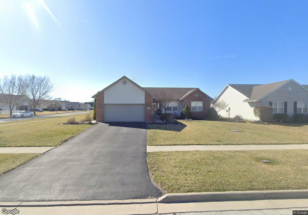
760 Colt Dr Findlay, OH 45840
Estimated Value: $308,000 - $330,000
3
Beds
2
Baths
1,629
Sq Ft
$196/Sq Ft
Est. Value
About This Home
This home is located at 760 Colt Dr, Findlay, OH 45840 and is currently estimated at $319,675, approximately $196 per square foot. 760 Colt Dr is a home located in Hancock County with nearby schools including Wilson Vance Elementary School, Whittier Elementary School, and Donnell Middle School.
Ownership History
Date
Name
Owned For
Owner Type
Purchase Details
Closed on
Sep 7, 2016
Sold by
Wagner Chad A and Wagner Cara R
Bought by
Fry Deanna L
Current Estimated Value
Home Financials for this Owner
Home Financials are based on the most recent Mortgage that was taken out on this home.
Original Mortgage
$150,800
Outstanding Balance
$117,811
Interest Rate
3.43%
Mortgage Type
New Conventional
Estimated Equity
$201,864
Purchase Details
Closed on
Jun 25, 2004
Sold by
Best Roger and Best Nancy J
Bought by
Wagner Chad A and Wagner Cara R
Home Financials for this Owner
Home Financials are based on the most recent Mortgage that was taken out on this home.
Original Mortgage
$162,500
Interest Rate
6.5%
Mortgage Type
Purchase Money Mortgage
Purchase Details
Closed on
Jan 29, 2004
Sold by
Country Club Acres Inc
Bought by
Best Roger
Create a Home Valuation Report for This Property
The Home Valuation Report is an in-depth analysis detailing your home's value as well as a comparison with similar homes in the area
Home Values in the Area
Average Home Value in this Area
Purchase History
We collect this data history from publicly available records. To have your information removed, we recommend requesting removal directly through your county’s website.
| Date | Buyer | Sale Price | Title Company |
|---|---|---|---|
| Fry Deanna L | $188,500 | Mid Am Title | |
| Wagner Chad A | $162,500 | Mid Am Title | |
| Best Roger | $29,033 | -- |
Source: Public Records
Mortgage History
We collect this data history from publicly available records. To have your information removed, we recommend requesting removal directly through your county’s website.
| Date | Status | Borrower | Loan Amount |
|---|---|---|---|
| Open | Fry Deanna L | $150,800 | |
| Previous Owner | Wagner Chad A | $162,500 |
Source: Public Records
Tax History
| Year | Tax Paid | Tax Assessment Tax Assessment Total Assessment is a certain percentage of the fair market value that is determined by local assessors to be the total taxable value of land and additions on the property. | Land | Improvement |
|---|---|---|---|---|
| 2025 | $2,965 | $96,640 | $18,330 | $78,310 |
| 2024 | $2,908 | $81,860 | $15,530 | $66,330 |
| 2023 | $2,913 | $81,860 | $15,530 | $66,330 |
| 2022 | $2,903 | $81,860 | $15,530 | $66,330 |
| 2021 | $2,785 | $68,370 | $14,510 | $53,860 |
| 2020 | $2,783 | $68,370 | $14,510 | $53,860 |
| 2019 | $2,727 | $68,370 | $14,510 | $53,860 |
| 2018 | $2,571 | $59,130 | $9,670 | $49,460 |
| 2017 | $2,544 | $58,510 | $9,670 | $48,840 |
| 2016 | $2,507 | $58,510 | $9,670 | $48,840 |
| 2015 | $2,310 | $52,820 | $10,270 | $42,550 |
| 2014 | $2,310 | $52,820 | $10,270 | $42,550 |
| 2012 | $2,561 | $58,130 | $10,270 | $47,860 |
Source: Public Records
Map
Nearby Homes
- 1463 Misty Oaks Dr
- 804 Hunters Creek Dr
- 1105 1st St
- 1210 South St
- 1163 Lye Creek Dr
- 400 Chase Rd
- 15586 Canadian Way
- 1925 Lippincott Ave
- 309 Huron Rd
- 0 Blanchard Ave
- 100 Warrington Ave
- 310 Osborn Ave
- 825 Morse St
- 827 Wilson St
- 1031 6th St
- 1125 S Blanchard St
- 326 Pheasant Run Ln
- 1638 Westview Dr
- 1231 S Blanchard St
- 516 2nd St
- 750 Colt Dr
- 761 Winchester Ct
- 810 Colt Dr
- 751 Remington St
- 740 Colt Dr
- 761 Colt Dr
- 5 Winchester Ct
- 8 Winchester Ct
- 0 Winchester Ct Unit H125967
- 0 Winchester Ct Unit H125968
- 443 Winchester Ct
- 741 Remington St
- 751 Colt Dr
- 801 Colt Dr
- 1271 Winchester Ct
- 820 Colt Dr
- 761 Remington St
- 730 Colt Dr
- 741 Colt Dr
- 811 Colt Dr
Your Personal Tour Guide
Ask me questions while you tour the home.