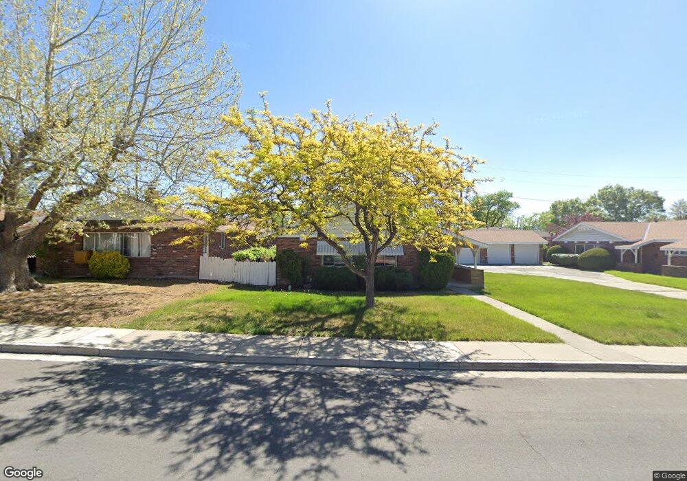
760 Kirman Ave Reno, NV 89502
Wells Avenue District NeighborhoodEstimated Value: $534,820 - $1,224,000
About This Home
This home is located at 760 Kirman Ave, Reno, NV 89502 and is currently estimated at $829,955, approximately $456 per square foot. 760 Kirman Ave is a home located in Washoe County with nearby schools including Libby C Booth Elementary School, Vaughn Middle School, and Earl Wooster High School.
Ownership History
We collect this data history from publicly available records. To have your information removed, we recommend requesting removal directly through your county’s website.
Purchase Details
Purchase Details
Home Values in the Area
Average Home Value in this Area
Purchase History
We collect this data history from publicly available records. To have your information removed, we recommend requesting removal directly through your county’s website.
| Date | Buyer | Sale Price | Title Company |
|---|---|---|---|
| -- | None Listed On Document | ||
| -- | -- |
Tax History
We collect this data history from publicly available records. To have your information removed, we recommend requesting removal directly through your county’s website.
| Year | Tax Paid | Tax Assessment Tax Assessment Total Assessment is a certain percentage of the fair market value that is determined by local assessors to be the total taxable value of land and additions on the property. | Land | Improvement |
|---|---|---|---|---|
| 2026 | $779 | $80,449 | $55,195 | $25,254 |
| 2024 | $1,076 | $80,164 | $55,195 | $24,969 |
| 2023 | $1,045 | $79,601 | $57,505 | $22,096 |
| 2022 | $968 | $64,229 | $45,675 | $18,554 |
| 2021 | $941 | $49,731 | $31,465 | $18,266 |
| 2020 | $926 | $44,979 | $26,950 | $18,029 |
| 2019 | $883 | $42,894 | $25,690 | $17,204 |
| 2018 | $858 | $32,895 | $16,450 | $16,445 |
| 2017 | $835 | $32,481 | $16,450 | $16,031 |
| 2016 | $818 | $30,402 | $14,420 | $15,982 |
| 2015 | $818 | $26,098 | $10,430 | $15,668 |
| 2014 | $796 | $24,013 | $9,100 | $14,913 |
| 2013 | -- | $20,914 | $7,000 | $13,914 |
Map
- 725 Wilkinson Ave
- 824 Locust St
- 707 Roberts St
- 1025 Locust St
- 512 Burns St
- 549 Wonder St
- 1055 Curti Dr
- 315 Crampton St
- 885 Ryland St
- 831 Ryland St
- 190 Locust St
- 330 Stewart St
- 1401 Bresson Ave
- 800 S Center St
- 536 Sinclair St
- 330 Broadway Blvd
- 101 S Wells Ave
- 519 Sinclair St
- 468 Capitol Hill Ave
- 127 E Pueblo St
- 740 Kirman Ave
- 780 Kirman Ave
- 767 Edelweiss St
- 745/747 Edelweiss St
- 745 Edelweiss St
- 785 Edelweiss St
- 720 Kirman Ave
- 820 Kirman Ave
- 725 Kirman Ave
- 695 Cheney St
- 727 Edelweiss St
- 805 Edelweiss St
- 700 Thoma St
- 705 Kirman Ave
- 840 Kirman Ave
- 780 Thoma St
- 790 Thoma St
- 651 Cheney St
- 825 Edelweiss St
- 805 Kirman Ave
Ask me questions while you tour the home.