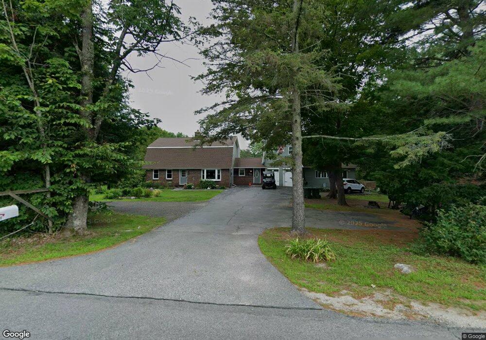
760 Lower St Turner, ME 04282
Estimated Value: $351,361 - $496,000
5
Beds
3
Baths
1,008
Sq Ft
$424/Sq Ft
Est. Value
About This Home
This home is located at 760 Lower St, Turner, ME 04282 and is currently estimated at $427,840, approximately $424 per square foot. 760 Lower St is a home located in Androscoggin County with nearby schools including Tripp Middle School, Leavitt Area High School, and Calvary Christian Academy.
Ownership History
Date
Name
Owned For
Owner Type
Purchase Details
Closed on
Sep 19, 2006
Sold by
Cram William G and Cram Claire B
Bought by
Tierney Ronald and Martel Deborah L
Current Estimated Value
Home Financials for this Owner
Home Financials are based on the most recent Mortgage that was taken out on this home.
Original Mortgage
$292,887
Outstanding Balance
$203,571
Interest Rate
10%
Mortgage Type
Adjustable Rate Mortgage/ARM
Estimated Equity
$224,269
Create a Home Valuation Report for This Property
The Home Valuation Report is an in-depth analysis detailing your home's value as well as a comparison with similar homes in the area
Home Values in the Area
Average Home Value in this Area
Purchase History
We collect this data history from publicly available records. To have your information removed, we recommend requesting removal directly through your county’s website.
| Date | Buyer | Sale Price | Title Company |
|---|---|---|---|
| Tierney Ronald | -- | -- |
Source: Public Records
Mortgage History
We collect this data history from publicly available records. To have your information removed, we recommend requesting removal directly through your county’s website.
| Date | Status | Borrower | Loan Amount |
|---|---|---|---|
| Open | Tierney Ronald | $292,887 |
Source: Public Records
Tax History
| Year | Tax Paid | Tax Assessment Tax Assessment Total Assessment is a certain percentage of the fair market value that is determined by local assessors to be the total taxable value of land and additions on the property. | Land | Improvement |
|---|---|---|---|---|
| 2025 | $3,657 | $268,900 | $58,000 | $210,900 |
| 2024 | $3,428 | $268,900 | $58,000 | $210,900 |
| 2023 | $3,375 | $268,900 | $58,000 | $210,900 |
| 2022 | $3,065 | $268,900 | $58,000 | $210,900 |
| 2021 | $3,065 | $268,900 | $58,000 | $210,900 |
| 2020 | $3,199 | $178,700 | $36,000 | $142,700 |
| 2019 | $3,217 | $178,700 | $36,000 | $142,700 |
| 2018 | $3,172 | $178,700 | $36,000 | $142,700 |
| 2016 | $3,206 | $178,700 | $36,000 | $142,700 |
| 2015 | $2,841 | $178,700 | $36,000 | $142,700 |
| 2014 | $2,806 | $178,700 | $36,000 | $142,700 |
| 2013 | $2,677 | $178,700 | $36,000 | $142,700 |
Source: Public Records
Map
Nearby Homes
- 51 N Parish Rd
- 562 Lower St
- 843 Upper St
- 78 Sunset Blvd
- 22 Robins Way
- 238 N Parish Rd
- 31 Church St
- 282 N Parish Rd
- 0 Auburn Rd Unit 1659141
- 0 Auburn Rd Unit 1648743
- 28-1 Auburn Rd
- Lot 21 Auburn Rd
- 00000 Auburn Rd
- 346 N Parish Rd
- 15 Seaward Rd
- 45 N Shore Rd
- 86 Back Cove Dr
- 497 N Parish Rd
- 42 Willard Dr
- 47 Wildberry Ln
- 0 Lower Street #3
- 0 Lower Street Lot #1
- 752 Lower St
- 748 Lower St
- 747 Lower St
- 738 Lower St
- 739 Lower St
- 786 Lower St
- 736 Lower St
- 48 Honaker Dr
- 790 & 792 Lower St
- 726 Lower St
- 19 Hornet Drive Lot 6
- 20 Hornet Drive Lot 3
- 22 Hornet Drive Lot 4
- 804 Lower St
- Lot 3 Hornet Dr
- Lot 6 Hornet Dr
- Lot 5 Hornet Dr
- Lot 4 Hornet Dr
Your Personal Tour Guide
Ask me questions while you tour the home.