7607 Blake Rd Greenleaf, WI 54126
Estimated Value: $440,000 - $1,073,450
5
Beds
4
Baths
4,327
Sq Ft
$175/Sq Ft
Est. Value
About This Home
This home is located at 7607 Blake Rd, Greenleaf, WI 54126 and is currently estimated at $756,725, approximately $174 per square foot. 7607 Blake Rd is a home located in Brown County with nearby schools including Wrightstown Elementary School, Wrightstown Middle School, and Wrightstown High School.
Ownership History
Date
Name
Owned For
Owner Type
Purchase Details
Closed on
Jun 27, 2012
Sold by
Brushwood Lp 1
Bought by
Schneider Andrew and Schneider Connie
Current Estimated Value
Home Financials for this Owner
Home Financials are based on the most recent Mortgage that was taken out on this home.
Original Mortgage
$206,500
Outstanding Balance
$140,551
Interest Rate
3.83%
Mortgage Type
Credit Line Revolving
Estimated Equity
$616,174
Purchase Details
Closed on
Sep 12, 2011
Sold by
Kocken Frank A and Kocken Cindy M
Bought by
Brushwood Limited Partnership I
Purchase Details
Closed on
Jan 11, 2001
Sold by
V & V Builders Inc
Bought by
Kocken Frank A and Kocken Cindy M
Create a Home Valuation Report for This Property
The Home Valuation Report is an in-depth analysis detailing your home's value as well as a comparison with similar homes in the area
Purchase History
| Date | Buyer | Sale Price | Title Company |
|---|---|---|---|
| Schneider Andrew | $413,000 | Bay Title | |
| Brushwood Limited Partnership I | $391,600 | None Available | |
| Kocken Frank A | $425,700 | -- |
Source: Public Records
Mortgage History
| Date | Status | Borrower | Loan Amount |
|---|---|---|---|
| Open | Schneider Andrew | $206,500 |
Source: Public Records
Tax History
| Year | Tax Paid | Tax Assessment Tax Assessment Total Assessment is a certain percentage of the fair market value that is determined by local assessors to be the total taxable value of land and additions on the property. | Land | Improvement |
|---|---|---|---|---|
| 2025 | $8,498 | $745,900 | $96,700 | $649,200 |
| 2024 | $7,481 | $746,000 | $96,800 | $649,200 |
| 2023 | $8,378 | $745,100 | $95,900 | $649,200 |
| 2022 | $9,006 | $455,800 | $49,100 | $406,700 |
| 2021 | $8,399 | $455,400 | $48,700 | $406,700 |
| 2020 | $7,947 | $455,200 | $48,500 | $406,700 |
| 2019 | $7,389 | $454,700 | $48,000 | $406,700 |
| 2018 | $7,568 | $317,900 | $33,000 | $284,900 |
| 2017 | $7,115 | $317,900 | $33,000 | $284,900 |
| 2016 | $7,967 | $317,900 | $33,000 | $284,900 |
| 2015 | $7,945 | $454,400 | $47,700 | $406,700 |
| 2014 | $8,861 | $454,400 | $47,700 | $406,700 |
| 2013 | $8,861 | $443,600 | $45,500 | $398,100 |
Source: Public Records
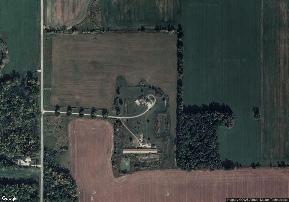
Map
Nearby Homes
- 1763 Swiss Alps Ct
- 1567 Old School Place
- 6500 Deuster Rd
- 0 State 96 Unit 50322901
- 4215 Hill Rd
- 5540 Cty Hwy Pp
- 7207 Fairview Rd
- 0 Dickinson Rd Unit 50196912
- 0 Dickinson Rd Unit 50307782
- 4432 Mill Rd
- 722 Lee Ave
- 709 Lee Ave
- 600 N Main St
- 5678 Morrison Rd
- 310 W Ryan St
- 0 Cth W Unit 50320912
- 548 Nicole Ln
- 544 Nicole Ln
- 1445 Rockland Heights Rd
- 941 Ledge Way
Your Personal Tour Guide
Ask me questions while you tour the home.