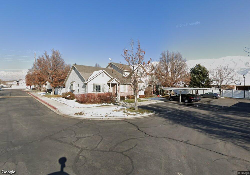
761 E 80 S American Fork, UT 84003
Estimated Value: $408,000 - $455,000
3
Beds
3
Baths
2,360
Sq Ft
$183/Sq Ft
Est. Value
About This Home
This home is located at 761 E 80 S, American Fork, UT 84003 and is currently estimated at $431,575, approximately $182 per square foot. 761 E 80 S is a home located in Utah County with nearby schools including Barratt Elementary School, American Fork Junior High School, and American Fork High School.
Ownership History
Date
Name
Owned For
Owner Type
Purchase Details
Closed on
Oct 29, 2008
Sold by
Woolstenhulme Cyril Clyde and Woolstenhulme Emma Lorraine
Bought by
Marsh Stephanie
Current Estimated Value
Home Financials for this Owner
Home Financials are based on the most recent Mortgage that was taken out on this home.
Original Mortgage
$142,450
Outstanding Balance
$93,461
Interest Rate
6.07%
Mortgage Type
FHA
Estimated Equity
$338,114
Purchase Details
Closed on
Oct 21, 2002
Sold by
Timpanogos Heights Llc
Bought by
Woolstenhulme Cyril Clyde and Woolstenhulme Emma Lorraine
Create a Home Valuation Report for This Property
The Home Valuation Report is an in-depth analysis detailing your home's value as well as a comparison with similar homes in the area
Home Values in the Area
Average Home Value in this Area
Purchase History
| Date | Buyer | Sale Price | Title Company |
|---|---|---|---|
| Marsh Stephanie | -- | First American Lindon | |
| Woolstenhulme Cyril Clyde | -- | Backman Stewart Title Svcs |
Source: Public Records
Mortgage History
| Date | Status | Borrower | Loan Amount |
|---|---|---|---|
| Open | Marsh Stephanie | $142,450 |
Source: Public Records
Tax History
| Year | Tax Paid | Tax Assessment Tax Assessment Total Assessment is a certain percentage of the fair market value that is determined by local assessors to be the total taxable value of land and additions on the property. | Land | Improvement |
|---|---|---|---|---|
| 2025 | $1,810 | $205,095 | -- | -- |
| 2024 | $1,810 | $201,135 | $0 | $0 |
| 2023 | $1,654 | $194,810 | $0 | $0 |
| 2022 | $1,494 | $173,635 | $0 | $0 |
| 2021 | $1,437 | $260,900 | $31,300 | $229,600 |
| 2020 | $1,319 | $232,300 | $27,900 | $204,400 |
| 2019 | $1,214 | $221,200 | $26,300 | $194,900 |
| 2018 | $1,085 | $189,000 | $22,700 | $166,300 |
| 2017 | $1,012 | $95,150 | $0 | $0 |
| 2016 | $998 | $87,175 | $0 | $0 |
| 2015 | $1,052 | $87,175 | $0 | $0 |
| 2014 | $976 | $79,750 | $0 | $0 |
Source: Public Records
Map
Nearby Homes
Your Personal Tour Guide
Ask me questions while you tour the home.