763 Desparado Rd Bailey, CO 80421
Estimated Value: $710,028 - $826,000
3
Beds
3
Baths
2,319
Sq Ft
$332/Sq Ft
Est. Value
About This Home
This home is located at 763 Desparado Rd, Bailey, CO 80421 and is currently estimated at $770,007, approximately $332 per square foot. 763 Desparado Rd is a home located in Park County with nearby schools including Deer Creek Elementary School, Fitzsimmons Middle School, and Platte Canyon High School.
Ownership History
Date
Name
Owned For
Owner Type
Purchase Details
Closed on
Oct 17, 2016
Sold by
Hebson Ernest Oliver and Hebson Anne Reed
Bought by
Carmickle Randall W and Carmickle Brandyn S
Current Estimated Value
Home Financials for this Owner
Home Financials are based on the most recent Mortgage that was taken out on this home.
Original Mortgage
$312,000
Outstanding Balance
$247,260
Interest Rate
3.44%
Mortgage Type
New Conventional
Estimated Equity
$522,747
Purchase Details
Closed on
Jun 30, 2014
Sold by
Lawton Timothy P and Lawton Keturah D
Bought by
Hebson Ernest Oliver and Hebson Ernest Oliver
Home Financials for this Owner
Home Financials are based on the most recent Mortgage that was taken out on this home.
Original Mortgage
$282,292
Interest Rate
4.4%
Mortgage Type
FHA
Create a Home Valuation Report for This Property
The Home Valuation Report is an in-depth analysis detailing your home's value as well as a comparison with similar homes in the area
Home Values in the Area
Average Home Value in this Area
Purchase History
We collect this data history from publicly available records. To have your information removed, we recommend requesting removal directly through your county’s website.
| Date | Buyer | Sale Price | Title Company |
|---|---|---|---|
| Carmickle Randall W | $390,000 | Guardian Title | |
| Hebson Ernest Oliver | $287,500 | Fidelity National Title Ins |
Source: Public Records
Mortgage History
We collect this data history from publicly available records. To have your information removed, we recommend requesting removal directly through your county’s website.
| Date | Status | Borrower | Loan Amount |
|---|---|---|---|
| Open | Carmickle Randall W | $312,000 | |
| Previous Owner | Hebson Ernest Oliver | $282,292 |
Source: Public Records
Tax History
| Year | Tax Paid | Tax Assessment Tax Assessment Total Assessment is a certain percentage of the fair market value that is determined by local assessors to be the total taxable value of land and additions on the property. | Land | Improvement |
|---|---|---|---|---|
| 2025 | $2,759 | $43,110 | $14,170 | $28,940 |
| 2024 | $2,666 | $45,070 | $14,870 | $30,200 |
| 2023 | $2,666 | $45,070 | $14,870 | $30,200 |
| 2022 | $2,250 | $35,535 | $8,901 | $26,634 |
| 2021 | $2,232 | $36,560 | $9,160 | $27,400 |
| 2020 | $1,956 | $30,780 | $6,220 | $24,560 |
| 2019 | $1,930 | $30,780 | $6,220 | $24,560 |
| 2018 | $1,707 | $30,780 | $6,220 | $24,560 |
| 2017 | $1,705 | $26,380 | $6,460 | $19,920 |
| 2016 | $1,510 | $23,260 | $6,300 | $16,960 |
| 2015 | $1,523 | $23,260 | $6,300 | $16,960 |
| 2014 | $1,240 | $0 | $0 | $0 |
Source: Public Records
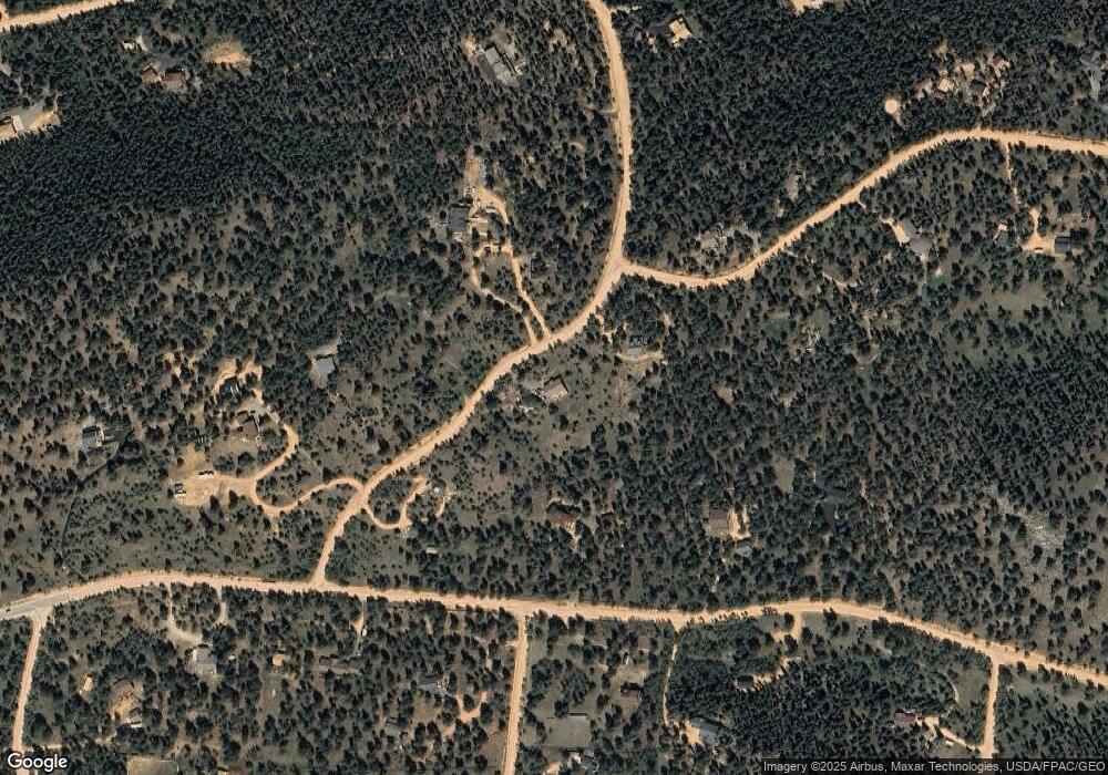
Map
Nearby Homes
- 92 Four Bits St
- 107 Ox Yoke Ln
- 104 Six Bits St
- 280 Double Tree Rd
- 461 Hitchrack Rd
- 850 Hangmans Rd
- 3763 County Road 43
- 599 Vigilante Ave
- 410 Spring Dr
- 927 Forest Dr
- 237 Road b
- 84 Marys Ln
- 1504 County Road 43
- 33 Smith St
- 1819 Nova Rd Unit 4
- 103 Gross Rd
- 72 Hilltop Dr
- 745 N Pine Dr Unit 6
- 72 Hall Rd
- 139 Hayes Rd
- 711 Desparado Rd Unit 4
- 2493 Vigilante Ave
- 702 Desparado Rd
- 951 Desparado Rd
- 2547 Vigilante Ave
- 31 Buckaroo Rd
- 804 Desparado Rd
- 956 Desparado Rd
- 2504 Vigilante Ave
- 2635 Vigilante Ave
- 63 Wagon Tongue Rd
- 89 Buckaroo Rd
- 2364 Vigilante Ave
- 550 Desparado Rd
- 2560 Vigilante Ave
- 607 Desparado Rd
- 104 Buckaroo Rd
- 2252 Vigilante Ave
- 132 Wagon Tongue Rd
- 102 Desparado Rd
Your Personal Tour Guide
Ask me questions while you tour the home.