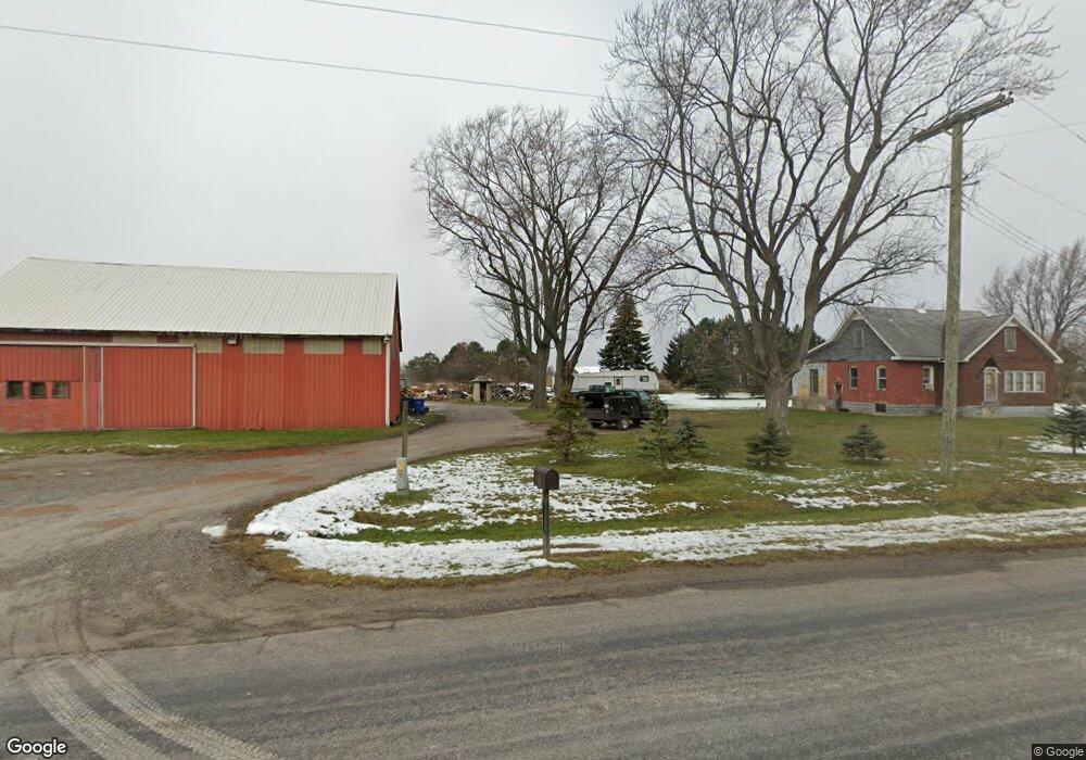
7631 War Rd Newport, MI 48166
Estimated Value: $370,820 - $383,000
3
Beds
2
Baths
1,904
Sq Ft
$198/Sq Ft
Est. Value
About This Home
This home is located at 7631 War Rd, Newport, MI 48166 and is currently estimated at $377,273, approximately $198 per square foot. 7631 War Rd is a home located in Monroe County with nearby schools including Airport Senior High School and Triumph Academy.
Ownership History
Date
Name
Owned For
Owner Type
Purchase Details
Closed on
Apr 25, 2002
Sold by
Mckay Kenneth
Bought by
Lange William
Current Estimated Value
Home Financials for this Owner
Home Financials are based on the most recent Mortgage that was taken out on this home.
Original Mortgage
$76,500
Interest Rate
7%
Mortgage Type
New Conventional
Purchase Details
Closed on
May 11, 1998
Sold by
Mallinger John P
Bought by
Mckay Kenneth J
Home Financials for this Owner
Home Financials are based on the most recent Mortgage that was taken out on this home.
Original Mortgage
$30,000
Interest Rate
7.25%
Mortgage Type
New Conventional
Purchase Details
Closed on
Mar 25, 1997
Sold by
Carns Mark
Bought by
Mallinger John P
Home Financials for this Owner
Home Financials are based on the most recent Mortgage that was taken out on this home.
Original Mortgage
$36,225
Interest Rate
7.82%
Mortgage Type
New Conventional
Purchase Details
Closed on
May 18, 1995
Sold by
Morris Bert G
Bought by
Carns Mark and Carns Sharon
Create a Home Valuation Report for This Property
The Home Valuation Report is an in-depth analysis detailing your home's value as well as a comparison with similar homes in the area
Home Values in the Area
Average Home Value in this Area
Purchase History
| Date | Buyer | Sale Price | Title Company |
|---|---|---|---|
| Lange William | $90,000 | -- | |
| Mckay Kenneth J | $50,000 | -- | |
| Mallinger John P | $42,900 | -- | |
| Carns Mark | $31,000 | -- |
Source: Public Records
Mortgage History
| Date | Status | Borrower | Loan Amount |
|---|---|---|---|
| Closed | Lange William | $76,500 | |
| Previous Owner | Mckay Kenneth J | $30,000 | |
| Previous Owner | Mallinger John P | $36,225 |
Source: Public Records
Tax History
| Year | Tax Paid | Tax Assessment Tax Assessment Total Assessment is a certain percentage of the fair market value that is determined by local assessors to be the total taxable value of land and additions on the property. | Land | Improvement |
|---|---|---|---|---|
| 2025 | $1,368 | $144,800 | $144,800 | $0 |
| 2024 | $1,327 | $138,300 | $0 | $0 |
| 2023 | $1,264 | $125,700 | $0 | $0 |
| 2022 | $3,493 | $125,700 | $0 | $0 |
| 2021 | $3,359 | $125,200 | $0 | $0 |
| 2020 | $3,420 | $110,200 | $0 | $0 |
| 2019 | $3,267 | $110,200 | $0 | $0 |
| 2018 | $3,178 | $109,300 | $0 | $0 |
| 2017 | $1,079 | $109,300 | $0 | $0 |
| 2016 | $2,992 | $109,000 | $0 | $0 |
| 2015 | $2,896 | $97,200 | $0 | $0 |
| 2014 | $2,857 | $97,200 | $0 | $0 |
| 2013 | -- | $98,800 | $0 | $0 |
Source: Public Records
Map
Nearby Homes
- 1698 Solo Ln
- 1808 Oak St Unit 701
- 1983 Oak St
- 8737 Daniel Dr
- 0 N Telegraph Rd Unit 50189310
- 1827 Newport Rd
- 0 N Telegraph Rd
- 0 N Telegraph Rd Unit 50165571
- 0 N Telegraph Rd Unit 25053939
- 9027 W Timberview Dr Unit 277
- 680 Leveque Cir
- 2330 Charter Oak Ct
- 7611 Michelle St
- 6095 N Stony Creek Rd
- 0000 Telegraph Rd
- 9072 Greentree Dr
- 9229 Post Branch Dr Unit 342
- 9091 Greentree Dr Unit 58
- 0000 S Stony Creek Rd
- 2322 Crestview Dr Unit 99
Your Personal Tour Guide
Ask me questions while you tour the home.