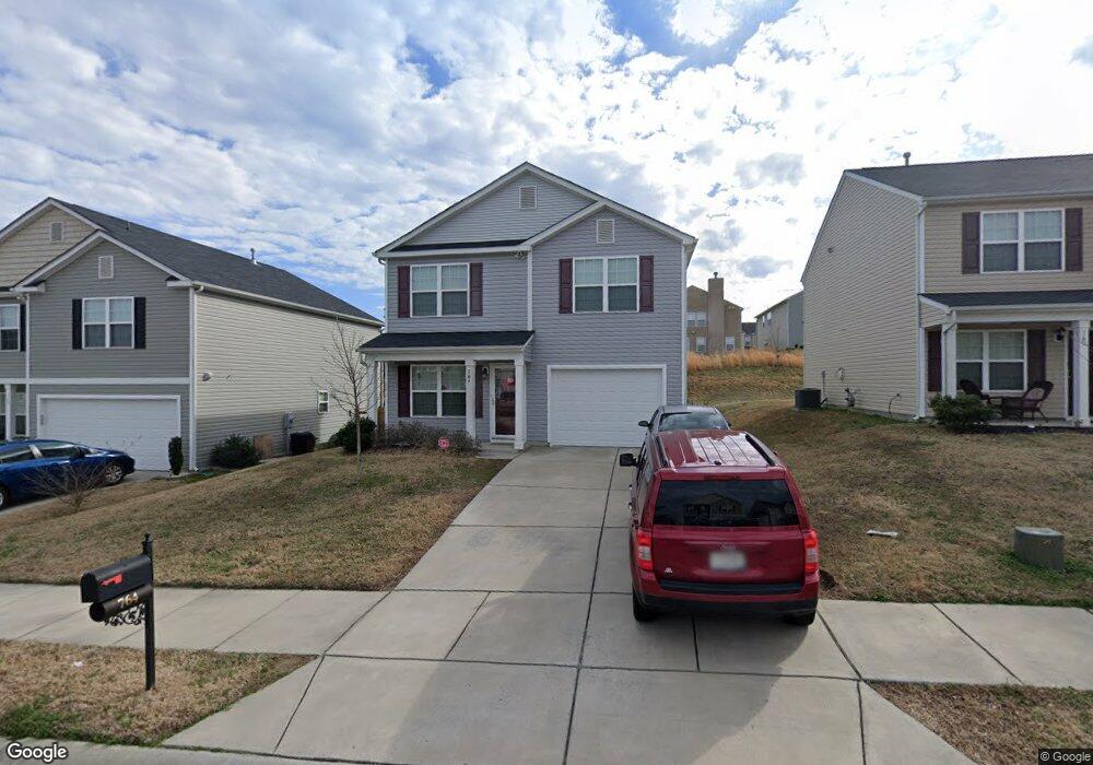
764 Bartram Ave Concord, NC 28025
Estimated Value: $295,000 - $318,000
About This Home
This home is located at 764 Bartram Ave, Concord, NC 28025 and is currently estimated at $305,977, approximately $175 per square foot. 764 Bartram Ave is a home located in Cabarrus County with nearby schools including Rocky River Elementary School, C.C. Griffin Middle School, and Central Cabarrus High School.
Ownership History
We collect this data history from publicly available records. To have your information removed, we recommend requesting removal directly through your county’s website.
Purchase Details
Home Financials for this Owner
Home Financials are based on the most recent Mortgage that was taken out on this home.Purchase Details
Home Values in the Area
Average Home Value in this Area
Purchase History
We collect this data history from publicly available records. To have your information removed, we recommend requesting removal directly through your county’s website.
| Date | Buyer | Sale Price | Title Company |
|---|---|---|---|
| $129,000 | None Available | ||
| $480,000 | None Available |
Mortgage History
We collect this data history from publicly available records. To have your information removed, we recommend requesting removal directly through your county’s website.
| Date | Status | Borrower | Loan Amount |
|---|---|---|---|
| Open | $126,422 |
Tax History
We collect this data history from publicly available records. To have your information removed, we recommend requesting removal directly through your county’s website.
| Year | Tax Paid | Tax Assessment Tax Assessment Total Assessment is a certain percentage of the fair market value that is determined by local assessors to be the total taxable value of land and additions on the property. | Land | Improvement |
|---|---|---|---|---|
| 2025 | $2,897 | $290,890 | $70,000 | $220,890 |
| 2024 | $2,897 | $290,890 | $70,000 | $220,890 |
| 2023 | $2,439 | $199,940 | $45,000 | $154,940 |
| 2022 | $2,439 | $199,940 | $45,000 | $154,940 |
| 2021 | $2,439 | $199,940 | $45,000 | $154,940 |
| 2020 | $2,439 | $199,940 | $45,000 | $154,940 |
| 2019 | $1,684 | $138,020 | $20,000 | $118,020 |
| 2018 | $1,656 | $138,020 | $20,000 | $118,020 |
| 2017 | $1,629 | $138,020 | $20,000 | $118,020 |
| 2016 | $966 | $119,930 | $20,000 | $99,930 |
| 2015 | $236 | $119,930 | $20,000 | $99,930 |
| 2014 | $236 | $119,930 | $20,000 | $99,930 |
Map
- 768 Bartram Ave Unit 116
- 597 Bloomover St
- 4018 Bethesda Place
- 637 Nannyberry Ln
- 999 Ramsgate Dr SW
- 4148 Long Arrow Dr
- 1039 Manston Place SW
- 303 Olde North Church Dr Unit 38
- 227 Morning Dew Dr
- 836 Chastain Ave
- 2752 Nc-49 S
- 359 Morning Dew Dr
- 4410 Zion Church Rd
- 3560 Us Highway 601 S
- 974 Avery Ct
- 1009 Braxton Dr
- 847 Kathryn Dr SE
- 4227 Kiser Woods Dr SW
- 196 Flint Ridge Dr
- 3560-C U S 601
- 760 Bartram Ave
- 768 Bartram Ave
- 772 Bartram Ave
- 756 Bartram Ave
- 689 Shellbark Dr
- 685 Shellbark Dr
- 693 Shellbark Dr
- 693 Shellbark Dr Unit 95
- 776 Bartram Ave
- 752 Bartram Ave
- 681 Shellbark Dr
- 697 Shellbark Dr
- 677 Shellbark Dr
- 769 Bartram Ave
- 773 Bartram Ave
- 765 Bartram Ave
- 780 Bartram Ave
- 777 Bartram Ave
- 748 Bartram Ave
- 761 Bartram Ave
Ask me questions while you tour the home.