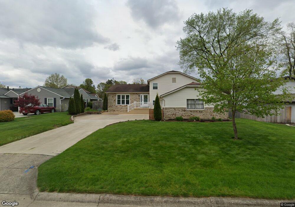
764 Hampton Rd S Newark, OH 43055
Estimated Value: $324,000 - $370,000
About This Home
This home is located at 764 Hampton Rd S, Newark, OH 43055 and is currently estimated at $341,297, approximately $137 per square foot. 764 Hampton Rd S is a home located in Licking County with nearby schools including John Clem Elementary School, Liberty Middle School, and Newark High School.
Ownership History
We collect this data history from publicly available records. To have your information removed, we recommend requesting removal directly through your county’s website.
Purchase Details
Home Financials for this Owner
Home Financials are based on the most recent Mortgage that was taken out on this home.Home Values in the Area
Average Home Value in this Area
Purchase History
We collect this data history from publicly available records. To have your information removed, we recommend requesting removal directly through your county’s website.
| Date | Buyer | Sale Price | Title Company |
|---|---|---|---|
| $132,500 | -- |
Mortgage History
We collect this data history from publicly available records. To have your information removed, we recommend requesting removal directly through your county’s website.
| Date | Status | Borrower | Loan Amount |
|---|---|---|---|
| Open | $130,452 |
Tax History
We collect this data history from publicly available records. To have your information removed, we recommend requesting removal directly through your county’s website.
| Year | Tax Paid | Tax Assessment Tax Assessment Total Assessment is a certain percentage of the fair market value that is determined by local assessors to be the total taxable value of land and additions on the property. | Land | Improvement |
|---|---|---|---|---|
| 2025 | $3,130 | $92,720 | $20,970 | $71,750 |
| 2024 | $3,314 | $92,720 | $20,970 | $71,750 |
| 2023 | $3,308 | $92,720 | $20,970 | $71,750 |
| 2022 | $2,731 | $68,150 | $12,360 | $55,790 |
| 2021 | $2,864 | $68,150 | $12,360 | $55,790 |
| 2020 | $2,929 | $68,150 | $12,360 | $55,790 |
| 2019 | $2,322 | $52,020 | $12,360 | $39,660 |
| 2018 | $2,324 | $0 | $0 | $0 |
| 2017 | $2,226 | $0 | $0 | $0 |
| 2016 | $2,179 | $0 | $0 | $0 |
| 2015 | $2,226 | $0 | $0 | $0 |
| 2014 | $2,852 | $0 | $0 | $0 |
| 2013 | $2,172 | $0 | $0 | $0 |
Map
- 325 Stare Rd
- 247 Rugg Ave
- 574 Mount Vernon Rd
- 391 Moull St
- 20 Cherry St
- 413 Sherwood Dr W
- 913 Roosevelt Ct
- 562 Prior Ave
- 82 Moull St
- 584 Moull St Unit A
- 210 W Shields St
- 525 W Shields St
- 916 Lateglow Ct
- 11 Waterworks Rd
- 168 Waterworks Rd
- 712 Meadow Dr
- 639 Taft Ave
- 976 Kingsbury Ct
- 395 Mount Vernon Rd
- 328 Eddy St
- 760 Hampton Rd S
- 768 Hampton Rd S
- 755 Towne Krier Ct
- 756 Hampton Rd S
- 772 Hampton Rd S
- 745 Towne Krier Ct
- 773 Hampton Rd S
- 757 Plymouth Place
- 750 S Hampton Rd
- 765 Towne Krier Ct
- 750 Hampton Rd S
- 771 Plymouth Place
- 775 Hampton Rd S
- 753 Coventry Cir
- 735 Towne Krier Ct
- 759 Plymouth Place
- 754 Towne Krier Ct
- 744 Hampton Rd S
- 769 Plymouth Place
- 225 Stare Rd
Ask me questions while you tour the home.