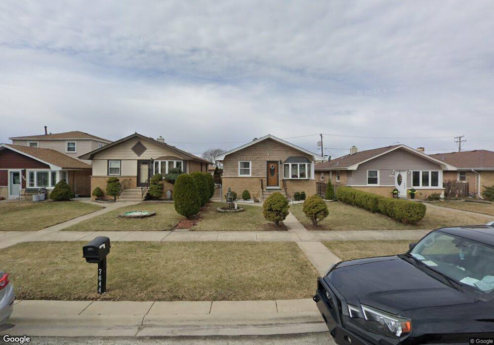
7640 Lorel Ave Burbank, IL 60459
Estimated Value: $233,000 - $309,000
2
Beds
1
Bath
1,012
Sq Ft
$278/Sq Ft
Est. Value
About This Home
This home is located at 7640 Lorel Ave, Burbank, IL 60459 and is currently estimated at $281,081, approximately $277 per square foot. 7640 Lorel Ave is a home located in Cook County with nearby schools including J.B. Kennedy Elementary School, Reavis High School, and St Albert the Great Catholic School.
Ownership History
Date
Name
Owned For
Owner Type
Purchase Details
Closed on
Jun 26, 2003
Sold by
Wlodkowski Andrzej
Bought by
Szuba Andrzej and Szuba Danuta
Current Estimated Value
Home Financials for this Owner
Home Financials are based on the most recent Mortgage that was taken out on this home.
Original Mortgage
$184,395
Interest Rate
5.47%
Mortgage Type
Unknown
Create a Home Valuation Report for This Property
The Home Valuation Report is an in-depth analysis detailing your home's value as well as a comparison with similar homes in the area
Home Values in the Area
Average Home Value in this Area
Purchase History
We collect this data history from publicly available records. To have your information removed, we recommend requesting removal directly through your county’s website.
| Date | Buyer | Sale Price | Title Company |
|---|---|---|---|
| Szuba Andrzej | $187,000 | Ticor Title Insurance |
Source: Public Records
Mortgage History
We collect this data history from publicly available records. To have your information removed, we recommend requesting removal directly through your county’s website.
| Date | Status | Borrower | Loan Amount |
|---|---|---|---|
| Previous Owner | Szuba Andrzej | $184,395 |
Source: Public Records
Tax History
| Year | Tax Paid | Tax Assessment Tax Assessment Total Assessment is a certain percentage of the fair market value that is determined by local assessors to be the total taxable value of land and additions on the property. | Land | Improvement |
|---|---|---|---|---|
| 2025 | $2,131 | $23,000 | $3,950 | $19,050 |
| 2024 | $2,131 | $23,000 | $3,950 | $19,050 |
| 2023 | $2,733 | $23,000 | $3,950 | $19,050 |
| 2022 | $2,733 | $16,474 | $3,430 | $13,044 |
| 2021 | $2,546 | $16,473 | $3,430 | $13,043 |
| 2020 | $2,288 | $16,473 | $3,430 | $13,043 |
| 2019 | $2,546 | $17,233 | $3,118 | $14,115 |
| 2018 | $2,477 | $17,233 | $3,118 | $14,115 |
| 2017 | $2,354 | $17,233 | $3,118 | $14,115 |
| 2016 | $3,604 | $14,509 | $2,598 | $11,911 |
| 2015 | $3,396 | $14,509 | $2,598 | $11,911 |
| 2014 | $3,929 | $14,509 | $2,598 | $11,911 |
| 2013 | $3,653 | $14,782 | $2,598 | $12,184 |
Source: Public Records
Map
Nearby Homes
- 7609 Lockwood Ave
- 7525 Lorel Ave
- 7514 Lockwood Ave
- 7601 Laramie Ave
- 5145 State Rd
- 7828 Lotus Ave
- 7920 S Lorel Ave
- 7807 Parkside Ave
- 8001 Lockwood Ave
- 7714 Lavergne Ave
- 5046 W 79th St
- 4900 S Lockwood Ave
- 7814 Major Ave
- 7751 Massasoit Ave
- 7835 Massasoit Ave
- 8103 Long Ave
- 7832 Lamon Ave
- 8110 Lockwood Ave
- 7740 Monitor Ave
- 7964 Lavergne Ave
Your Personal Tour Guide
Ask me questions while you tour the home.