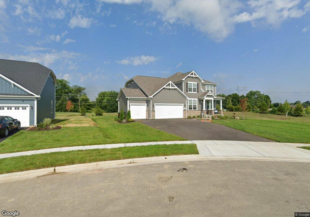
7649 White Cap Dr Powell, OH 43065
Estimated Value: $668,819 - $695,000
4
Beds
4
Baths
3,296
Sq Ft
$207/Sq Ft
Est. Value
About This Home
This home is located at 7649 White Cap Dr, Powell, OH 43065 and is currently estimated at $683,205, approximately $207 per square foot. 7649 White Cap Dr is a home with nearby schools including Liberty Tree Elementary School, Hyatts Middle School, and Olentangy Berlin High School.
Ownership History
Date
Name
Owned For
Owner Type
Purchase Details
Closed on
May 12, 2021
Bought by
Rachel M Zimmerman and Ben B Zimmerman
Current Estimated Value
Home Financials for this Owner
Home Financials are based on the most recent Mortgage that was taken out on this home.
Interest Rate
2.96%
Purchase Details
Closed on
Apr 29, 2021
Sold by
Pulte Homes Of Ohio Llc
Bought by
Zimmerman Rachel M and Zimmerman Ben B
Home Financials for this Owner
Home Financials are based on the most recent Mortgage that was taken out on this home.
Interest Rate
2.96%
Create a Home Valuation Report for This Property
The Home Valuation Report is an in-depth analysis detailing your home's value as well as a comparison with similar homes in the area
Home Values in the Area
Average Home Value in this Area
Purchase History
| Date | Buyer | Sale Price | Title Company |
|---|---|---|---|
| Rachel M Zimmerman | $524,174 | -- | |
| Zimmerman Rachel M | $524,200 | None Available |
Source: Public Records
Mortgage History
| Date | Status | Borrower | Loan Amount |
|---|---|---|---|
| Closed | Rachel M Zimmerman | -- | |
| Open | Zimmerman Rachel M | $4,000,374 |
Source: Public Records
Tax History
| Year | Tax Paid | Tax Assessment Tax Assessment Total Assessment is a certain percentage of the fair market value that is determined by local assessors to be the total taxable value of land and additions on the property. | Land | Improvement |
|---|---|---|---|---|
| 2024 | $10,778 | $199,920 | $39,900 | $160,020 |
| 2023 | $10,819 | $199,920 | $39,900 | $160,020 |
| 2022 | $10,989 | $161,070 | $29,750 | $131,320 |
| 2021 | $3,576 | $47,950 | $29,750 | $18,200 |
| 2020 | $2,140 | $26,780 | $26,780 | $0 |
| 2019 | $922 | $9,380 | $9,380 | $0 |
| 2018 | $2,412 | $36,400 | $10,430 | $25,970 |
Source: Public Records
Map
Nearby Homes
- 3296 Home Rd
- 7024 Kinsale Ln
- 7030 Kinsale Ln
- 2488 Nelson Ln Unit Lot 6887
- 0 Home Rd Unit 225042181
- 2932 Beechwood Dr
- 7757 Bridlespur Ln
- 2505 Rangeland Dr Unit Lot 7089
- 2603 Hammersley Loop Unit Lot 7096
- 2562 Hammersley Loop Unit Lot 7102
- 6290 Liberty Rd N
- 7045 Ashford Way
- 6427 Longview Dr
- 7637 Bridlespur Ln
- 3738 Pine Bank Dr
- 7042 Celebration Dr
- 3249 Winding Woods Dr
- 3769 Shoal Way
- 3443 Village Club Dr
- 3809 Shoal Way
- 7633 White Cap Dr
- 7615 White Cap Dr
- 7118 Liberty Rd N
- 7632 White Cap Dr
- 7601 Whitecap Dr
- 7649 Whitecap Dr
- 7606 White Cap Dr
- 7587 White Cap Dr
- 2820 Schoen Lake Dr
- 7573 White Cap Dr
- 7578 White Cap Dr
- 2800 Schoen Lake Dr
- 7559 White Cap Dr
- 7120 Liberty Rd N
- 2875 Summerland Loop
- 7564 White Cap Dr
- 2782 Schoen Lake Dr
- 7545 White Cap Dr
- 2851 Summerland Loop
- 7550 White Cap Dr
Your Personal Tour Guide
Ask me questions while you tour the home.