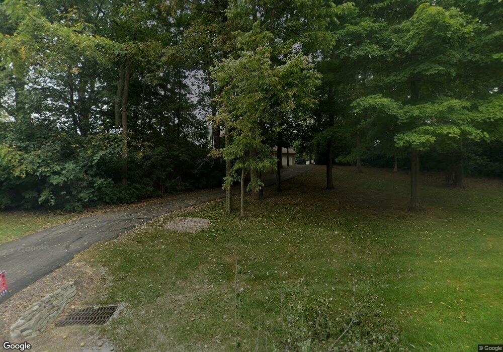
765 Stonecroft Dr Springfield, OH 45502
Estimated Value: $344,000 - $419,000
4
Beds
3
Baths
1,944
Sq Ft
$192/Sq Ft
Est. Value
About This Home
This home is located at 765 Stonecroft Dr, Springfield, OH 45502 and is currently estimated at $372,405, approximately $191 per square foot. 765 Stonecroft Dr is a home located in Clark County with nearby schools including Northridge Elementary School, Kenton Ridge Middle & High School, and Emmanuel Christian Academy.
Ownership History
Date
Name
Owned For
Owner Type
Purchase Details
Closed on
Oct 12, 2005
Sold by
Wu Chung Li
Bought by
Koehler Richard E and Koehler Teresa K
Current Estimated Value
Home Financials for this Owner
Home Financials are based on the most recent Mortgage that was taken out on this home.
Original Mortgage
$152,000
Outstanding Balance
$80,164
Interest Rate
5.82%
Mortgage Type
Fannie Mae Freddie Mac
Estimated Equity
$292,241
Purchase Details
Closed on
Dec 31, 2003
Sold by
Wu Shuyin
Bought by
Wu Chung Li
Purchase Details
Closed on
Oct 31, 2003
Sold by
Bolen Wanda Jean and Bolen Larry A
Bought by
Wu Chung Li and Wu Shuyin
Create a Home Valuation Report for This Property
The Home Valuation Report is an in-depth analysis detailing your home's value as well as a comparison with similar homes in the area
Home Values in the Area
Average Home Value in this Area
Purchase History
| Date | Buyer | Sale Price | Title Company |
|---|---|---|---|
| Koehler Richard E | $190,000 | -- | |
| Wu Chung Li | -- | -- | |
| Wu Chung Li | $46,000 | -- |
Source: Public Records
Mortgage History
| Date | Status | Borrower | Loan Amount |
|---|---|---|---|
| Open | Koehler Richard E | $152,000 |
Source: Public Records
Tax History
| Year | Tax Paid | Tax Assessment Tax Assessment Total Assessment is a certain percentage of the fair market value that is determined by local assessors to be the total taxable value of land and additions on the property. | Land | Improvement |
|---|---|---|---|---|
| 2025 | $3,216 | $110,770 | $32,910 | $77,860 |
| 2024 | $3,111 | $73,540 | $27,120 | $46,420 |
| 2023 | $3,111 | $73,540 | $27,120 | $46,420 |
| 2022 | $3,122 | $73,540 | $27,120 | $46,420 |
| 2021 | $4,018 | $80,190 | $22,600 | $57,590 |
| 2020 | $4,022 | $80,190 | $22,600 | $57,590 |
| 2019 | $4,049 | $79,220 | $22,600 | $56,620 |
| 2018 | $3,732 | $69,980 | $15,500 | $54,480 |
| 2017 | $3,199 | $64,243 | $15,498 | $48,745 |
| 2016 | $3,177 | $64,243 | $15,498 | $48,745 |
| 2015 | $2,976 | $63,095 | $14,350 | $48,745 |
| 2014 | $2,975 | $63,095 | $14,350 | $48,745 |
| 2013 | $2,906 | $63,095 | $14,350 | $48,745 |
Source: Public Records
Map
Nearby Homes
- 5300 Brookshire Ln
- 519 Moorefield Rd
- 4733 Curtis Dr
- 5235 W Ridgewood Rd
- 1309 Richmoor Rd
- 4741 Cullen Ave
- 4802 Willowbrook Dr
- 0 Moorefield Rd
- 937 Willow Rd
- 1052 Cheyenne Ave Unit 1052
- 1521 Erika Dr
- 1398 Elizabeth Ct Unit 66
- 1341 Student Ave
- 4446 Ridgewood Rd E Unit 3
- 1470 Oldham Dr Unit 12
- 4577 Reno Ln Unit 2
- 4652 Reno Ln Unit 15
- 4322 Midfield St Unit 15
- 4732 Lehigh Dr
- 4256 Midfield St Unit 9
- 5203 Brookshire Ln
- 711 Stonecroft Dr
- 5155 Brookshire Ln
- 770 Stonecroft Dr
- 671 Stonecroft Dr
- 721 Moorefield Ct
- 728 Moorefield Ct
- 5125 Brookshire Ln
- 734 Stonecroft Dr
- 5230 Brookshire Ln
- 5170 Brookshire Ln
- 715 Moorefield Ct
- 615 Stonecroft Dr
- 5140 Brookshire Ln
- 5095 Brookshire Ln
- 5435 Brookshire Ln
- 696 Stonecroft Dr
- 704 Moorefield Ct
- 5410 Brookshire Ln
- 5110 Brookshire Ln
Your Personal Tour Guide
Ask me questions while you tour the home.