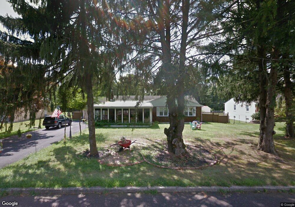
768 Lily Rd Warminster, PA 18974
Estimated Value: $471,000 - $525,000
3
Beds
3
Baths
1,934
Sq Ft
$254/Sq Ft
Est. Value
About This Home
This home is located at 768 Lily Rd, Warminster, PA 18974 and is currently estimated at $491,595, approximately $254 per square foot. 768 Lily Rd is a home located in Bucks County with nearby schools including McDonald Elementary School, Klinger Middle School, and William Tennent High School.
Ownership History
Date
Name
Owned For
Owner Type
Purchase Details
Closed on
Sep 15, 2009
Sold by
Sigg Debra J
Bought by
Adnane Salem
Current Estimated Value
Home Financials for this Owner
Home Financials are based on the most recent Mortgage that was taken out on this home.
Original Mortgage
$235,653
Outstanding Balance
$155,053
Interest Rate
5.31%
Mortgage Type
FHA
Estimated Equity
$336,542
Purchase Details
Closed on
Jul 27, 1956
Bought by
Hughes Robt E and Hughes Anne
Create a Home Valuation Report for This Property
The Home Valuation Report is an in-depth analysis detailing your home's value as well as a comparison with similar homes in the area
Home Values in the Area
Average Home Value in this Area
Purchase History
| Date | Buyer | Sale Price | Title Company |
|---|---|---|---|
| Adnane Salem | $240,000 | None Available | |
| Hughes Robt E | -- | -- |
Source: Public Records
Mortgage History
| Date | Status | Borrower | Loan Amount |
|---|---|---|---|
| Open | Adnane Salem | $235,653 |
Source: Public Records
Tax History
| Year | Tax Paid | Tax Assessment Tax Assessment Total Assessment is a certain percentage of the fair market value that is determined by local assessors to be the total taxable value of land and additions on the property. | Land | Improvement |
|---|---|---|---|---|
| 2025 | $6,248 | $29,600 | $6,680 | $22,920 |
| 2024 | $6,248 | $29,600 | $6,680 | $22,920 |
| 2023 | $6,055 | $29,600 | $6,680 | $22,920 |
| 2022 | $5,926 | $29,600 | $6,680 | $22,920 |
| 2021 | $5,788 | $29,600 | $6,680 | $22,920 |
| 2020 | $5,706 | $29,600 | $6,680 | $22,920 |
| 2019 | $5,403 | $29,600 | $6,680 | $22,920 |
| 2018 | $5,274 | $29,600 | $6,680 | $22,920 |
| 2017 | $5,120 | $29,600 | $6,680 | $22,920 |
| 2016 | $5,120 | $29,600 | $6,680 | $22,920 |
| 2015 | $4,993 | $29,600 | $6,680 | $22,920 |
| 2014 | $4,993 | $29,600 | $6,680 | $22,920 |
Source: Public Records
Map
Nearby Homes
- 667 Lily Rd
- 64 Springwood Dr
- 725 E County Line Rd
- 43 Davisville Rd
- 165 Clover Cir
- 218 Colonial Dr
- 222 Webster Way
- 2014 Jason Dr
- 5303 Centennial Station Unit 5303
- 441 Tall Oaks Dr
- 494 Rowan St
- 190 New Rd
- 4108 Centennial Station Unit 410
- 485 Rowan St
- 423 Tall Oaks Dr
- 7206 Centennial Station Unit 7206
- 484 Rowan St
- 7103 Centennial Station Unit 7103
- 299 Ann Ln
- 4150 Orangemans Rd
Your Personal Tour Guide
Ask me questions while you tour the home.