768 W 10th Ave Eugene, OR 97402
Jefferson Westside NeighborhoodEstimated Value: $511,000 - $968,000
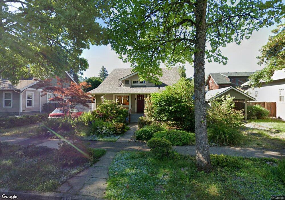
About This Home
This home is located at 768 W 10th Ave, Eugene, OR 97402 and is currently estimated at $783,133, approximately $257 per square foot. 768 W 10th Ave is a home located in Lane County with nearby schools including Cesar Chavez Elementary School, Arts And Technology Academy At Jefferson, and Churchill High School.
Ownership History
We collect this data history from publicly available records. To have your information removed, we recommend requesting removal directly through your county’s website.
Purchase Details
Purchase Details
Home Values in the Area
Average Home Value in this Area
Purchase History
We collect this data history from publicly available records. To have your information removed, we recommend requesting removal directly through your county’s website.
| Date | Buyer | Sale Price | Title Company |
|---|---|---|---|
| -- | None Available | ||
| -- | None Listed On Document |
Tax History
We collect this data history from publicly available records. To have your information removed, we recommend requesting removal directly through your county’s website.
| Year | Tax Paid | Tax Assessment Tax Assessment Total Assessment is a certain percentage of the fair market value that is determined by local assessors to be the total taxable value of land and additions on the property. | Land | Improvement |
|---|---|---|---|---|
| 2025 | $12,183 | $625,275 | -- | -- |
| 2024 | $12,031 | $607,064 | -- | -- |
| 2023 | $12,031 | $589,383 | -- | -- |
| 2022 | $11,271 | $572,217 | $0 | $0 |
| 2021 | $10,586 | $555,551 | $0 | $0 |
| 2020 | $10,624 | $539,370 | $0 | $0 |
| 2019 | $10,260 | $523,661 | $0 | $0 |
| 2018 | $9,658 | $493,601 | $0 | $0 |
| 2017 | $9,225 | $493,601 | $0 | $0 |
| 2016 | $8,606 | $479,224 | $0 | $0 |
| 2015 | $8,325 | $465,266 | $0 | $0 |
| 2014 | $7,981 | $451,715 | $0 | $0 |
Map
- 775 W 11th Ave
- 960 W 7th Ave
- 990 W 7th Ave
- 1275 Jefferson St
- 1034 Lawrence St
- 1223 Washington St
- 0 W 7th Aly
- 1150 W 11th Ave
- 1147 W 11th Aly
- 577 Madison St
- 561 Madison St
- 663 Van Buren St
- 527 Monroe St
- 511 Madison St
- 537 W 14th Ave
- 851 W 5th Ave
- 1030 W 5th Ave
- 642 W 15th Ave
- 1362 W 11th Ave
- 427 Washington St
Ask me questions while you tour the home.